Estimated Value: $397,000 - $494,000
3
Beds
2
Baths
1,655
Sq Ft
$271/Sq Ft
Est. Value
About This Home
This home is located at 115 Greenwich Plns Rd, Ware, MA 01082 and is currently estimated at $448,118, approximately $270 per square foot. 115 Greenwich Plns Rd is a home located in Hampshire County with nearby schools including Stanley M. Koziol Elementary School, Ware Middle School, and Ware Junior/Senior High School.
Ownership History
Date
Name
Owned For
Owner Type
Purchase Details
Closed on
Sep 19, 2000
Sold by
Leroux Kathleen A and Robidoux Phyllis J
Bought by
Mccarthy John D and Mccarthy Linda H
Current Estimated Value
Create a Home Valuation Report for This Property
The Home Valuation Report is an in-depth analysis detailing your home's value as well as a comparison with similar homes in the area
Home Values in the Area
Average Home Value in this Area
Purchase History
| Date | Buyer | Sale Price | Title Company |
|---|---|---|---|
| Mccarthy John D | $27,000 | -- |
Source: Public Records
Mortgage History
| Date | Status | Borrower | Loan Amount |
|---|---|---|---|
| Open | Mccarthy John D | $179,000 | |
| Closed | Mccarthy John D | $25,000 |
Source: Public Records
Tax History Compared to Growth
Tax History
| Year | Tax Paid | Tax Assessment Tax Assessment Total Assessment is a certain percentage of the fair market value that is determined by local assessors to be the total taxable value of land and additions on the property. | Land | Improvement |
|---|---|---|---|---|
| 2025 | $6,288 | $417,500 | $56,400 | $361,100 |
| 2024 | $6,019 | $368,600 | $53,200 | $315,400 |
| 2023 | $5,956 | $345,100 | $51,700 | $293,400 |
| 2022 | $5,804 | $300,100 | $47,800 | $252,300 |
| 2021 | $5,636 | $279,300 | $47,800 | $231,500 |
| 2020 | $5,469 | $265,100 | $47,800 | $217,300 |
| 2019 | $5,358 | $265,100 | $47,800 | $217,300 |
| 2018 | $5,186 | $250,400 | $46,600 | $203,800 |
| 2017 | $4,823 | $232,200 | $46,600 | $185,600 |
| 2016 | $4,693 | $232,200 | $46,600 | $185,600 |
| 2015 | $4,563 | $232,200 | $46,600 | $185,600 |
| 2014 | $4,517 | $246,700 | $49,100 | $197,600 |
Source: Public Records
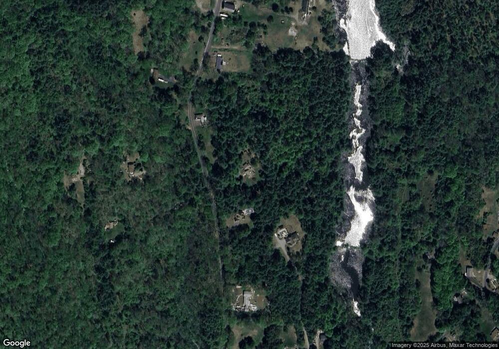
Map
Nearby Homes
- 113 Greenwich Plains Rd
- 54 Cummings Rd
- Lot 40 Osborne Rd
- 209 Osborne Rd
- 84 Greenwich Rd
- 36 Berkshire Cir
- 143 Eagle St
- 201 Belchertown Rd
- 84 Anderson Rd
- 10 Pearl St
- 1 Anna St
- 76 Aspen St
- 152 North St
- 8 Aspen St
- 114 North St
- 20 Indian Hill Rd
- 46 Horseshoe Cir
- 33 High St
- Lot 16 Coldbrook Dr
- Lot 20 Coldbrook Dr
- 113 Greenwich Plns Rd
- 125 Greenwich Plns Rd
- 75 Cummings Rd
- 131 Greenwich Plns Rd
- 118 Greenwich Plns Rd
- 130 Greenwich Plns Rd
- 109 Greenwich Plains Rd
- 109 Greenwich Plns Rd
- 116 Greenwich Plns Rd
- 215 Greenwich Plains Rd
- 0 Old Poor Farm Rd
- 0 Old Poor Farm Rd Unit 70427625
- 0 Old Poor Farm Rd Unit 73074142
- 0 Old Poor Farm Rd Unit 70658112
- 0 Old Poor Farm Rd Unit 72208997
- 122 Greenwich Plns Rd
- 135 Greenwich Plns Rd
- 140 Greenwich Plns Rd
- 140 Greenwich Plns Rd
- 140 Greenwich Plains Rd