Estimated Value: $507,752 - $546,000
3
Beds
2
Baths
2,327
Sq Ft
$225/Sq Ft
Est. Value
About This Home
This home is located at 115 Irving Dr, Weare, NH 03281 and is currently estimated at $524,188, approximately $225 per square foot. 115 Irving Dr is a home with nearby schools including Center Woods Elementary School, Weare Middle School, and John Stark Regional High School.
Create a Home Valuation Report for This Property
The Home Valuation Report is an in-depth analysis detailing your home's value as well as a comparison with similar homes in the area
Home Values in the Area
Average Home Value in this Area
Tax History Compared to Growth
Tax History
| Year | Tax Paid | Tax Assessment Tax Assessment Total Assessment is a certain percentage of the fair market value that is determined by local assessors to be the total taxable value of land and additions on the property. | Land | Improvement |
|---|---|---|---|---|
| 2024 | $7,137 | $350,000 | $123,400 | $226,600 |
| 2023 | $6,594 | $350,000 | $123,400 | $226,600 |
| 2022 | $6,090 | $350,000 | $123,400 | $226,600 |
| 2021 | $6,020 | $350,000 | $123,400 | $226,600 |
| 2020 | $6,071 | $253,500 | $86,700 | $166,800 |
| 2019 | $6,063 | $255,700 | $86,700 | $169,000 |
| 2018 | $5,889 | $255,700 | $86,700 | $169,000 |
| 2016 | $5,720 | $255,700 | $86,700 | $169,000 |
| 2015 | $5,596 | $249,700 | $86,600 | $163,100 |
| 2014 | $5,437 | $244,800 | $86,600 | $158,200 |
| 2013 | $5,324 | $244,800 | $86,600 | $158,200 |
Source: Public Records
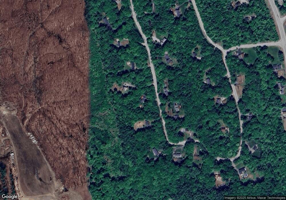
Map
Nearby Homes
- 196 Deering Center Rd
- 624 S Stark Hwy
- 10 Sap House Rd
- 103 Renshaw Rd
- 238 Old Francestown Rd
- 200 Mountain Rd
- 179 Oak Hill Rd
- 77 Gould Rd
- 281 Hodgdon Rd
- 194 Buckley Rd Unit 2
- 194 Buckley Rd Unit 44
- 93 Daniels Rd
- 849 River Rd
- 0 Huntington Hill Rd Unit 69
- 450 Weare Rd
- 174 S Stark Hwy Unit 13
- 174 S Stark Hwy Unit 1
- 174 S Stark Hwy Unit 23
- 30 Dels Way
- 233 N Stark Hwy