115 Lakeshore Dr Middleton, NH 03887
Estimated Value: $376,682 - $464,000
2
Beds
1
Bath
1,432
Sq Ft
$286/Sq Ft
Est. Value
About This Home
This home is located at 115 Lakeshore Dr, Middleton, NH 03887 and is currently estimated at $409,671, approximately $286 per square foot. 115 Lakeshore Dr is a home located in Strafford County with nearby schools including Valley View Community School, Henry Wilson Memorial School, and Farmington Senior High School.
Ownership History
Date
Name
Owned For
Owner Type
Purchase Details
Closed on
Jun 25, 2010
Sold by
Bressack Michael B
Bought by
Nhfa
Current Estimated Value
Purchase Details
Closed on
Feb 23, 2007
Sold by
Skidgel Victoria F
Bought by
Bressack Michael B
Home Financials for this Owner
Home Financials are based on the most recent Mortgage that was taken out on this home.
Original Mortgage
$220,890
Interest Rate
6.23%
Mortgage Type
Purchase Money Mortgage
Create a Home Valuation Report for This Property
The Home Valuation Report is an in-depth analysis detailing your home's value as well as a comparison with similar homes in the area
Home Values in the Area
Average Home Value in this Area
Purchase History
| Date | Buyer | Sale Price | Title Company |
|---|---|---|---|
| Nhfa | $144,000 | -- | |
| Bressack Michael B | $220,000 | -- |
Source: Public Records
Mortgage History
| Date | Status | Borrower | Loan Amount |
|---|---|---|---|
| Previous Owner | Bressack Michael B | $220,890 |
Source: Public Records
Tax History Compared to Growth
Tax History
| Year | Tax Paid | Tax Assessment Tax Assessment Total Assessment is a certain percentage of the fair market value that is determined by local assessors to be the total taxable value of land and additions on the property. | Land | Improvement |
|---|---|---|---|---|
| 2024 | $4,654 | $299,500 | $136,900 | $162,600 |
| 2023 | $4,504 | $299,500 | $136,900 | $162,600 |
| 2022 | $4,125 | $158,100 | $52,200 | $105,900 |
| 2021 | $4,341 | $158,100 | $52,200 | $105,900 |
| 2020 | $4,469 | $158,100 | $52,200 | $105,900 |
| 2019 | $4,155 | $158,100 | $52,200 | $105,900 |
| 2018 | $4,425 | $158,100 | $52,200 | $105,900 |
| 2017 | $3,657 | $135,700 | $50,500 | $85,200 |
| 2016 | $4,907 | $135,700 | $50,500 | $85,200 |
| 2015 | $3,888 | $135,700 | $50,500 | $85,200 |
| 2014 | -- | $138,700 | $50,500 | $88,200 |
| 2013 | $3,273 | $138,700 | $50,500 | $88,200 |
Source: Public Records
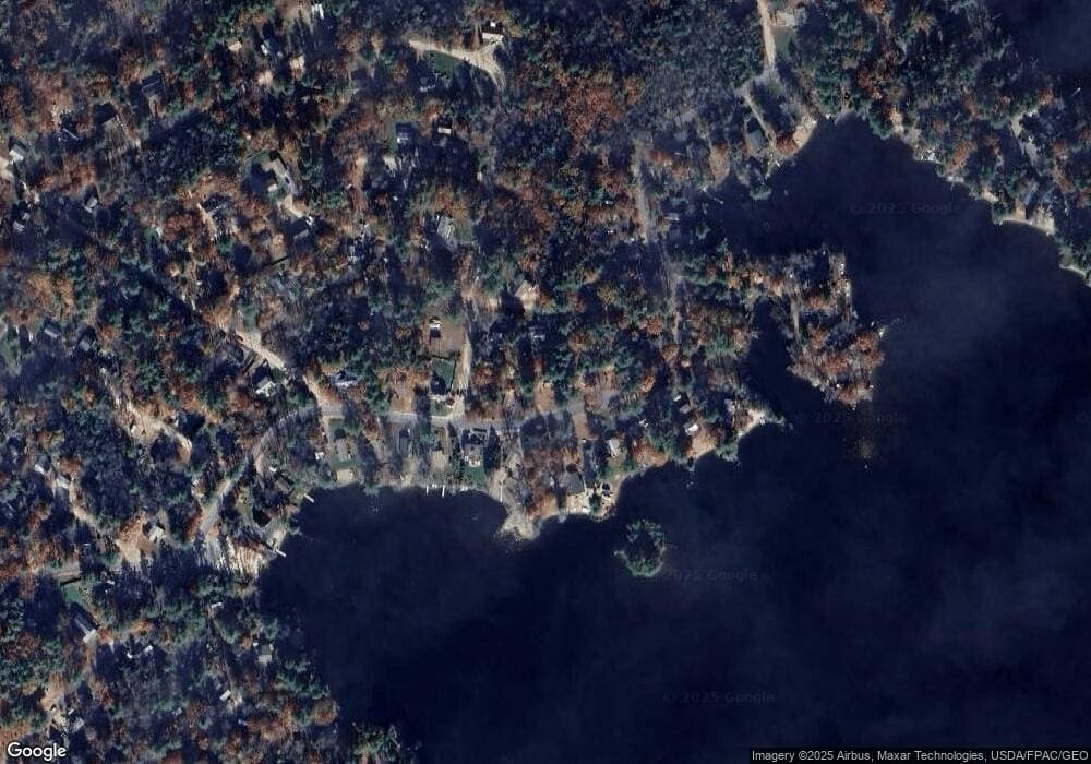
Map
Nearby Homes
- 288 Pinkham Rd
- Lot 330 Nicola Rd
- 0 Nicola Rd Unit 333
- 42 Lakeshore Dr
- 130 Nicola Rd
- 126 Silver St
- 31 Lake Shore Dr
- 55 Jordan Dr
- 123 Pinkham Rd
- 00 Pinkham Rd Unit 11-5
- 0 Pinkham Rd Unit Map 8 Lot 6-4
- 00 Pinkham Rd Unit 11-7
- 795 New Hampshire 153
- 684 Route 153
- TBD Pheasant Dr
- 586 New Hampshire 153
- 0 Fox Rd Unit 5010590
- Lot 12-10 New Durham Rd
- 108 Kings Hwy
- 78 Old Tate Ln
- 113 Lake Shore Dr
- 32 Birch Rd
- 38 Birch Rd
- 129 Lakeshore Dr
- 95 Spruce Rd
- 128 Lake Shore Dr
- 120 Lakeshore Dr
- 112 Lakeshore Dr
- 122 Lakeshore Dr
- 118 Lakeshore Dr
- 133 Lakeshore Dr
- 130 Lakeshore Dr
- 110 Lakeshore Dr
- 41 Birch Rd
- 105 Lakeshore Dr
- 29 Birch Rd
- 102 Lakeshore Dr
- 132 Lakeshore Dr
- 88 Lakeshore Dr
- 141 Lakeshore Dr