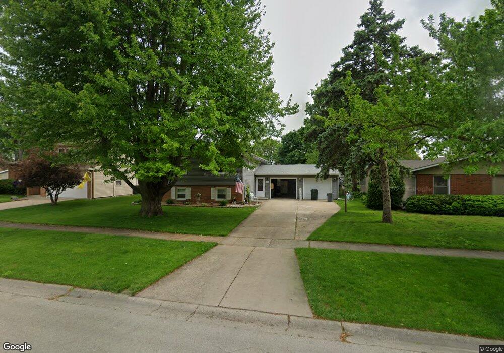
115 Locust St Oswego, IL 60543
Downtown Oswego NeighborhoodEstimated Value: $292,000 - $316,000
3
Beds
2
Baths
1,152
Sq Ft
$266/Sq Ft
Est. Value
About This Home
This home is located at 115 Locust St, Oswego, IL 60543 and is currently estimated at $306,557, approximately $266 per square foot. 115 Locust St is a home located in Kendall County with nearby schools including Southbury Elementary School, Traughber Junior High School, and Oswego High School.
Ownership History
Date
Name
Owned For
Owner Type
Purchase Details
Closed on
Jan 29, 2025
Sold by
Kenyon Danny L and Kenyon Denise L
Bought by
Kenyon Family Living Trust and Kenyon
Current Estimated Value
Create a Home Valuation Report for This Property
The Home Valuation Report is an in-depth analysis detailing your home's value as well as a comparison with similar homes in the area
Home Values in the Area
Average Home Value in this Area
Purchase History
| Date | Buyer | Sale Price | Title Company |
|---|---|---|---|
| Kenyon Family Living Trust | -- | None Listed On Document |
Source: Public Records
Tax History
| Year | Tax Paid | Tax Assessment Tax Assessment Total Assessment is a certain percentage of the fair market value that is determined by local assessors to be the total taxable value of land and additions on the property. | Land | Improvement |
|---|---|---|---|---|
| 2024 | $6,742 | $94,778 | $20,900 | $73,878 |
| 2023 | $5,898 | $82,416 | $18,174 | $64,242 |
| 2022 | $5,898 | $76,311 | $16,828 | $59,483 |
| 2021 | $5,644 | $71,319 | $15,727 | $55,592 |
| 2020 | $5,503 | $69,242 | $15,269 | $53,973 |
| 2019 | $5,397 | $67,226 | $14,825 | $52,401 |
| 2018 | $5,678 | $67,226 | $14,825 | $52,401 |
| 2017 | $5,737 | $61,960 | $13,664 | $48,296 |
| 2016 | $2,742 | $58,730 | $12,952 | $45,778 |
| 2015 | $5,506 | $56,471 | $12,454 | $44,017 |
| 2014 | -- | $54,299 | $11,975 | $42,324 |
| 2013 | -- | $56,561 | $12,474 | $44,087 |
Source: Public Records
Map
Nearby Homes
- 429 Prairieview Dr
- 371 S Madison St
- 206 E Washington St
- 268 S Adams St
- 69 Monroe St
- 395 Danforth Dr
- 238 Cooney Way
- 239 Cooney Way
- 403 Tanya Ln
- 343 Danforth Dr
- 713 Erwin St
- 236 Cooney Way
- 237 Cooney Way
- 55 Garfield St
- 101 Bell Ct
- 114 Riverview Ct
- 514 Danbury Dr Unit 4
- 187 Eisenhower Dr
- 117 Presidential Blvd Unit 3244
- 1451 Vintage Dr
Your Personal Tour Guide
Ask me questions while you tour the home.