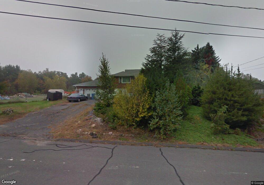
115 Mohawk Rd Bristol, CT 06010
South Bristol NeighborhoodEstimated Value: $346,000 - $385,000
About This Home
This home is located at 115 Mohawk Rd, Bristol, CT 06010 and is currently estimated at $364,454, approximately $326 per square foot. 115 Mohawk Rd is a home located in Hartford County with nearby schools including Chippens Hill Middle School, Bristol Central High School, and Immanuel Lutheran School.
Ownership History
We collect this data history from publicly available records. To have your information removed, we recommend requesting removal directly through your county’s website.
Purchase Details
Home Values in the Area
Average Home Value in this Area
Purchase History
We collect this data history from publicly available records. To have your information removed, we recommend requesting removal directly through your county’s website.
| Date | Buyer | Sale Price | Title Company |
|---|---|---|---|
| $116,000 | -- |
Mortgage History
We collect this data history from publicly available records. To have your information removed, we recommend requesting removal directly through your county’s website.
| Date | Status | Borrower | Loan Amount |
|---|---|---|---|
| Open | $132,900 | ||
| Closed | $63,600 | ||
| Closed | $20,000 |
Tax History
We collect this data history from publicly available records. To have your information removed, we recommend requesting removal directly through your county’s website.
| Year | Tax Paid | Tax Assessment Tax Assessment Total Assessment is a certain percentage of the fair market value that is determined by local assessors to be the total taxable value of land and additions on the property. | Land | Improvement |
|---|---|---|---|---|
| 2025 | $6,140 | $181,930 | $47,880 | $134,050 |
| 2024 | $5,794 | $181,930 | $47,880 | $134,050 |
| 2023 | $5,522 | $181,930 | $47,880 | $134,050 |
| 2022 | $4,953 | $129,150 | $35,630 | $93,520 |
| 2021 | $4,953 | $129,150 | $35,630 | $93,520 |
| 2020 | $4,953 | $129,150 | $35,630 | $93,520 |
| 2019 | $4,914 | $129,150 | $35,630 | $93,520 |
| 2018 | $4,763 | $129,150 | $35,630 | $93,520 |
| 2017 | $4,744 | $131,670 | $50,890 | $80,780 |
| 2016 | $4,661 | $129,360 | $50,890 | $78,470 |
| 2015 | $4,477 | $129,360 | $50,890 | $78,470 |
| 2014 | $4,477 | $129,360 | $50,890 | $78,470 |
Map
- 489 Wolcott St Unit 32
- 489 Wolcott St Unit 85
- 489 Wolcott St Unit 1
- 489 Wolcott St Unit 81
- 489 Wolcott St Unit 39
- 489 Wolcott St Unit 34
- 489 Wolcott St Unit 105
- 489 Wolcott St Unit 40
- 31 Averyll Ave
- 15 Averyll Ave
- 48 Tiffany Ln
- 235 Corbin Ridge
- 272 Old Orchard Rd
- 30 Old Wolcott Rd
- 105 North St
- 48 Cedar Ave
- 145 Corbin Ridge
- 161 Cameron Dr
- 170 Longview Ave
- 30 Sherbrook St
- 92 Indian Trail
- 114 Mohawk Rd
- 74 Indian Trail
- 126 Mohawk Rd
- 85 Mohawk Rd
- 100 Mohawk Rd
- 93 Indian Trail
- 81 Indian Trail
- 105 Indian Trail
- 84 Mohawk Rd
- 67 Indian Trail
- 102 Mattatuck Rd
- 90 Mattatuck Rd
- 73 Mohawk Rd
- 132 Indian Trail
- 78 Mattatuck Rd
- 117 Indian Trail
- 72 Mohawk Rd
- 57 Indian Trail
- 61 Mohawk Rd
Ask me questions while you tour the home.