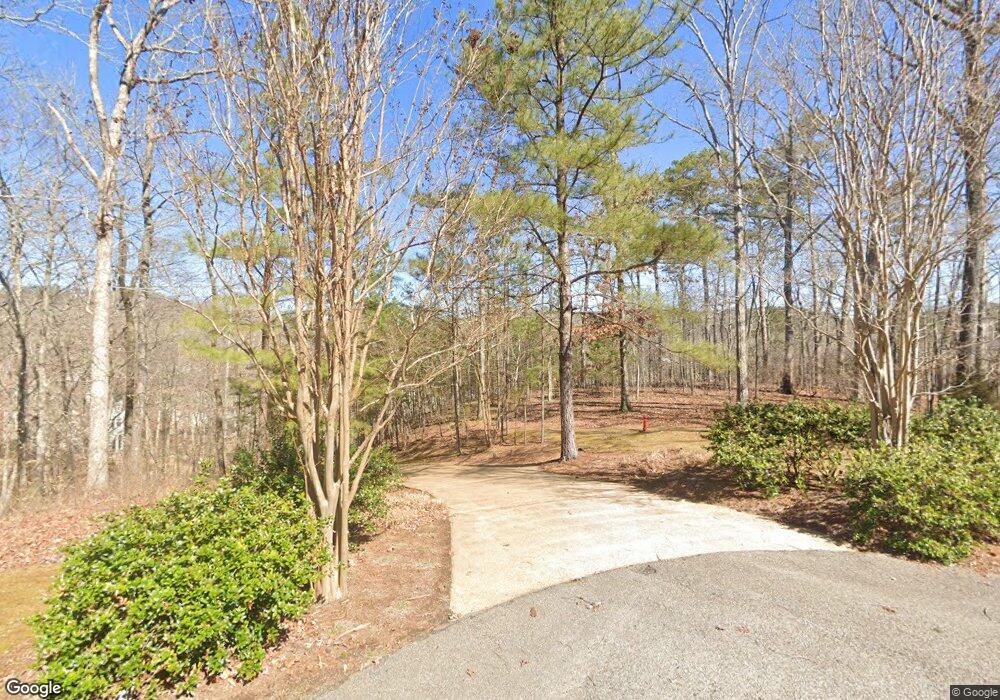
115 Pier Point Savannah, TN 38372
Estimated Value: $986,000 - $1,348,510
4
Beds
5
Baths
4,156
Sq Ft
$281/Sq Ft
Est. Value
About This Home
This home is located at 115 Pier Point, Savannah, TN 38372 and is currently estimated at $1,167,255, approximately $280 per square foot. 115 Pier Point is a home with nearby schools including Hardin County High School.
Ownership History
Date
Name
Owned For
Owner Type
Purchase Details
Closed on
Nov 13, 2024
Sold by
Bell Samuel Byron and Bell Angella L
Bought by
Samuel B Bell Revocable Living Trust and Angella L Bell Revocable Living Trust
Current Estimated Value
Purchase Details
Closed on
Apr 27, 2020
Sold by
Bell Samuel Byron and Bell Angella L
Bought by
Bell Samuel B and Samuel B Bell Revocable Living Trust
Purchase Details
Closed on
Nov 2, 1999
Sold by
Byrd and Linda
Bought by
Linda Doyle
Purchase Details
Closed on
Oct 5, 1999
Sold by
Byrd and Linda
Bought by
Bell Samuel B
Purchase Details
Closed on
Feb 27, 1999
Bought by
Byrd Jimmy L and Byrd Linda
Purchase Details
Closed on
Sep 30, 1996
Bought by
Montana Land Company Llc
Purchase Details
Closed on
Oct 26, 1992
Purchase Details
Closed on
Apr 26, 1990
Purchase Details
Closed on
Dec 27, 1989
Purchase Details
Closed on
May 11, 1988
Bought by
Blasingame E Benard
Purchase Details
Closed on
Jan 6, 1987
Bought by
Blasingame E Benard
Purchase Details
Closed on
Jun 12, 1969
Bought by
Tenn River Pulp and Tenn Paper
Create a Home Valuation Report for This Property
The Home Valuation Report is an in-depth analysis detailing your home's value as well as a comparison with similar homes in the area
Home Values in the Area
Average Home Value in this Area
Purchase History
| Date | Buyer | Sale Price | Title Company |
|---|---|---|---|
| Samuel B Bell Revocable Living Trust | -- | None Listed On Document | |
| Samuel B Bell Revocable Living Trust | -- | None Listed On Document | |
| Bell Samuel B | -- | None Available | |
| Bell Samuel Byron | -- | None Available | |
| Linda Doyle | $75,000 | -- | |
| Bell Samuel B | $110,000 | -- | |
| Byrd Jimmy L | $165,000 | -- | |
| Montana Land Company Llc | $3,000,000 | -- | |
| -- | -- | -- | |
| Points Development Inc | -- | -- | |
| -- | -- | -- | |
| -- | -- | -- | |
| Blasingame E Benard | -- | -- | |
| Blasingame E Benard | -- | -- | |
| Tenn River Pulp | -- | -- |
Source: Public Records
Tax History Compared to Growth
Tax History
| Year | Tax Paid | Tax Assessment Tax Assessment Total Assessment is a certain percentage of the fair market value that is determined by local assessors to be the total taxable value of land and additions on the property. | Land | Improvement |
|---|---|---|---|---|
| 2024 | $4,161 | $237,750 | $43,750 | $194,000 |
| 2023 | $4,161 | $237,750 | $43,750 | $194,000 |
| 2022 | $3,379 | $164,025 | $43,750 | $120,275 |
| 2021 | $3,379 | $164,025 | $43,750 | $120,275 |
| 2020 | $3,379 | $164,025 | $43,750 | $120,275 |
| 2019 | $3,379 | $164,025 | $43,750 | $120,275 |
| 2018 | $3,266 | $164,025 | $43,750 | $120,275 |
| 2017 | $3,389 | $162,950 | $43,750 | $119,200 |
| 2016 | $3,389 | $162,950 | $43,750 | $119,200 |
| 2015 | $2,966 | $162,950 | $43,750 | $119,200 |
| 2014 | $2,966 | $162,950 | $43,750 | $119,200 |
Source: Public Records
Map
Nearby Homes
- 120 Pier Point
- 265 Anchor Point
- 305 Anchor Bay Point
- 315 Anchor Bay Point
- 8 Captains Cove
- 525 Sailboat Point
- 0 Quarry Hollow Pt Rd Unit 10205614
- 40 Baileys Way Pointe
- 5 & 6 Light Pointe
- 00 Breeze Point
- 6 Breeze Point
- 123 Breeze Point
- 3 Breeze Point
- 12 Breeze Point
- 45 Pinnacle Point
- 0 Breeze Point Unit RTC2922640
- 85 Breeze Point
- 200 Deer Path
- 198 Deer Path Unit 5
- 3595 Northshore Dr
- 70 Tall Timber Cove
- 1 Tall Timber Ridge
- 55 Timber Ridge Dr
- 54 Timber Ridge Dr
- 57 Timber Ridge Dr
- 56 Timber Ridge Dr
- 50 Timber Ridge Dr
- 45 Timber Ridge Dr
- 13 Timber Ridge Dr
- 14 Timber Ridge Dr
- 95 Timber Ridge Dr
- 10 Timber Ridge Dr
- 90 Tall Timber Cove
- 7 Oak St
- 70 Seven Oaks Cove
- 50 Seven Oaks Cove
- 95 Tall Timbers Cove
- 30 Tall Timbers Cove
- 3 Pier Point
- 9 Pier Point
