Estimated Value: $420,000 - $536,439
4
Beds
3
Baths
1,584
Sq Ft
$296/Sq Ft
Est. Value
About This Home
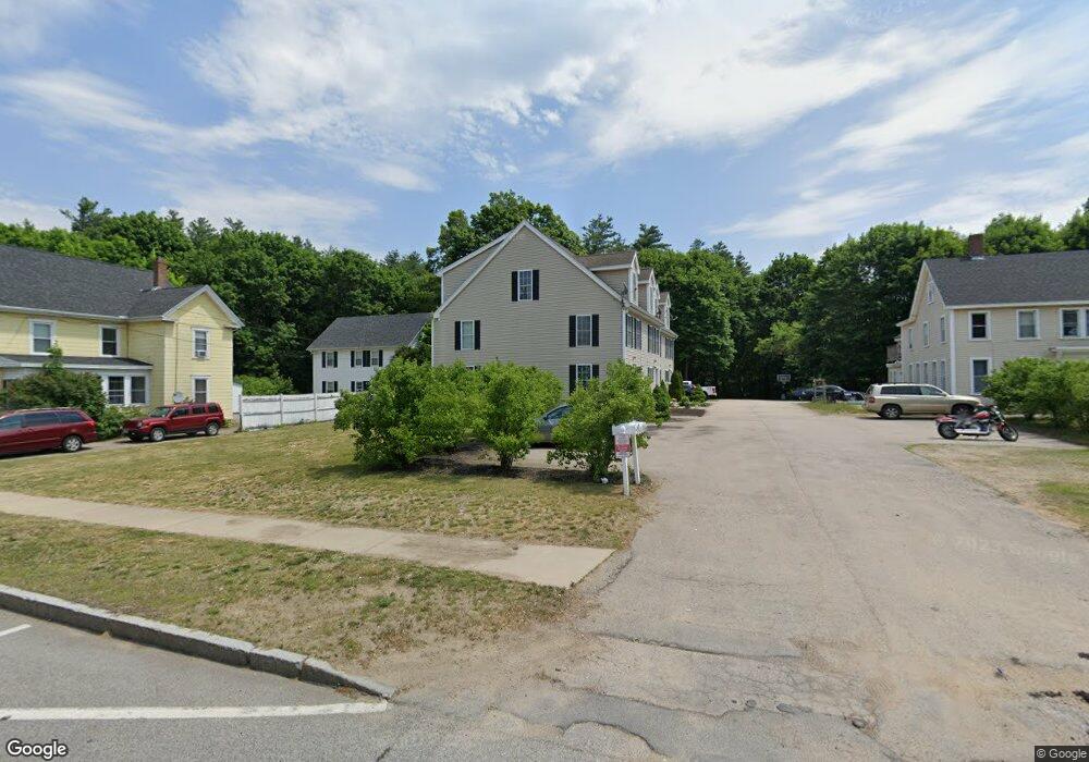
This home is located at 115 Portland Ave Unit C, Dover, NH 03820 and is currently estimated at $468,610, approximately $295 per square foot. 115 Portland Ave Unit C is a home located in Strafford County with nearby schools including Horne Street School, Dover Middle School, and Dover Senior High School.
Ownership History
Date
Name
Owned For
Owner Type
Purchase Details
Closed on
Oct 20, 2004
Sold by
Beaudette Raymond J and Beaudette Lisa M
Bought by
Norton Dawn E
Current Estimated Value
Home Financials for this Owner
Home Financials are based on the most recent Mortgage that was taken out on this home.
Original Mortgage
$200,000
Outstanding Balance
$99,581
Interest Rate
5.85%
Mortgage Type
Purchase Money Mortgage
Estimated Equity
$369,029
Create a Home Valuation Report for This Property
The Home Valuation Report is an in-depth analysis detailing your home's value as well as a comparison with similar homes in the area
Home Values in the Area
Average Home Value in this Area
Purchase History
| Date | Buyer | Sale Price | Title Company |
|---|---|---|---|
| Norton Dawn E | $226,900 | -- |
Source: Public Records
Mortgage History
| Date | Status | Borrower | Loan Amount |
|---|---|---|---|
| Open | Norton Dawn E | $200,000 |
Source: Public Records
Tax History Compared to Growth
Tax History
| Year | Tax Paid | Tax Assessment Tax Assessment Total Assessment is a certain percentage of the fair market value that is determined by local assessors to be the total taxable value of land and additions on the property. | Land | Improvement |
|---|---|---|---|---|
| 2024 | $6,741 | $371,000 | $40,000 | $331,000 |
| 2023 | $6,106 | $326,500 | $36,000 | $290,500 |
| 2022 | $5,807 | $292,700 | $28,000 | $264,700 |
| 2021 | $5,664 | $261,000 | $31,000 | $230,000 |
| 2020 | $5,532 | $222,600 | $32,000 | $190,600 |
| 2019 | $5,411 | $214,800 | $28,000 | $186,800 |
| 2018 | $5,094 | $204,400 | $17,000 | $187,400 |
| 2017 | $4,964 | $191,900 | $10,000 | $181,900 |
| 2016 | $4,992 | $189,900 | $16,100 | $173,800 |
| 2015 | $4,776 | $179,500 | $10,000 | $169,500 |
| 2014 | $4,669 | $179,500 | $10,000 | $169,500 |
| 2011 | -- | $173,800 | $14,000 | $159,800 |
Source: Public Records
Map
Nearby Homes
- 23 Townsend Dr
- 46-50 Cocheco St
- 3 Cocheco St
- 24 Atlantic Ave
- 27 Atlantic Ave
- 96 Broadway Unit 98
- 25 School St Unit 7
- 45 New York St Unit 8
- 39 New York St
- Lot 8 Emerson Ridge Unit 8
- 36 Little Bay Dr
- 22 Little Bay Dr
- 47 Central Ave
- Lot 6 Emerson Ridge Unit 6
- 98 Henry Law Ave Unit 28
- 18 5th St
- 36 Oak St
- 34 Floral Ave Unit 5
- 93 Henry Law Ave Unit Cricket Brook Condo
- 93 Henry Law Ave Unit 29
- 115 Portland Ave Unit D
- 115 Portland Ave Unit B
- 115 Portland Ave Unit A
- 115 Portland Ave Unit 115 B
- 115 Portland Ave
- 115 Portland Ave Unit 115 D
- 123 Portland Ave
- 113 Portland Ave Unit B
- 113 Portland Ave Unit D
- 113 Portland Ave Unit C
- 113 Portland Ave Unit 1
- 113 Portland Ave
- 111 Portland Ave
- 125 Portland Ave
- 4 Hancock St
- 1 Hancock St
- 98 Portland Ave
- 2 Hancock St
- 2 Hancock St Unit C
- 2 Hancock St Unit D