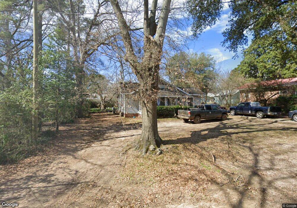
115 S Walnut St Vivian, LA 71082
Estimated Value: $35,000 - $74,000
3
Beds
1
Bath
1,272
Sq Ft
$47/Sq Ft
Est. Value
About This Home
This home is located at 115 S Walnut St, Vivian, LA 71082 and is currently estimated at $60,223, approximately $47 per square foot. 115 S Walnut St is a home with nearby schools including South Highlands Elementary, Judson Fundamental Elementary School, and Fairfield Magnet School.
Ownership History
Date
Name
Owned For
Owner Type
Purchase Details
Closed on
Feb 1, 2012
Sold by
Nationstar Mortgage Llc
Bought by
Federal National Mortgage Association
Current Estimated Value
Purchase Details
Closed on
Jan 25, 2012
Sold by
Graham Jason Caleb and Graham Cindi Renae Phillips
Bought by
Nationstar Mortgage Inc
Purchase Details
Closed on
Jul 13, 2007
Sold by
Kennedy John Mitchell
Bought by
Reynolds Jay
Home Financials for this Owner
Home Financials are based on the most recent Mortgage that was taken out on this home.
Original Mortgage
$51,500
Interest Rate
6.41%
Mortgage Type
Unknown
Create a Home Valuation Report for This Property
The Home Valuation Report is an in-depth analysis detailing your home's value as well as a comparison with similar homes in the area
Home Values in the Area
Average Home Value in this Area
Purchase History
| Date | Buyer | Sale Price | Title Company |
|---|---|---|---|
| Federal National Mortgage Association | -- | None Available | |
| Nationstar Mortgage Inc | $40,000 | None Available | |
| Reynolds Jay | $71,500 | None Available |
Source: Public Records
Mortgage History
| Date | Status | Borrower | Loan Amount |
|---|---|---|---|
| Previous Owner | Reynolds Jay | $51,500 |
Source: Public Records
Tax History Compared to Growth
Tax History
| Year | Tax Paid | Tax Assessment Tax Assessment Total Assessment is a certain percentage of the fair market value that is determined by local assessors to be the total taxable value of land and additions on the property. | Land | Improvement |
|---|---|---|---|---|
| 2024 | $635 | $3,285 | $731 | $2,554 |
| 2023 | $641 | $3,250 | $696 | $2,554 |
| 2022 | $641 | $3,250 | $696 | $2,554 |
| 2021 | $641 | $3,250 | $696 | $2,554 |
| 2020 | $637 | $3,250 | $696 | $2,554 |
| 2019 | $631 | $3,250 | $696 | $2,554 |
| 2018 | $561 | $3,250 | $696 | $2,554 |
| 2017 | $630 | $3,250 | $696 | $2,554 |
| 2015 | $885 | $5,390 | $700 | $4,690 |
| 2014 | $890 | $5,390 | $700 | $4,690 |
| 2013 | -- | $5,390 | $700 | $4,690 |
Source: Public Records
Map
Nearby Homes
- 122 S Bird St
- 310 W Tennessee Ave
- 9794 Upper State Line Rd
- 425 N Cypress St
- 210 W Mississippi Ave
- 109 N Huckaby St
- 325 E Oklahoma Ave
- 9420 Hosston Rd
- 1220 N Carson St
- Lot 14 Peaceful Pines Ln
- Lot 4 Peaceful Pines Ln
- Lot 2 Peaceful Pines Ln
- Lot 6 Peaceful Pines Ln
- Lot 5 Peaceful Pines Ln
- Lot 12 Peaceful Pines Ln
- 62011 Rebel Heights Rd
- 9008 Hosston Vivian Rd
- 10651 Murry Ln
- 2040 Ma County Road 3509
- 8872 Mira Myrtis Rd
- 103 S Walnut St
- 502 W Arkansas Ave
- 531 W Louisiana Ave
- 531 W Louisiana Ave
- 104 S Bird St
- 120 S Bird St
- 423 W Louisiana Ave
- 535 W Louisiana Ave
- 508 W Louisiana Ave
- 101 N Walnut St
- 512 W Louisiana Ave
- 117 S Bird St
- 415 W Louisiana Ave
- 520 W Louisiana Ave
- 601 W Louisiana Ave
- 414 W Louisiana Ave
- 525 W Arkansas Ave
- 525 W Arkansas Ave
- 404 W Arkansas Ave
- 107 N Walnut St