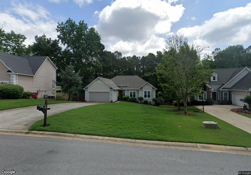
115 Springfield Blvd Macon, GA 31210
Estimated Value: $200,000 - $223,000
3
Beds
2
Baths
1,544
Sq Ft
$139/Sq Ft
Est. Value
About This Home
This home is located at 115 Springfield Blvd, Macon, GA 31210 and is currently estimated at $214,228, approximately $138 per square foot. 115 Springfield Blvd is a home located in Bibb County with nearby schools including Springdale Elementary School, Howard Middle School, and Howard High School.
Ownership History
Date
Name
Owned For
Owner Type
Purchase Details
Closed on
Nov 22, 2010
Sold by
Wells Fargo Bank Na
Bought by
Ellis Raymond Lee
Current Estimated Value
Home Financials for this Owner
Home Financials are based on the most recent Mortgage that was taken out on this home.
Original Mortgage
$100,388
Outstanding Balance
$65,907
Interest Rate
4.25%
Mortgage Type
FHA
Estimated Equity
$148,321
Purchase Details
Closed on
Sep 7, 2010
Sold by
Brown Winifred J
Bought by
Wells Fargo Bank Na
Create a Home Valuation Report for This Property
The Home Valuation Report is an in-depth analysis detailing your home's value as well as a comparison with similar homes in the area
Purchase History
| Date | Buyer | Sale Price | Title Company |
|---|---|---|---|
| Ellis Raymond Lee | $103,000 | None Available | |
| Wells Fargo Bank Na | $80,113 | None Available |
Source: Public Records
Mortgage History
| Date | Status | Borrower | Loan Amount |
|---|---|---|---|
| Open | Ellis Raymond Lee | $100,388 |
Source: Public Records
Tax History
| Year | Tax Paid | Tax Assessment Tax Assessment Total Assessment is a certain percentage of the fair market value that is determined by local assessors to be the total taxable value of land and additions on the property. | Land | Improvement |
|---|---|---|---|---|
| 2025 | $1,744 | $77,988 | $12,000 | $65,988 |
| 2024 | $1,730 | $75,119 | $12,000 | $63,119 |
| 2023 | $1,076 | $67,381 | $10,000 | $57,381 |
| 2022 | $1,903 | $61,961 | $10,170 | $51,791 |
| 2021 | $1,890 | $56,737 | $9,450 | $47,287 |
| 2020 | $1,931 | $56,737 | $9,450 | $47,287 |
| 2019 | $1,700 | $50,433 | $8,550 | $41,883 |
| 2018 | $2,784 | $50,433 | $8,550 | $41,883 |
| 2017 | $1,459 | $45,930 | $7,650 | $38,280 |
| 2016 | $1,347 | $45,930 | $7,650 | $38,280 |
| 2015 | $1,907 | $45,930 | $7,650 | $38,280 |
| 2014 | $1,910 | $45,930 | $7,650 | $38,280 |
Source: Public Records
Map
Nearby Homes
- 108 Hillbrooke Ct
- 1297 Wesleyan Dr
- 5341 Northside Dr
- 123 Saddle Run Ct
- 204 Carriage Way
- 5369 Rivoli Dr
- 1643 Wesleyan Hills Dr
- 1064 Brookford Rd
- 567 Billingswood Dr
- 181 Rivoli Landing
- 175 Rivoli Landing
- 5104 Pine Ridge Dr
- 807 Wera Place
- 137 Senora Place
- 1838 Forest Hill Rd
- 5158 Bowman Rd
- 4726 Cheryle Ann Dr
- 135 Chadwick Dr
- 100 Palmer Dr
- 169 Brookefield Dr
- 113 Springfield Blvd
- 117 Springfield Blvd
- 111 Springfield Blvd
- 121 Springfield Blvd
- 301 Ashville Ct
- 405 Ashville Dr
- 109 Springfield Blvd
- 302 Ashville Ct
- 409 Ashville Dr
- 200 Spring Hill Ct
- 413 Ashville Dr
- 107 Springfield Blvd Unit 47
- 107 Springfield Blvd
- 125 Springfield Blvd
- 309 Ashville Ct
- 306 Ashville Ct
- 176 Spring Hill Ct
- 204 Spring Hill Ct
- 417 Ashville Dr
- 100 Durham Place
Your Personal Tour Guide
Ask me questions while you tour the home.