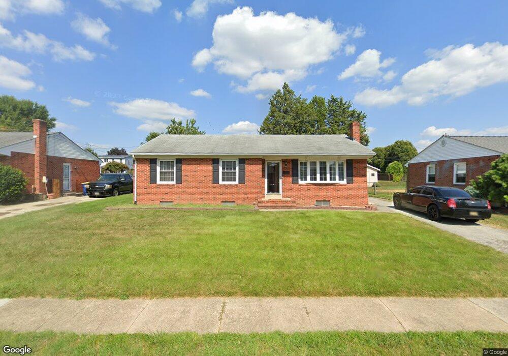
115 Stuyvesant Ave New Castle, DE 19720
Estimated Value: $294,000 - $407,000
3
Beds
2
Baths
1,280
Sq Ft
$278/Sq Ft
Est. Value
About This Home
This home is located at 115 Stuyvesant Ave, New Castle, DE 19720 and is currently estimated at $355,381, approximately $277 per square foot. 115 Stuyvesant Ave is a home located in New Castle County with nearby schools including Castle Hills Elementary School, Calvin R. McCullough Middle School, and St. Peter Catholic School.
Ownership History
Date
Name
Owned For
Owner Type
Purchase Details
Closed on
May 25, 2004
Sold by
Berry Helen M
Bought by
Brewster Thomas L and Rodgers Jennifer L
Current Estimated Value
Home Financials for this Owner
Home Financials are based on the most recent Mortgage that was taken out on this home.
Original Mortgage
$170,000
Interest Rate
5.88%
Mortgage Type
Purchase Money Mortgage
Create a Home Valuation Report for This Property
The Home Valuation Report is an in-depth analysis detailing your home's value as well as a comparison with similar homes in the area
Home Values in the Area
Average Home Value in this Area
Purchase History
| Date | Buyer | Sale Price | Title Company |
|---|---|---|---|
| Brewster Thomas L | $170,000 | -- | |
| Brewster Thomas J | $170,000 | -- |
Source: Public Records
Mortgage History
| Date | Status | Borrower | Loan Amount |
|---|---|---|---|
| Previous Owner | Brewster Thomas J | $170,000 |
Source: Public Records
Tax History Compared to Growth
Tax History
| Year | Tax Paid | Tax Assessment Tax Assessment Total Assessment is a certain percentage of the fair market value that is determined by local assessors to be the total taxable value of land and additions on the property. | Land | Improvement |
|---|---|---|---|---|
| 2024 | $1,582 | $55,100 | $14,800 | $40,300 |
| 2023 | $1,430 | $55,100 | $14,800 | $40,300 |
| 2022 | $1,486 | $55,100 | $14,800 | $40,300 |
| 2021 | $733 | $55,100 | $14,800 | $40,300 |
| 2020 | $733 | $55,100 | $14,800 | $40,300 |
| 2019 | $2,144 | $55,100 | $14,800 | $40,300 |
| 2018 | $1,457 | $55,100 | $14,800 | $40,300 |
| 2017 | $1,362 | $55,100 | $14,800 | $40,300 |
| 2016 | $1,191 | $55,100 | $14,800 | $40,300 |
| 2015 | $1,180 | $55,100 | $14,800 | $40,300 |
| 2014 | $1,192 | $55,100 | $14,800 | $40,300 |
Source: Public Records
Map
Nearby Homes
- 107 Baldt Ave
- 211 Brylgon Ave
- 110 Skelton Dr
- 19 Rivanna Rd
- 11 Holcomb Ln
- 17 Commonwealth Blvd
- 6 Patrick Henry Rd
- 25 Monticello Blvd
- 101 N Katrin Cir
- 0 Chestnut St Unit DENC2088888
- 615 Moores Ln
- 258 E 2nd St
- 66 Arden Ave
- 36 E 5th St
- 132 E 3rd St
- 166 E 2nd St
- 1010 Clayton St
- 14 Lasalle Ave
- 707 Moores Ln
- 33 Pierson Place
- 113 Stuyvesant Ave
- 117 Stuyvesant Ave
- 210 Baldt Ave
- 212 Baldt Ave
- 111 Stuyvesant Ave
- 119 Stuyvesant Ave
- 206 Baldt Ave
- 114 Stuyvesant Ave
- 204 Baldt Ave
- 112 Stuyvesant Ave
- 116 Stuyvesant Ave
- 300 Baldt Ave
- 109 Stuyvesant Ave
- 121 Stuyvesant Ave
- 202 Baldt Ave
- 110 Stuyvesant Ave
- 118 Stuyvesant Ave
- 200 Baldt Ave
- 304 Baldt Ave
- 123 Stuyvesant Ave