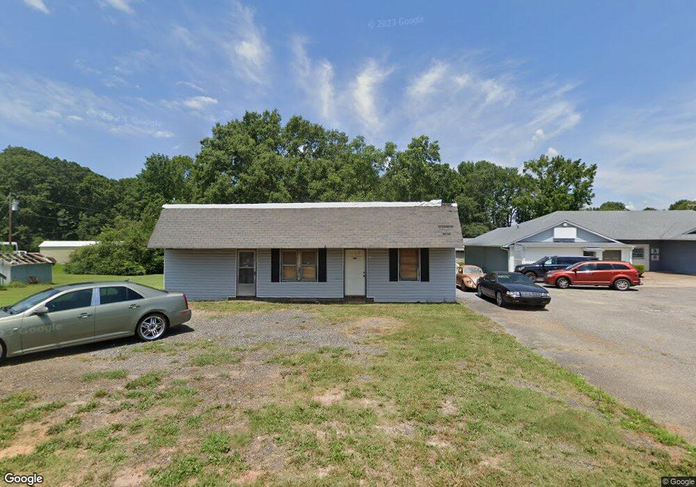
115 Sullivan Ln Anderson, SC 29625
Estimated Value: $69,321
Studio
--
Bath
3,083
Sq Ft
$22/Sq Ft
Est. Value
About This Home
This home is located at 115 Sullivan Ln, Anderson, SC 29625 and is currently estimated at $69,321, approximately $22 per square foot. 115 Sullivan Ln is a home located in Anderson County with nearby schools including Centerville Elementary School, Westside High School, and Anderson Institute of Technology.
Ownership History
Date
Name
Owned For
Owner Type
Purchase Details
Closed on
Nov 23, 2022
Sold by
Walls Ronny
Bought by
Albert Timothy and Albert Tonya
Current Estimated Value
Purchase Details
Closed on
Sep 5, 2017
Sold by
Community First Bank Inc
Bought by
Walls Ronny and Walls Gloria
Purchase Details
Closed on
Sep 19, 2016
Sold by
Hanks Raymond C and Hanks Robyn E
Bought by
Community First Bank Inc
Purchase Details
Closed on
Oct 25, 2013
Sold by
Hanks Raymond C and Hanks Robyn E
Bought by
Jr Properties Llc
Purchase Details
Closed on
May 6, 2010
Sold by
Thomas Ralph O and Thomas James Richard
Bought by
Turner James T
Create a Home Valuation Report for This Property
The Home Valuation Report is an in-depth analysis detailing your home's value as well as a comparison with similar homes in the area
Home Values in the Area
Average Home Value in this Area
Purchase History
| Date | Buyer | Sale Price | Title Company |
|---|---|---|---|
| Albert Timothy | $60,000 | -- | |
| Walls Ronny | $21,200 | None Available | |
| Community First Bank Inc | -- | None Available | |
| Jr Properties Llc | -- | -- | |
| Turner James T | $50,000 | -- |
Source: Public Records
Tax History
| Year | Tax Paid | Tax Assessment Tax Assessment Total Assessment is a certain percentage of the fair market value that is determined by local assessors to be the total taxable value of land and additions on the property. | Land | Improvement |
|---|---|---|---|---|
| 2024 | $1,126 | $3,530 | $1,670 | $1,860 |
| 2023 | $1,131 | $3,530 | $1,670 | $1,860 |
| 2022 | $1,002 | $3,930 | $1,670 | $2,260 |
| 2021 | $911 | $2,800 | $1,160 | $1,640 |
| 2020 | $897 | $2,800 | $1,160 | $1,640 |
| 2019 | $897 | $2,800 | $1,160 | $1,640 |
| 2018 | $885 | $2,800 | $1,160 | $1,640 |
| 2017 | -- | $2,800 | $1,160 | $1,640 |
| 2016 | $833 | $2,690 | $1,050 | $1,640 |
| 2015 | $842 | $2,690 | $1,050 | $1,640 |
| 2014 | $830 | $2,690 | $1,050 | $1,640 |
Source: Public Records
Map
Nearby Homes
- 3212 Dixon Rd
- 185 Norfolk Cir
- 313 Rhodehaven Dr
- 8 Rivanna Dr
- 155 Norfolk Cir
- 1706 Whitehall Rd
- 203 Graceview W
- 104 Lark Ln
- 1035 Drakes Crossing
- 1215 Ravenswood Dr
- 114 Thorncliff Place
- 106 Donhill Rd
- 201 Centerville Rd
- 1400 Pearman Dairy Rd
- 642 Hunters Ln
- 507 Parkwood Dr
- 102 Yorkshire Dr
- 101 Mimosa Ct
- 531 Stone Dr
- 106 Oak Knoll Terrace
- 1506 Whitehall Rd
- 109 Sullivan Ln
- 1508 Whitehall Rd
- 106 Cole Cir
- 3213 Dixon Rd
- 118 Cole Cir
- 1511 Whitehall Rd
- 1510 Whitehall Rd
- 3303 Dixon Rd
- 120 Cole Cir
- 3210 Dixon Rd
- 123 Cole Cir
- 3305 Dixon Rd
- 1512 Whitehall Rd
- 3216 Dixon Rd
- 1514 Whitehall Rd
- 3300 Dixon Rd
- 3309 Dixon Rd
- 129 Cole Cir
- 3302 Dixon Rd
Your Personal Tour Guide
Ask me questions while you tour the home.