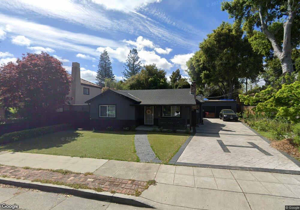
1150 Fife Ave Palo Alto, CA 94301
Crescent Park NeighborhoodEstimated Value: $3,230,000 - $3,900,000
3
Beds
2
Baths
1,476
Sq Ft
$2,461/Sq Ft
Est. Value
About This Home
This home is located at 1150 Fife Ave, Palo Alto, CA 94301 and is currently estimated at $3,632,180, approximately $2,460 per square foot. 1150 Fife Ave is a home located in Santa Clara County with nearby schools including Addison Elementary School, Frank S. Greene Jr. Middle, and Palo Alto High School.
Ownership History
Date
Name
Owned For
Owner Type
Purchase Details
Closed on
Jan 6, 2005
Sold by
Harrison Michael A
Bought by
Harrison Michael
Current Estimated Value
Purchase Details
Closed on
Jul 19, 1994
Sold by
Harrison Delia
Bought by
Harrison Michael A
Home Financials for this Owner
Home Financials are based on the most recent Mortgage that was taken out on this home.
Original Mortgage
$100,000
Interest Rate
8.25%
Purchase Details
Closed on
May 16, 1994
Sold by
Harrison Michael A
Bought by
Harrison Michael A
Create a Home Valuation Report for This Property
The Home Valuation Report is an in-depth analysis detailing your home's value as well as a comparison with similar homes in the area
Home Values in the Area
Average Home Value in this Area
Purchase History
| Date | Buyer | Sale Price | Title Company |
|---|---|---|---|
| Harrison Michael | -- | -- | |
| Harrison Michael A | -- | Old Republic Title Company | |
| Harrison Michael A | -- | -- | |
| Harrison Michael A | -- | -- |
Source: Public Records
Mortgage History
| Date | Status | Borrower | Loan Amount |
|---|---|---|---|
| Closed | Harrison Michael A | $100,000 |
Source: Public Records
Tax History Compared to Growth
Tax History
| Year | Tax Paid | Tax Assessment Tax Assessment Total Assessment is a certain percentage of the fair market value that is determined by local assessors to be the total taxable value of land and additions on the property. | Land | Improvement |
|---|---|---|---|---|
| 2025 | $5,786 | $414,063 | $279,686 | $134,377 |
| 2024 | $5,786 | $405,945 | $274,202 | $131,743 |
| 2023 | $5,697 | $397,986 | $268,826 | $129,160 |
| 2022 | $5,623 | $390,183 | $263,555 | $126,628 |
| 2021 | $5,511 | $382,534 | $258,388 | $124,146 |
| 2020 | $5,413 | $378,613 | $255,739 | $122,874 |
| 2019 | $5,348 | $371,190 | $250,725 | $120,465 |
| 2018 | $5,220 | $363,912 | $245,809 | $118,103 |
| 2017 | $5,127 | $356,778 | $240,990 | $115,788 |
| 2016 | $4,987 | $349,783 | $236,265 | $113,518 |
| 2015 | $4,933 | $344,530 | $232,717 | $111,813 |
| 2014 | $4,748 | $337,782 | $228,159 | $109,623 |
Source: Public Records
Map
Nearby Homes
- 961 Channing Ave
- 1301 Forest Ave
- 1033 Guinda St
- 1101 Hamilton Ave
- 755 Homer Ave
- 20 Kent Place
- 637 Channing Ave
- 671 Kingsley Ave
- 707 Webster St
- 555 Byron St Unit 104
- 1218 Middlefield Rd
- 560 Addison Ave
- 90 Crescent Dr
- 536 Addison Ave
- 1119 Hopkins Ave
- 1049 Woodland Ave
- 759 Cowper St
- 1908 Menalto Ave
- 535 Kingsley Ave
- 447 Homer Ave
- 990 Addison Ave
- 978 Addison Ave
- 1144 Fife Ave
- 972 Addison Ave
- 986 Addison Ave
- 968 Addison Ave
- 991 Addison Ave
- 987 Addison Ave
- 962 Addison Ave
- 981 Addison Ave
- 1170 Fife Ave
- 1084 Fife Ave
- 1119 Fife Ave
- 1111 Fife Ave
- 1101 Fife Ave
- 965 Lincoln Ave
- 958 Addison Ave
- 960 Addison Ave
- 979 Lincoln Ave
- 1174 Fife Ave