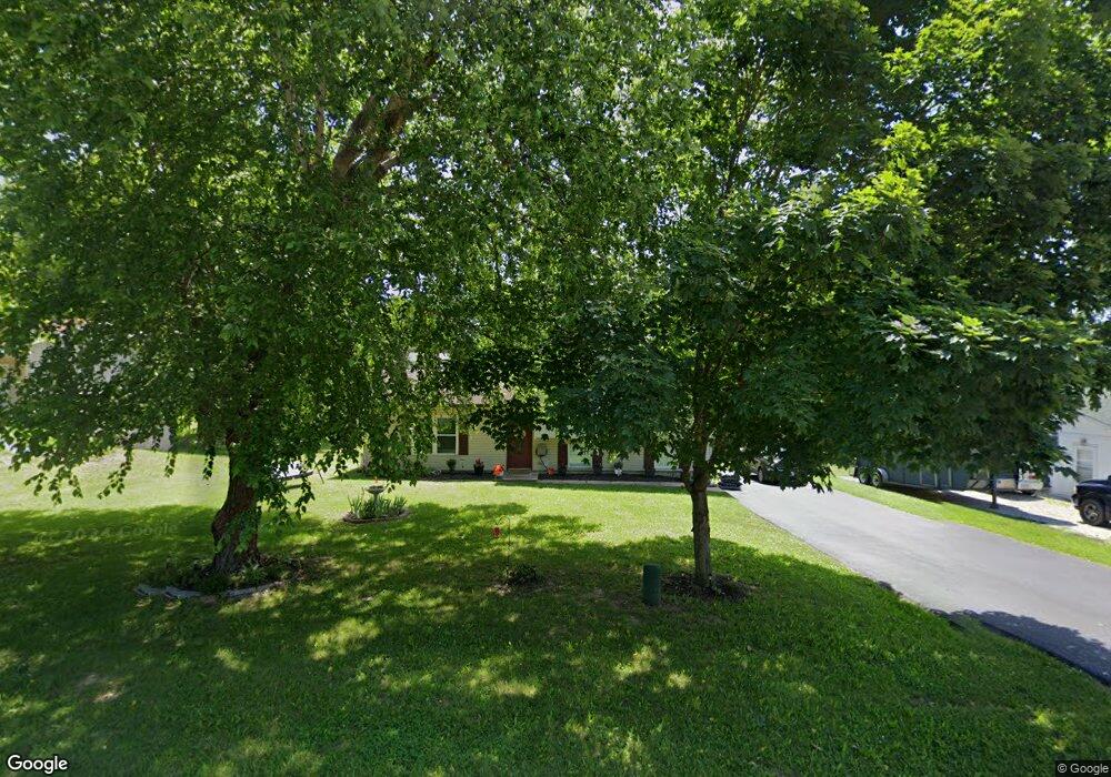
1150 Sycamore Ln Saint Clair, MO 63077
Estimated Value: $130,000 - $193,733
3
Beds
2
Baths
1,012
Sq Ft
$170/Sq Ft
Est. Value
About This Home
This home is located at 1150 Sycamore Ln, Saint Clair, MO 63077 and is currently estimated at $172,244, approximately $170 per square foot. 1150 Sycamore Ln is a home located in Franklin County with nearby schools including St. Clair Elementary School, Edgar Murray Elementary School, and St. Clair Junior High School.
Ownership History
Date
Name
Owned For
Owner Type
Purchase Details
Closed on
Dec 26, 2024
Sold by
Lister John W and Lister Tamara Jo
Bought by
Franklin Financial Corporation
Current Estimated Value
Purchase Details
Closed on
Feb 24, 2023
Sold by
Franklin Financial Corporation
Bought by
Lister John W and Lister Tamara J
Create a Home Valuation Report for This Property
The Home Valuation Report is an in-depth analysis detailing your home's value as well as a comparison with similar homes in the area
Home Values in the Area
Average Home Value in this Area
Purchase History
| Date | Buyer | Sale Price | Title Company |
|---|---|---|---|
| Franklin Financial Corporation | -- | None Listed On Document | |
| Lister John W | -- | None Listed On Document |
Source: Public Records
Mortgage History
| Date | Status | Borrower | Loan Amount |
|---|---|---|---|
| Closed | Lister John W | $0 |
Source: Public Records
Tax History
| Year | Tax Paid | Tax Assessment Tax Assessment Total Assessment is a certain percentage of the fair market value that is determined by local assessors to be the total taxable value of land and additions on the property. | Land | Improvement |
|---|---|---|---|---|
| 2025 | $1,675 | $24,869 | $0 | $0 |
| 2024 | $1,675 | $20,822 | $0 | $0 |
| 2023 | $1,278 | $20,822 | $0 | $0 |
| 2022 | $1,196 | $19,403 | $0 | $0 |
| 2021 | $1,194 | $19,403 | $0 | $0 |
| 2020 | $1,130 | $17,617 | $0 | $0 |
| 2019 | $1,121 | $17,617 | $0 | $0 |
| 2018 | $1,091 | $16,931 | $0 | $0 |
| 2017 | $1,089 | $16,931 | $0 | $0 |
| 2016 | $1,158 | $17,989 | $0 | $0 |
| 2015 | $1,074 | $17,989 | $0 | $0 |
| 2014 | $1,121 | $18,793 | $0 | $0 |
Source: Public Records
Map
Nearby Homes
- 0 Crescent Lake Rd Unit MIS25079528
- 45 E Oak St
- 315 W Oak St
- 235 E Oak St
- 330 Young St
- 325 Iris Ct
- 0 Oak Ridge Dr Unit MIS25078521
- 208 Mosley Ave
- 5 Lots Mosley Ave
- 347 Roller Rd
- 445 Lakeshore Dr
- 322 Cart Path Ln
- 421 Lake Shore Dr
- 555 Mulligan Ct
- 390 Highway Dr
- 605 N Main St
- 0 Gravois Rd Unit 11555468
- 440 Lake Shore Dr
- 111 Wrenwood Dr
- 1638 Neff Rd
- 1160 Sycamore Ln
- 1140 Sycamore Ln
- 1225 Diane St
- 1220 Diane St
- 1170 Sycamore Ln
- 1235 Diane St
- 1230 Diane St
- 1210 Diane St
- 1175 Sycamore Ln
- 1145 Sycamore Ln
- 1185 Sycamore Ln
- 1245 Diane St
- 1240 Diane St
- 125 Diane Ct
- 115 Diane Ct
- 115 Diane Ct
- 1020 S Lay Ave
- 1255 Michelle Dr
- 1245 Michelle Dr
- 1265 Michelle Dr
Your Personal Tour Guide
Ask me questions while you tour the home.