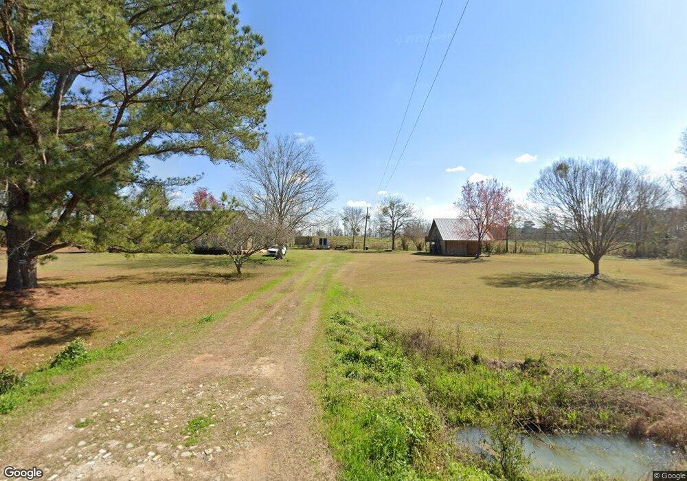
1151 Cook Rd Moultrie, GA 31788
Estimated Value: $179,000 - $256,000
--
Bed
2
Baths
1,623
Sq Ft
$129/Sq Ft
Est. Value
About This Home
This home is located at 1151 Cook Rd, Moultrie, GA 31788 and is currently estimated at $210,111, approximately $129 per square foot. 1151 Cook Rd is a home located in Colquitt County with nearby schools including Odom Elementary School, Willie J. Williams Middle School, and C.A. Gray Junior High School.
Ownership History
Date
Name
Owned For
Owner Type
Purchase Details
Closed on
May 7, 2019
Sold by
Byrd John R
Bought by
Moreno Jonatan and Moreno Roxana
Current Estimated Value
Purchase Details
Closed on
May 26, 2017
Sold by
Avery Macie P
Bought by
Byrd John R
Home Financials for this Owner
Home Financials are based on the most recent Mortgage that was taken out on this home.
Original Mortgage
$71,460
Interest Rate
4.03%
Mortgage Type
New Conventional
Purchase Details
Closed on
Jan 17, 1985
Sold by
Avery Robert S
Bought by
Avery Macie P
Create a Home Valuation Report for This Property
The Home Valuation Report is an in-depth analysis detailing your home's value as well as a comparison with similar homes in the area
Home Values in the Area
Average Home Value in this Area
Purchase History
| Date | Buyer | Sale Price | Title Company |
|---|---|---|---|
| Moreno Jonatan | $75,000 | -- | |
| Byrd John R | $79,400 | -- | |
| Avery Macie P | -- | -- | |
| Avery Robert S | -- | -- |
Source: Public Records
Mortgage History
| Date | Status | Borrower | Loan Amount |
|---|---|---|---|
| Previous Owner | Byrd John R | $71,460 |
Source: Public Records
Tax History Compared to Growth
Tax History
| Year | Tax Paid | Tax Assessment Tax Assessment Total Assessment is a certain percentage of the fair market value that is determined by local assessors to be the total taxable value of land and additions on the property. | Land | Improvement |
|---|---|---|---|---|
| 2024 | $1,246 | $56,271 | $3,728 | $52,543 |
| 2023 | $1,187 | $44,739 | $3,728 | $41,011 |
| 2022 | $957 | $40,172 | $3,314 | $36,858 |
| 2021 | $870 | $35,827 | $3,314 | $32,513 |
| 2020 | $741 | $33,457 | $3,314 | $30,143 |
| 2019 | $727 | $32,692 | $3,314 | $29,378 |
| 2018 | $836 | $32,692 | $3,314 | $29,378 |
| 2017 | $960 | $35,267 | $5,116 | $30,151 |
| 2016 | $973 | $35,267 | $5,116 | $30,151 |
| 2015 | $982 | $35,267 | $5,116 | $30,151 |
| 2014 | $963 | $35,267 | $5,116 | $30,151 |
| 2013 | -- | $35,291 | $5,116 | $30,175 |
Source: Public Records
Map
Nearby Homes
- 0 Upper Trail Unit 913421
- 0 Upper Trail Unit 913422
- 182 Horseshoe Dr
- 2262 Sardis Church Rd
- 277 Indian Creek Subdivision
- 5808 Georgia 133
- 313 Langford St
- 410 Railroad St
- 0 Southerland Ave
- 124 Flint Dr
- 0 Sardis Church Rd
- 1114 Cannon Rd
- 132 Tallokas Trail
- 48 Packer Pride Dr SE
- 65 Packer Pride Dr SE
- 16 Francine Way SE
- 31 31st Ave SE
- 270 Old Timey Trail
- 85 Cobblestone Blvd SE
- 331 Cobblestone Blvd SE
- 1127 Cook Rd
- 1152 Cook Rd
- 1097 Cook Rd
- 1094 Cook Rd
- 1320 Cook Rd
- 2163 Old Berlin Rd
- 2299 Old Berlin Rd
- 1045 Cook Rd
- 1227 Cook Rd
- 1046 Cook Rd
- 2349 Old Berlin Rd
- 2175 Old Berlin Rd
- 2572 Old Berlin Rd
- 148 Avery Rd
- 956 Cook Rd
- 1388 Cook Rd
- 2048 Old Berlin Rd
- 177 Ennis Weathers Rd
- 140 Ennis Weathers Rd
- 126 Ennis Weathers Rd