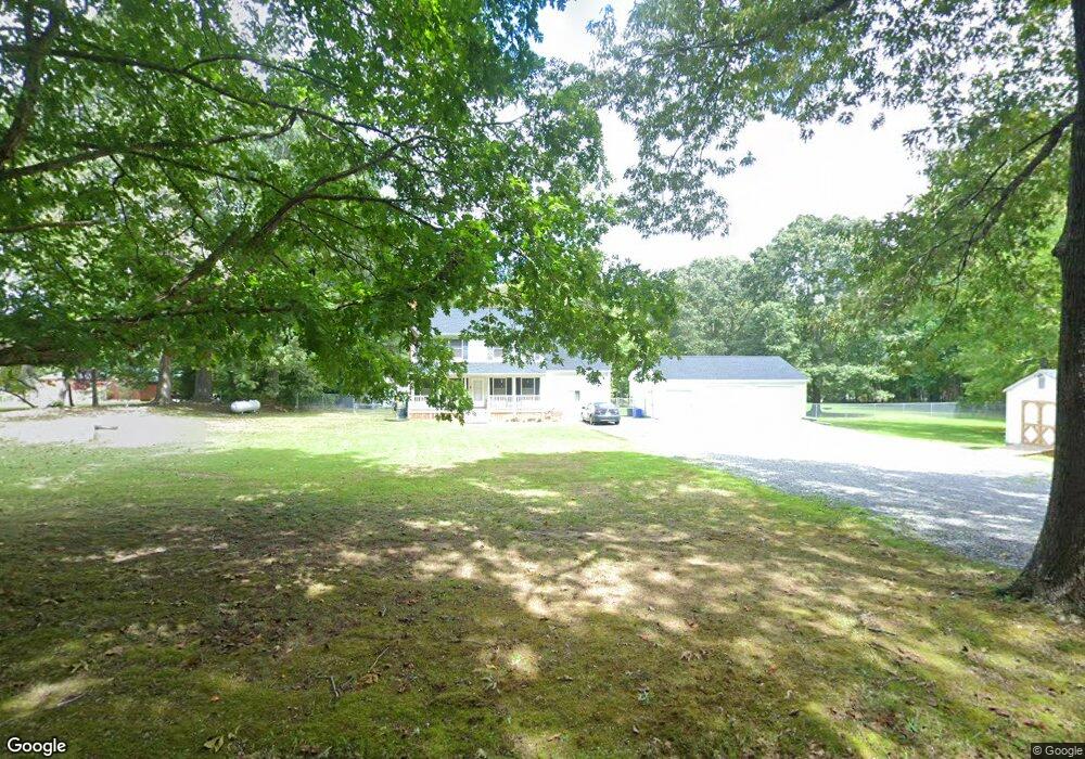
11527 Deep Point Ln Gloucester, VA 23061
Ware Neck NeighborhoodEstimated Value: $406,000 - $450,000
3
Beds
3
Baths
2,160
Sq Ft
$195/Sq Ft
Est. Value
About This Home
This home is located at 11527 Deep Point Ln, Gloucester, VA 23061 and is currently estimated at $420,925, approximately $194 per square foot. 11527 Deep Point Ln is a home located in Gloucester County with nearby schools including Botetourt Elementary School, Peasley Middle School, and Gloucester High School.
Ownership History
Date
Name
Owned For
Owner Type
Purchase Details
Closed on
Aug 1, 2005
Sold by
Vandigriff Susan C
Bought by
Flint Walter W and Stanley Flint Kelly J
Current Estimated Value
Home Financials for this Owner
Home Financials are based on the most recent Mortgage that was taken out on this home.
Original Mortgage
$197,910
Interest Rate
5.78%
Mortgage Type
New Conventional
Create a Home Valuation Report for This Property
The Home Valuation Report is an in-depth analysis detailing your home's value as well as a comparison with similar homes in the area
Home Values in the Area
Average Home Value in this Area
Purchase History
| Date | Buyer | Sale Price | Title Company |
|---|---|---|---|
| Flint Walter W | $219,000 | None Available |
Source: Public Records
Mortgage History
| Date | Status | Borrower | Loan Amount |
|---|---|---|---|
| Previous Owner | Flint Walter W | $197,910 |
Source: Public Records
Tax History
| Year | Tax Paid | Tax Assessment Tax Assessment Total Assessment is a certain percentage of the fair market value that is determined by local assessors to be the total taxable value of land and additions on the property. | Land | Improvement |
|---|---|---|---|---|
| 2025 | $2,003 | $326,290 | $44,600 | $281,690 |
| 2024 | $2,003 | $326,290 | $44,600 | $281,690 |
| 2023 | $1,733 | $297,210 | $44,600 | $252,610 |
| 2022 | $1,642 | $226,520 | $41,140 | $185,380 |
| 2021 | $1,574 | $226,520 | $41,140 | $185,380 |
| 2020 | $1,574 | $226,520 | $41,140 | $185,380 |
| 2019 | $1,515 | $217,940 | $41,140 | $176,800 |
| 2017 | $1,515 | $217,940 | $41,140 | $176,800 |
| 2016 | $1,561 | $224,650 | $41,140 | $183,510 |
| 2015 | $1,528 | $243,800 | $50,500 | $193,300 |
| 2014 | $1,585 | $243,800 | $50,500 | $193,300 |
Source: Public Records
Map
Nearby Homes
- 11802 Deep Point Ln
- 686 Shore Dr
- 262 Columbine Dr
- LOT 2 Riverwatch Dr
- 00 New Upton Farms Ln
- Lot 1 Poplar Dr
- 27 E West Pkwy
- 89 Poplar Dr
- 939 Coachpoint Rd
- 335 Pineview Dr
- 0 Coachpoint Rd
- 37A 4 9 Coachpoint Rd
- 1033 Point Anne Dr
- 101 Pineview Dr
- 563 Coachpoint Rd
- 722 Point Anne Dr
- 50 Ridge Rd Unit 7-E
- 000 Scoggins Creek Trail
- 36B 1 A2 Point Anne Dr
- 000 Point Anne Dr
- 11569 Deep Point Ln
- 12046 Harcum Rd
- 11979 Harcum Rd
- 11671 Deep Point Ln
- 11671 Deep Point Ln Unit LANE
- 12060 Harcum Rd
- 11967 Harcum Rd
- 11597 Deep Point Ln
- 12025 Harcum Rd
- 12072 Harcum Rd
- 11511 Deep Point Ln
- 12047 Harcum Rd
- 11608 Deep Point Ln
- 11701 Deep Point Ln
- 11553 River Crest Dr
- 11628 Deep Point Ln
- 11674 Deep Point Ln
- 11674 Deep Point Ln Unit LN
- 11957 Harcum Rd
- 7404 Granny Valley Rd
Your Personal Tour Guide
Ask me questions while you tour the home.