1155 Fir Ln Eugene, OR 97405
Crest Drive NeighborhoodEstimated Value: $404,000 - $506,000
1
Bed
1
Bath
850
Sq Ft
$531/Sq Ft
Est. Value
About This Home
This home is located at 1155 Fir Ln, Eugene, OR 97405 and is currently estimated at $451,765, approximately $531 per square foot. 1155 Fir Ln is a home located in Lane County with nearby schools including Adams Elementary School, Arts And Technology Academy At Jefferson, and Churchill High School.
Ownership History
Date
Name
Owned For
Owner Type
Purchase Details
Closed on
Mar 23, 2005
Sold by
Seddon Thomas K
Bought by
Seddon Thomas K and Thomas K Seddon Living Trust
Current Estimated Value
Home Financials for this Owner
Home Financials are based on the most recent Mortgage that was taken out on this home.
Original Mortgage
$359,650
Interest Rate
5.61%
Mortgage Type
New Conventional
Purchase Details
Closed on
Mar 16, 2005
Sold by
Seddon Thomas K
Bought by
Seddon Thomas K
Home Financials for this Owner
Home Financials are based on the most recent Mortgage that was taken out on this home.
Original Mortgage
$359,650
Interest Rate
5.61%
Mortgage Type
New Conventional
Create a Home Valuation Report for This Property
The Home Valuation Report is an in-depth analysis detailing your home's value as well as a comparison with similar homes in the area
Home Values in the Area
Average Home Value in this Area
Purchase History
| Date | Buyer | Sale Price | Title Company |
|---|---|---|---|
| Seddon Thomas K | -- | Western Pioneer Title Co | |
| Seddon Thomas K | -- | Western Pioneer Title Co |
Source: Public Records
Mortgage History
| Date | Status | Borrower | Loan Amount |
|---|---|---|---|
| Closed | Seddon Thomas K | $359,650 |
Source: Public Records
Tax History Compared to Growth
Tax History
| Year | Tax Paid | Tax Assessment Tax Assessment Total Assessment is a certain percentage of the fair market value that is determined by local assessors to be the total taxable value of land and additions on the property. | Land | Improvement |
|---|---|---|---|---|
| 2024 | $4,269 | $215,421 | -- | -- |
| 2023 | $4,269 | $209,147 | $0 | $0 |
| 2022 | $4,000 | $203,056 | $0 | $0 |
| 2021 | $3,757 | $197,142 | $0 | $0 |
| 2020 | $3,770 | $191,400 | $0 | $0 |
| 2019 | $3,641 | $185,826 | $0 | $0 |
| 2018 | $3,427 | $175,159 | $0 | $0 |
| 2017 | $3,274 | $175,159 | $0 | $0 |
| 2016 | $3,176 | $170,057 | $0 | $0 |
| 2015 | $3,078 | $165,104 | $0 | $0 |
| 2014 | $3,038 | $160,295 | $0 | $0 |
Source: Public Records
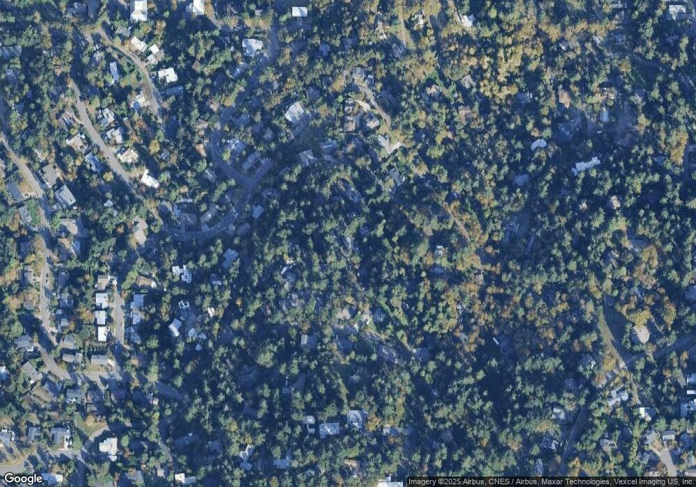
Map
Nearby Homes
- 3160 Whitten Dr
- 3010 Neslo Ln
- 3046 Whitbeck Blvd
- 00 Storey Blvd
- 0 Storey Blvd Unit 653467150
- 879 Shalar Ct
- 0 Mclean Blvd Unit 24671448
- 0 Mclean Blvd Unit 697374759
- 1115 W 28th Ave
- 2765 Almaden St
- 2690 Polk St
- 2755 Malibu Way
- 3854 Monroe St
- 2720 Fillmore St
- 1895 W 28th Ave
- 806 Sundance St
- 435 W 29th Ave
- 1955 W 28th Ave
- 2620 Chambers St
- 3857 Monroe St
- 1118 Lorane Hwy
- 1130 Lorane Hwy
- 1165 Fir Ln
- 1176 Lorane Hwy
- 1125 Lorane Hwy
- 1129 Lorane Hwy
- 1181 Fir Ln
- 3212 Van Buren St
- 1160 Fir Ln
- 1151 Lorane Hwy
- 1215 Fir Ln
- 1187 Fir Ln
- 3097 Whitbeck Blvd
- 1195 Fir Ln
- 3230 Van Buren St
- 3185 Van Buren St
- 1175 Lorane Hwy
- 1163 Lorane Hwy
- 1311 Lorane Hwy
- 3076 Whitbeck Blvd