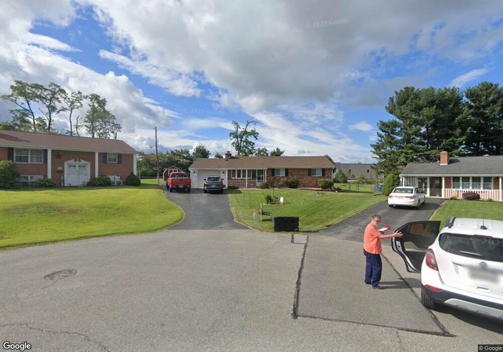
11552 Englewood Rd Hagerstown, MD 21740
Estimated Value: $259,000 - $298,000
--
Bed
1
Bath
984
Sq Ft
$286/Sq Ft
Est. Value
About This Home
This home is located at 11552 Englewood Rd, Hagerstown, MD 21740 and is currently estimated at $281,558, approximately $286 per square foot. 11552 Englewood Rd is a home located in Washington County with nearby schools including Lincolnshire Elementary School, Springfield Middle School, and Williamsport High School.
Ownership History
Date
Name
Owned For
Owner Type
Purchase Details
Closed on
Nov 4, 1998
Sold by
Norris William C and Norris Vicki L
Bought by
Cross Donald L and Cross Angela M
Current Estimated Value
Purchase Details
Closed on
May 16, 1994
Sold by
Harper J D
Bought by
Norris William C
Home Financials for this Owner
Home Financials are based on the most recent Mortgage that was taken out on this home.
Original Mortgage
$84,000
Interest Rate
7.93%
Purchase Details
Closed on
Mar 13, 1987
Sold by
Fogtman Edward A
Bought by
Harper James D
Home Financials for this Owner
Home Financials are based on the most recent Mortgage that was taken out on this home.
Original Mortgage
$70,050
Interest Rate
9.05%
Create a Home Valuation Report for This Property
The Home Valuation Report is an in-depth analysis detailing your home's value as well as a comparison with similar homes in the area
Home Values in the Area
Average Home Value in this Area
Purchase History
| Date | Buyer | Sale Price | Title Company |
|---|---|---|---|
| Cross Donald L | $113,900 | -- | |
| Norris William C | $105,000 | -- | |
| Harper James D | $69,500 | -- |
Source: Public Records
Mortgage History
| Date | Status | Borrower | Loan Amount |
|---|---|---|---|
| Previous Owner | Norris William C | $84,000 | |
| Previous Owner | Harper James D | $70,050 | |
| Closed | Cross Donald L | -- |
Source: Public Records
Tax History Compared to Growth
Tax History
| Year | Tax Paid | Tax Assessment Tax Assessment Total Assessment is a certain percentage of the fair market value that is determined by local assessors to be the total taxable value of land and additions on the property. | Land | Improvement |
|---|---|---|---|---|
| 2025 | $1,863 | $228,800 | $53,900 | $174,900 |
| 2024 | $1,863 | $206,367 | $0 | $0 |
| 2023 | $1,765 | $183,933 | $0 | $0 |
| 2022 | $1,672 | $161,500 | $53,900 | $107,600 |
| 2021 | $1,586 | $155,900 | $0 | $0 |
| 2020 | $1,586 | $150,300 | $0 | $0 |
| 2019 | $1,534 | $144,700 | $53,900 | $90,800 |
| 2018 | $1,534 | $144,700 | $53,900 | $90,800 |
| 2017 | $1,534 | $144,700 | $0 | $0 |
| 2016 | -- | $146,600 | $0 | $0 |
| 2015 | -- | $146,600 | $0 | $0 |
| 2014 | $1,785 | $146,600 | $0 | $0 |
Source: Public Records
Map
Nearby Homes
- 11540 Englewood Rd
- 11525 Englewood Rd
- 17724 Timberlane
- 17721 Timberlane
- 17830 Sherman Ave
- 17832 Virginia Ave
- 11304 Manse Rd
- 1301 Moller Ave
- 1110 Virginia Ave
- 1123 Moller Ave
- Hayden Plan at Virginia Commons
- Deerfield Plan at Virginia Commons
- Neuville Plan at Virginia Commons
- Penwell Plan at Virginia Commons
- 651 Armstrong Ave
- 1235 Moller Ave
- 11217 Hollywood Rd
- 837 Virginia Ave
- 545 Ridge Ave
- 17541 Virginia Ave
- 11550 Englewood Rd
- 11549 Englewood Rd
- 11547 Englewood Rd
- 11546 Englewood Rd
- 11545 Englewood Rd
- 11544 Englewood Rd
- 17828 Burnside Ave
- 11543 Englewood Rd
- 1151 Linwood Rd
- 17826 Burnside Ave
- 11541 Englewood Rd
- 1147 Linwood Rd
- 17822 Burnside Ave
- 17827 Burnside Ave
- 11537 Englewood Rd
- 17825 Burnside Ave
- 17820 Burnside Ave
- 11535 Englewood Rd
- 17821 Burnside Ave
- 11536 Englewood Rd