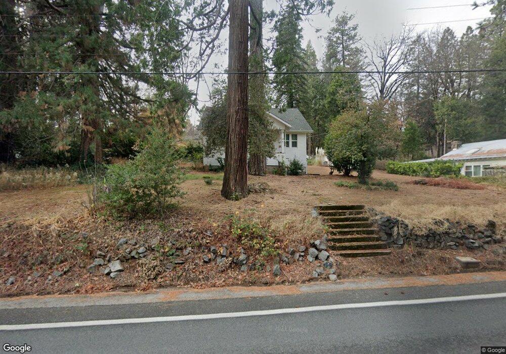
11567 Colfax Hwy Grass Valley, CA 95945
Estimated Value: $380,000 - $456,000
3
Beds
3
Baths
1,352
Sq Ft
$302/Sq Ft
Est. Value
About This Home
This home is located at 11567 Colfax Hwy, Grass Valley, CA 95945 and is currently estimated at $408,345, approximately $302 per square foot. 11567 Colfax Hwy is a home located in Nevada County with nearby schools including Union Hill Elementary School, Grass Valley Charter School, and Mount St. Mary's Academy.
Ownership History
Date
Name
Owned For
Owner Type
Purchase Details
Closed on
Oct 23, 2000
Sold by
Nolan Patrick L
Bought by
Calvary Bible Church
Current Estimated Value
Home Financials for this Owner
Home Financials are based on the most recent Mortgage that was taken out on this home.
Original Mortgage
$112,000
Outstanding Balance
$40,787
Interest Rate
7.9%
Mortgage Type
Seller Take Back
Estimated Equity
$367,558
Create a Home Valuation Report for This Property
The Home Valuation Report is an in-depth analysis detailing your home's value as well as a comparison with similar homes in the area
Home Values in the Area
Average Home Value in this Area
Purchase History
| Date | Buyer | Sale Price | Title Company |
|---|---|---|---|
| Calvary Bible Church | $140,000 | Inter County Title Co |
Source: Public Records
Mortgage History
| Date | Status | Borrower | Loan Amount |
|---|---|---|---|
| Open | Calvary Bible Church | $112,000 |
Source: Public Records
Tax History Compared to Growth
Tax History
| Year | Tax Paid | Tax Assessment Tax Assessment Total Assessment is a certain percentage of the fair market value that is determined by local assessors to be the total taxable value of land and additions on the property. | Land | Improvement |
|---|---|---|---|---|
| 2025 | $2,771 | $232,553 | $60,260 | $172,293 |
| 2024 | $2,714 | $227,994 | $59,079 | $168,915 |
| 2023 | $2,714 | $223,524 | $57,921 | $165,603 |
| 2022 | $2,653 | $219,142 | $56,786 | $162,356 |
| 2021 | $2,570 | $214,846 | $55,673 | $159,173 |
| 2020 | $2,556 | $212,644 | $55,103 | $157,541 |
| 2019 | $2,507 | $208,475 | $54,023 | $154,452 |
| 2018 | $2,454 | $204,388 | $52,964 | $151,424 |
| 2017 | $2,210 | $181,754 | $51,926 | $129,828 |
| 2016 | $2,135 | $178,191 | $50,908 | $127,283 |
| 2015 | $2,106 | $175,516 | $50,144 | $125,372 |
| 2014 | $2,079 | $172,079 | $49,162 | $122,917 |
Source: Public Records
Map
Nearby Homes
- 11684 Sunrise Ln
- 10624 Silver Way
- 13065 Somerset Dr
- 10833 Gold Hill Dr
- 13028 Somerset Dr
- 12968 Somerset Dr
- 10444 Partridge Rd
- 13004 Somerset Dr
- 11070 Brunswick Dr
- 12195-12233 E Bennett Rd
- 11047 Brunswick Dr
- 11355 Brunswick Dr
- 0 Cedar Ridge Dr
- 127 E Empire St
- 322 Empire Ct
- 124 Ironhorse Place
- 12401 Old Mine Rd
- 575 Kate Hayes St
- 12465 New Brunswick Ct
- 12477 New Brunswick Ct