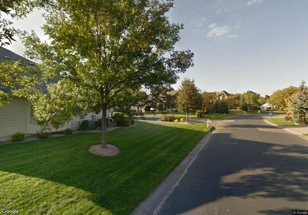
11587 Boulder Ct Maple Grove, MN 55311
Estimated Value: $318,613 - $328,000
3
Beds
1
Bath
1,775
Sq Ft
$183/Sq Ft
Est. Value
About This Home
This home is located at 11587 Boulder Ct, Maple Grove, MN 55311 and is currently estimated at $324,903, approximately $183 per square foot. 11587 Boulder Ct is a home with nearby schools including Hassan Elementary School, Rogers Middle School, and Rogers Senior High School.
Ownership History
Date
Name
Owned For
Owner Type
Purchase Details
Closed on
Mar 26, 2019
Sold by
Us Home Corporation
Bought by
Hedlund Sarah K
Current Estimated Value
Home Financials for this Owner
Home Financials are based on the most recent Mortgage that was taken out on this home.
Original Mortgage
$224,910
Outstanding Balance
$197,331
Interest Rate
4.3%
Mortgage Type
New Conventional
Estimated Equity
$127,572
Purchase Details
Closed on
Mar 12, 2019
Sold by
Us Home Corporation
Bought by
Hedlund Sarah K
Home Financials for this Owner
Home Financials are based on the most recent Mortgage that was taken out on this home.
Original Mortgage
$224,910
Outstanding Balance
$197,331
Interest Rate
4.3%
Mortgage Type
New Conventional
Estimated Equity
$127,572
Purchase Details
Closed on
May 18, 2018
Sold by
U S Home Corporation A
Bought by
Laurel Creek Master Homeowners Associati
Create a Home Valuation Report for This Property
The Home Valuation Report is an in-depth analysis detailing your home's value as well as a comparison with similar homes in the area
Home Values in the Area
Average Home Value in this Area
Purchase History
| Date | Buyer | Sale Price | Title Company |
|---|---|---|---|
| Hedlund Sarah K | $249,991 | None Listed On Document | |
| Hedlund Sarah K | $249,991 | None Available | |
| Laurel Creek Master Homeowners Associati | -- | None Available |
Source: Public Records
Mortgage History
| Date | Status | Borrower | Loan Amount |
|---|---|---|---|
| Open | Hedlund Sarah K | $224,910 | |
| Closed | Hedlund Sarah K | $224,910 |
Source: Public Records
Tax History Compared to Growth
Tax History
| Year | Tax Paid | Tax Assessment Tax Assessment Total Assessment is a certain percentage of the fair market value that is determined by local assessors to be the total taxable value of land and additions on the property. | Land | Improvement |
|---|---|---|---|---|
| 2024 | $4,086 | $322,100 | $20,000 | $302,100 |
| 2023 | $4,161 | $335,600 | $33,000 | $302,600 |
| 2022 | $3,479 | $300,000 | $10,000 | $290,000 |
| 2021 | $3,592 | $260,000 | $10,000 | $250,000 |
| 2020 | $1,767 | $266,000 | $10,000 | $256,000 |
| 2019 | $96 | $138,900 | $10,000 | $128,900 |
| 2018 | -- | $5,800 | $5,800 | $0 |
Source: Public Records
Map
Nearby Homes
- 11500 Brookview Dr
- 19690 116th Ave N
- 11460 Grassland Way
- 18660 Territorial Rd
- 11633 Minnesota Ln N
- XXX Brockton Ln N
- 12117 Malisa Ct
- 20949 Peony Ln
- 21310 Poate Ct
- 12091 Ivy St
- 19337 103rd Ave
- 22441 Olivia Ct
- 12114 Aurora Ave
- 12102 Ivy St
- 22911 Hazel Ln
- 22928 Hazel Ln
- 22141 Harvest Ave
- 21412 Poate Ct
- 21318 Foxtail Ln
- 19674 105th Ave
- 11488 Tamarack Point
- 11574 Woodside Dr N
- 11588 Woodside Dr N
- 11591 Boulder Ct
- 0000 Territorial Rd
- 11584 Woodside Dr
- 11575 Boulder Ct
- 11555 Woodside Dr
- 11640 Forest Ln
- 11624 Forest Ln
- 11576 Woodside Dr
- 11580 Woodside Dr
- 11587 Woodside Dr
- 11583 Woodside Dr
- 11577 Woodside Dr
- 11575 Woodside Dr
- 11571 Woodside Dr
- 11634 Forest Ln
- 11578 Laurel Springs Path
- 11572 Laurel Springs Path