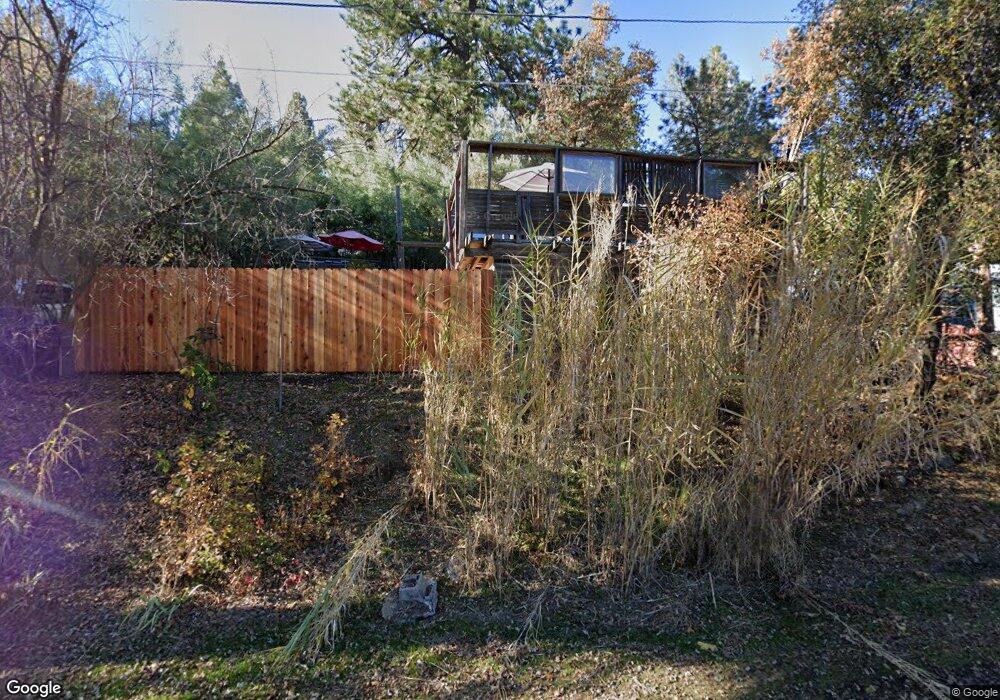
1159 Franklin Ct Placerville, CA 95667
Estimated Value: $306,000 - $331,000
2
Beds
1
Bath
691
Sq Ft
$458/Sq Ft
Est. Value
About This Home
This home is located at 1159 Franklin Ct, Placerville, CA 95667 and is currently estimated at $316,699, approximately $458 per square foot. 1159 Franklin Ct is a home located in El Dorado County with nearby schools including El Dorado High School, Country Day Montessori, and El Dorado Adventist School.
Ownership History
Date
Name
Owned For
Owner Type
Purchase Details
Closed on
Jul 30, 2019
Sold by
Pease Val E
Bought by
Parrish Jesse
Current Estimated Value
Home Financials for this Owner
Home Financials are based on the most recent Mortgage that was taken out on this home.
Original Mortgage
$180,000
Outstanding Balance
$156,609
Interest Rate
3.8%
Mortgage Type
Commercial
Estimated Equity
$160,090
Purchase Details
Closed on
Jun 17, 2014
Sold by
Pease Val E
Bought by
Pease Val E and Val E Pease Revocable Living Trust Of 20
Purchase Details
Closed on
Oct 4, 2000
Sold by
Weidman Thelma R and Pease Thelma R
Bought by
Pease Val E
Home Financials for this Owner
Home Financials are based on the most recent Mortgage that was taken out on this home.
Original Mortgage
$62,000
Interest Rate
8.01%
Create a Home Valuation Report for This Property
The Home Valuation Report is an in-depth analysis detailing your home's value as well as a comparison with similar homes in the area
Home Values in the Area
Average Home Value in this Area
Purchase History
| Date | Buyer | Sale Price | Title Company |
|---|---|---|---|
| Parrish Jesse | $130,000 | Inter Cnty Ttl Co Of Ei Dora | |
| Pease Val E | -- | None Available | |
| Pease Val E | $68,000 | First American Title Ins Co | |
| Weidman Thelma R | -- | First American Title Ins Co |
Source: Public Records
Mortgage History
| Date | Status | Borrower | Loan Amount |
|---|---|---|---|
| Open | Parrish Jesse | $180,000 | |
| Previous Owner | Pease Val E | $62,000 |
Source: Public Records
Tax History
| Year | Tax Paid | Tax Assessment Tax Assessment Total Assessment is a certain percentage of the fair market value that is determined by local assessors to be the total taxable value of land and additions on the property. | Land | Improvement |
|---|---|---|---|---|
| 2025 | $2,231 | $213,256 | $82,021 | $131,235 |
| 2024 | $2,231 | $209,075 | $80,413 | $128,662 |
| 2023 | $2,205 | $204,977 | $78,837 | $126,140 |
| 2022 | $2,175 | $200,959 | $77,292 | $123,667 |
| 2021 | $2,150 | $197,020 | $75,777 | $121,243 |
| 2020 | $2,118 | $195,000 | $75,000 | $120,000 |
| 2019 | $286 | $22,501 | $5,554 | $16,947 |
| 2018 | $279 | $22,061 | $5,446 | $16,615 |
| 2017 | $275 | $21,630 | $5,340 | $16,290 |
| 2016 | $272 | $21,207 | $5,236 | $15,971 |
| 2015 | $261 | $20,890 | $5,158 | $15,732 |
| 2014 | $261 | $20,483 | $5,058 | $15,425 |
Source: Public Records
Map
Nearby Homes
- 2660 Clay St
- 2940 Anderson Way
- 2977 Mosquito Rd
- 2921 Miller Way
- 678 Main St
- 1015 Utah Dr
- 1000 Utah Dr
- 1002 Utah Dr
- 1016 Utah Dr
- 1012 Utah Dr
- 1004 Utah Dr
- 1006 Utah Dr
- 1008 Utah Dr
- 0 Trails End Dr Unit 225117516
- 945 Crawford Drift Ct
- 944 Crawford Drift Ct
- 3095 Cedar Ravine Rd
- 8325 County Rd M44
- 1131 Bush Ct
- 2532 Golden Eagle Dr
- 2634 Clay St
- 2640 Clay St
- 2867 Anderson Way
- 2873 Anderson Way
- 2648 Clay St
- 2631 Clay St
- 2986 Anderson Way
- 2877 Anderson Way
- 2650 Clay St
- 2899 Willow St
- 2903 Willow St
- 2881 Anderson Way
- 0 Franklin Ct
- 2654 Clay St
- 2878 Anderson Way
- 2885 Anderson Way
- 1120 Franklin Ct
- 2895 Willow St
- 2884 Anderson Way
- 2649 Clay St
Your Personal Tour Guide
Ask me questions while you tour the home.