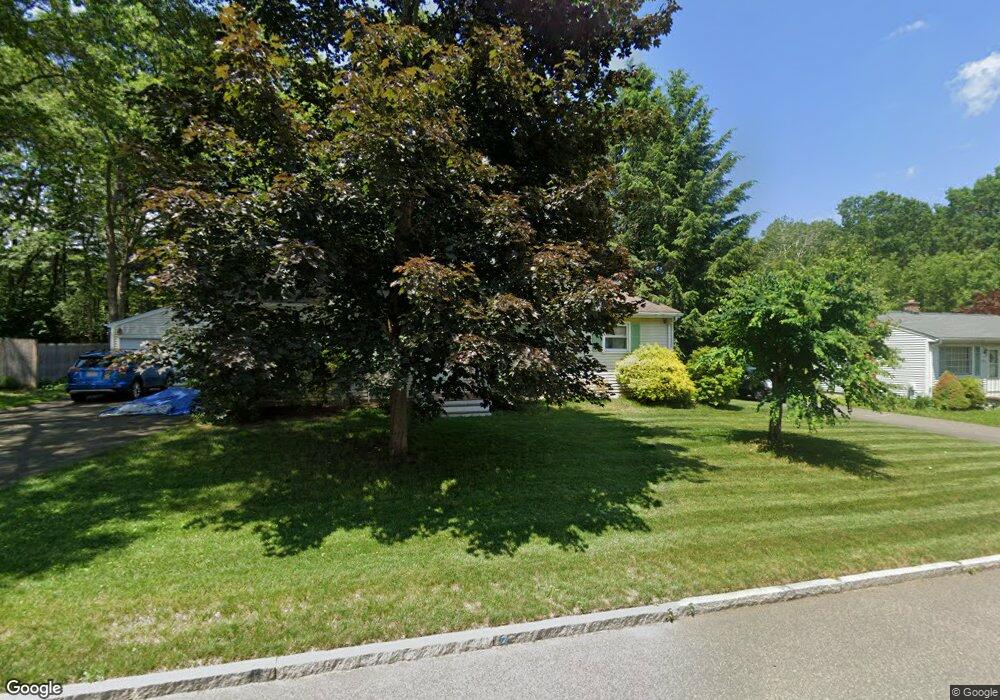
116 Corey Rd Springfield, MA 01128
Sixteen Acres NeighborhoodEstimated Value: $312,000 - $367,000
3
Beds
1
Bath
1,269
Sq Ft
$265/Sq Ft
Est. Value
About This Home
This home is located at 116 Corey Rd, Springfield, MA 01128 and is currently estimated at $336,474, approximately $265 per square foot. 116 Corey Rd is a home located in Hampden County with nearby schools including Daniel B Brunton, M Marcus Kiley Middle, and Springfield High School of Science and Technology.
Ownership History
Date
Name
Owned For
Owner Type
Purchase Details
Closed on
Jul 2, 2003
Sold by
Garrison Mary S
Bought by
Rarogiewicz Christopher R and Rarogiewicz Mary S
Current Estimated Value
Home Financials for this Owner
Home Financials are based on the most recent Mortgage that was taken out on this home.
Original Mortgage
$76,827
Interest Rate
5.46%
Mortgage Type
Purchase Money Mortgage
Purchase Details
Closed on
Oct 11, 1996
Sold by
Roy Raymond R and Roy Noreen F
Bought by
Garrison Brian D and Garrison Mary S
Home Financials for this Owner
Home Financials are based on the most recent Mortgage that was taken out on this home.
Original Mortgage
$84,600
Interest Rate
8.06%
Mortgage Type
Purchase Money Mortgage
Create a Home Valuation Report for This Property
The Home Valuation Report is an in-depth analysis detailing your home's value as well as a comparison with similar homes in the area
Home Values in the Area
Average Home Value in this Area
Purchase History
| Date | Buyer | Sale Price | Title Company |
|---|---|---|---|
| Rarogiewicz Christopher R | -- | -- | |
| Garrison Brian D | $94,000 | -- |
Source: Public Records
Mortgage History
| Date | Status | Borrower | Loan Amount |
|---|---|---|---|
| Open | Garrison Brian D | $60,000 | |
| Closed | Rarogiewicz Christopher R | $76,827 | |
| Previous Owner | Garrison Brian D | $83,500 | |
| Previous Owner | Garrison Brian D | $84,600 |
Source: Public Records
Tax History
| Year | Tax Paid | Tax Assessment Tax Assessment Total Assessment is a certain percentage of the fair market value that is determined by local assessors to be the total taxable value of land and additions on the property. | Land | Improvement |
|---|---|---|---|---|
| 2025 | $4,353 | $277,600 | $62,300 | $215,300 |
| 2024 | $4,261 | $265,300 | $62,300 | $203,000 |
| 2023 | $4,194 | $246,000 | $59,300 | $186,700 |
| 2022 | $3,907 | $207,600 | $62,600 | $145,000 |
| 2021 | $3,786 | $200,300 | $56,900 | $143,400 |
| 2020 | $3,594 | $184,000 | $56,900 | $127,100 |
| 2019 | $3,375 | $171,500 | $56,900 | $114,600 |
| 2018 | $3,328 | $169,100 | $56,900 | $112,200 |
| 2017 | $3,271 | $166,400 | $56,900 | $109,500 |
| 2016 | $3,169 | $161,200 | $56,900 | $104,300 |
| 2015 | $2,988 | $151,900 | $56,900 | $95,000 |
Source: Public Records
Map
Nearby Homes
- 17 Skyridge Ln
- 111 Malibu Dr
- 208 Tamarack Dr
- 25 Angelica Dr
- 55 Allen St
- 228 Acrebrook Rd
- 16 Deerfoot Dr
- 301 Tinkham Rd
- 37 Middlebrook Dr
- 27 Middlebrook Dr
- 0 Apple Blossom Ln
- 1688 S Branch Pkwy
- 1 Conifer Dr
- 60 Jeanne Marie St
- 25 Laurelwood Ln
- 15 Lynwood Rd
- 46 Holland Dr
- 86 Wildwood Ave
- 865 S Branch Pkwy
- 41 Hillside Dr
Your Personal Tour Guide
Ask me questions while you tour the home.