Estimated Value: $394,000 - $522,000
2
Beds
3
Baths
1,577
Sq Ft
$278/Sq Ft
Est. Value
About This Home
This home is located at 116 Cram Rd, Weare, NH 03281 and is currently estimated at $438,176, approximately $277 per square foot. 116 Cram Rd is a home with nearby schools including Center Woods Elementary School, Weare Middle School, and John Stark Regional High School.
Create a Home Valuation Report for This Property
The Home Valuation Report is an in-depth analysis detailing your home's value as well as a comparison with similar homes in the area
Home Values in the Area
Average Home Value in this Area
Tax History
| Year | Tax Paid | Tax Assessment Tax Assessment Total Assessment is a certain percentage of the fair market value that is determined by local assessors to be the total taxable value of land and additions on the property. | Land | Improvement |
|---|---|---|---|---|
| 2025 | $6,297 | $291,000 | $96,000 | $195,000 |
| 2024 | $5,770 | $283,000 | $96,000 | $187,000 |
| 2023 | $5,332 | $283,000 | $96,000 | $187,000 |
| 2022 | $4,924 | $283,000 | $96,000 | $187,000 |
| 2021 | $4,868 | $283,000 | $96,000 | $187,000 |
| 2020 | $4,891 | $204,200 | $78,900 | $125,300 |
| 2019 | $4,842 | $204,200 | $78,900 | $125,300 |
| 2018 | $4,703 | $204,200 | $78,900 | $125,300 |
| 2016 | $4,568 | $204,200 | $78,900 | $125,300 |
| 2015 | $4,473 | $199,600 | $78,700 | $120,900 |
| 2014 | $4,389 | $197,600 | $78,700 | $118,900 |
| 2013 | $4,298 | $197,600 | $78,700 | $118,900 |
Source: Public Records
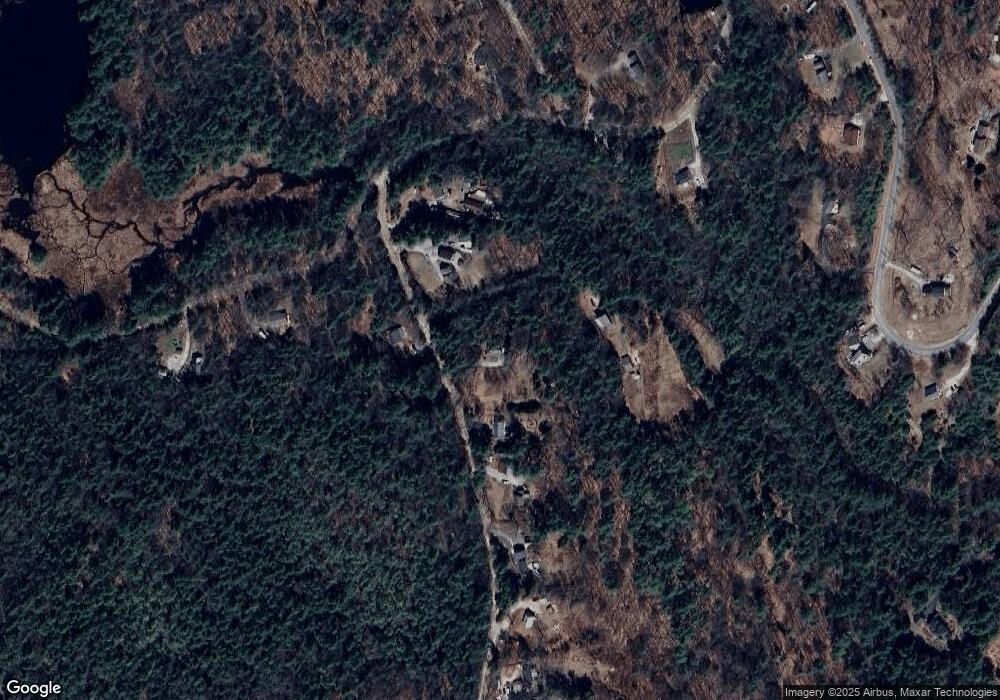
Map
Nearby Homes
- 24 Etta Ln Unit 3
- 15 Peacock Hill Rd
- 133 Hay Hill Rd
- Lot 5 - 77 Poor Farm Rd
- 49 Oak Ridge Rd
- 256 Middle Branch Rd
- 25 Mount Dearborn Rd
- 132 Dustin Tavern Rd
- 733 S Stark Hwy
- 136 Main St
- 815 Dodge Hill Rd
- 3 Old County Rd S
- 624 S Stark Hwy
- 93 Perley Rd
- 103 Renshaw Rd
- 415 Flanders Memorial Rd
- 281 Hodgdon Rd
- 80 Weare Rd
- 34 New Rd
- 93 Daniels Rd
Your Personal Tour Guide
Ask me questions while you tour the home.