Estimated Value: $319,377 - $401,000
1
Bed
1
Bath
871
Sq Ft
$404/Sq Ft
Est. Value
About This Home
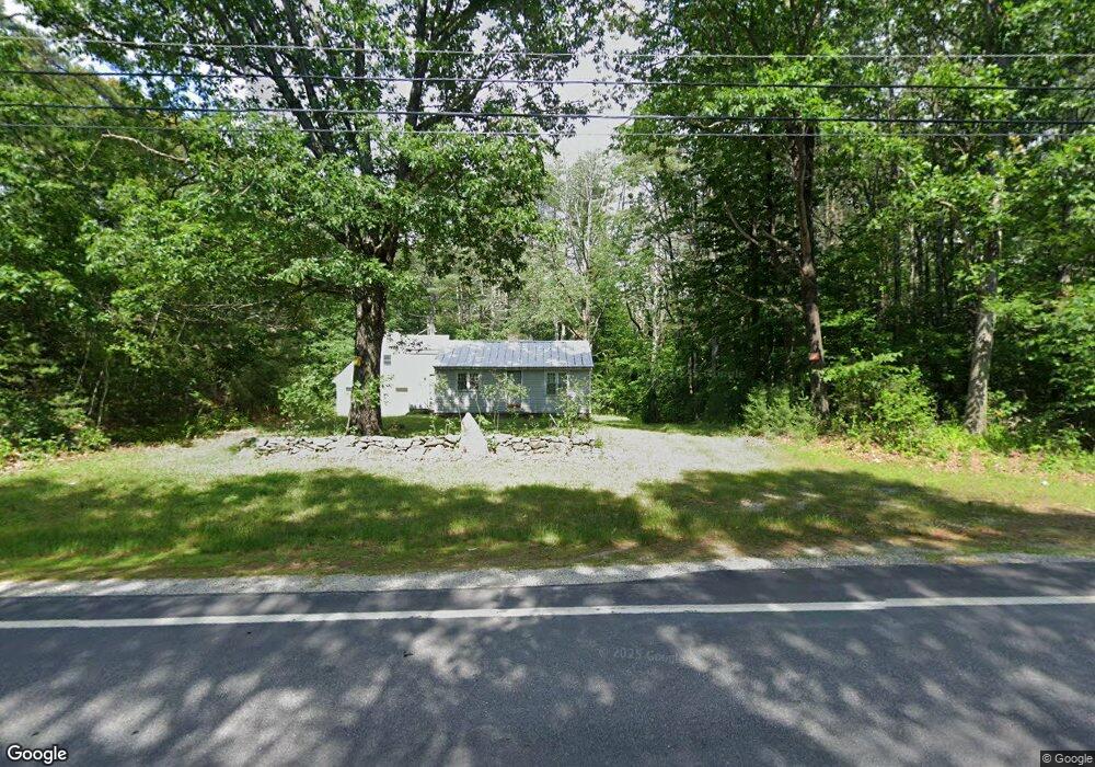
This home is located at 116 Dustin Tavern Rd, Weare, NH 03281 and is currently estimated at $352,126, approximately $404 per square foot. 116 Dustin Tavern Rd is a home with nearby schools including Center Woods Elementary School, Weare Middle School, and John Stark Regional High School.
Create a Home Valuation Report for This Property
The Home Valuation Report is an in-depth analysis detailing your home's value as well as a comparison with similar homes in the area
Home Values in the Area
Average Home Value in this Area
Tax History Compared to Growth
Tax History
| Year | Tax Paid | Tax Assessment Tax Assessment Total Assessment is a certain percentage of the fair market value that is determined by local assessors to be the total taxable value of land and additions on the property. | Land | Improvement |
|---|---|---|---|---|
| 2024 | $4,430 | $217,285 | $100,685 | $116,600 |
| 2023 | $4,097 | $217,448 | $100,848 | $116,600 |
| 2022 | $3,783 | $217,436 | $100,836 | $116,600 |
| 2021 | $3,739 | $217,377 | $100,777 | $116,600 |
| 2020 | $3,839 | $160,297 | $73,097 | $87,200 |
| 2019 | $3,801 | $160,297 | $73,097 | $87,200 |
| 2018 | $3,692 | $160,296 | $73,096 | $87,200 |
| 2016 | $3,585 | $160,260 | $73,060 | $87,200 |
| 2015 | $3,784 | $168,833 | $77,233 | $91,600 |
| 2014 | $3,752 | $168,935 | $77,235 | $91,700 |
| 2013 | $3,674 | $168,915 | $102,515 | $66,400 |
Source: Public Records
Map
Nearby Homes
- 77 Gould Rd
- 179 Oak Hill Rd
- 103 Renshaw Rd
- 450 Weare Rd
- 93 Daniels Rd
- 624 S Stark Hwy
- 95 Wright Dr
- 342 Weare Rd
- 238 Old Francestown Rd
- 174 S Stark Hwy Unit 13
- 174 S Stark Hwy Unit 1
- 174 S Stark Hwy Unit 23
- 196 Deering Center Rd
- 34 Lull Rd
- 200 Mountain Rd
- Lot 1-50-1 Colburn Rd
- 54 Briar Hill Rd
- 252 Clark Hill Rd
- 10 Sap House Rd
- 849 River Rd