116 E Main St Loretto, TN 38469
Estimated Value: $257,000 - $412,000
Studio
2
Baths
1,929
Sq Ft
$166/Sq Ft
Est. Value
About This Home
This home is located at 116 E Main St, Loretto, TN 38469 and is currently estimated at $320,164, approximately $165 per square foot. 116 E Main St is a home located in Lawrence County with nearby schools including South Lawrence Elementary School, Lawrenceburg Public Elementary School, and Ingram Sowell Elementary School.
Ownership History
Date
Name
Owned For
Owner Type
Purchase Details
Closed on
May 16, 2025
Sold by
Methvin Ray E and Methvin Sondra
Bought by
Ray And Sondra Methvin Family Living Trust and Methvin
Current Estimated Value
Purchase Details
Closed on
Oct 11, 1996
Sold by
Smithjoe
Bought by
Littrell Larry A
Purchase Details
Closed on
Jan 1, 1982
Bought by
Osborn Lurline and Osborn Travis
Create a Home Valuation Report for This Property
The Home Valuation Report is an in-depth analysis detailing your home's value as well as a comparison with similar homes in the area
Purchase History
| Date | Buyer | Sale Price | Title Company |
|---|---|---|---|
| Ray And Sondra Methvin Family Living Trust | -- | None Listed On Document | |
| Ray And Sondra Methvin Family Living Trust | -- | None Listed On Document | |
| Littrell Larry A | $90,000 | -- | |
| Osborn Lurline | -- | -- |
Source: Public Records
Tax History
| Year | Tax Paid | Tax Assessment Tax Assessment Total Assessment is a certain percentage of the fair market value that is determined by local assessors to be the total taxable value of land and additions on the property. | Land | Improvement |
|---|---|---|---|---|
| 2025 | $1,799 | $64,025 | $5,950 | $58,075 |
| 2024 | $1,498 | $64,025 | $5,950 | $58,075 |
| 2023 | $1,498 | $64,025 | $5,950 | $58,075 |
| 2022 | $1,498 | $64,025 | $5,950 | $58,075 |
| 2021 | $1,227 | $36,525 | $5,100 | $31,425 |
| 2020 | $1,227 | $36,525 | $5,100 | $31,425 |
| 2019 | $1,227 | $36,525 | $5,100 | $31,425 |
| 2018 | $1,209 | $36,525 | $5,100 | $31,425 |
| 2017 | $1,172 | $36,525 | $5,100 | $31,425 |
| 2016 | $1,172 | $36,525 | $5,100 | $31,425 |
| 2015 | $1,070 | $36,525 | $5,100 | $31,425 |
| 2014 | $1,043 | $35,625 | $5,100 | $30,525 |
Source: Public Records
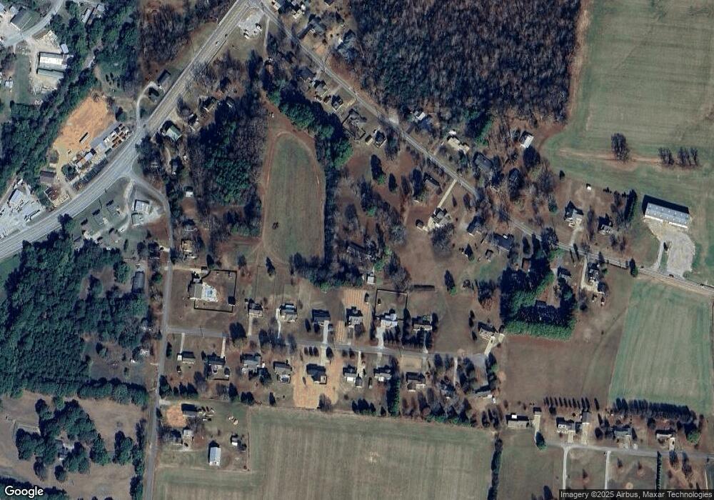
Map
Nearby Homes
- 130 Beartown Rd
- 202 Vine St
- 200 Church St
- 211 Church St
- 411 2nd Ave S
- 456 S Military St
- 518 2nd Ave S
- 205 Dixon Rd E
- 109 2nd Ave N
- 402 W Commerce St
- 119 Horn Ave
- 205 Dixon Branch Rd
- 219 Vine Cir
- 530 S Military St
- 118 Park St
- 412 Eells St
- 110 Kitty Meyer Ln
- 402 N Military St
- 502 N Main St
- 176 Beartown Rd
- 121 Kimberly Dr
- 117 Kimberly Dr
- 125 Kimberly Dr
- 113 Kimberly Dr
- 120 E Main St
- 118 E Main St
- 129 Kimberly Dr
- 109 Kimberly Dr
- 114 E Main St
- 112 Lexington Rd
- 112 Lexington Hwy
- 122 E Main St
- 120 Kimberly Dr
- 112 E Main St
- 116 Kimberly Dr
- 124 Kimberly Dr
- 110 E Main St
- 112 Kimberly Dr
- 115 E Main St
- 124 E Main St
Your Personal Tour Guide
Ask me questions while you tour the home.