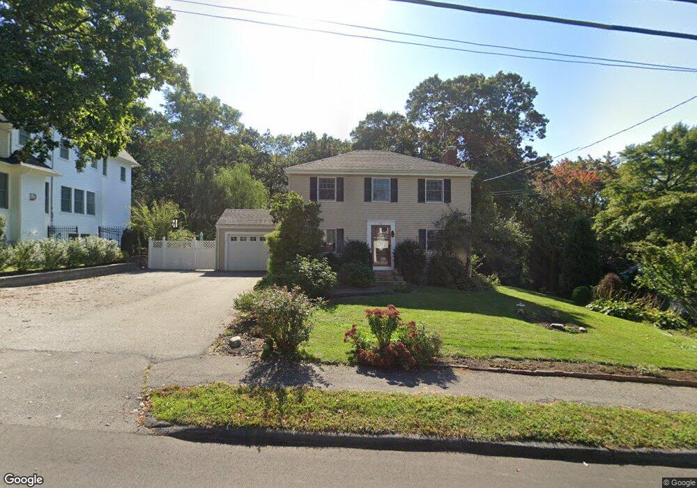
116 Lindbergh Ave Unit 1 Needham Heights, MA 02494
Estimated Value: $1,533,000 - $1,841,000
4
Beds
3
Baths
2,224
Sq Ft
$740/Sq Ft
Est. Value
About This Home
This home is located at 116 Lindbergh Ave Unit 1, Needham Heights, MA 02494 and is currently estimated at $1,645,877, approximately $740 per square foot. 116 Lindbergh Ave Unit 1 is a home located in Norfolk County with nearby schools including Mitchell Elementary School, High Rock Middle School, and Pollard Middle School.
Ownership History
Date
Name
Owned For
Owner Type
Purchase Details
Closed on
Dec 27, 2023
Sold by
Hua Yixin and Xu Ying
Bought by
Xu Ying
Current Estimated Value
Purchase Details
Closed on
Jul 17, 2007
Sold by
Flaherty Michael G
Bought by
Xu Ying and Hua Yixin
Purchase Details
Closed on
Oct 28, 2005
Sold by
Mary A Diblasio Ret and Farie
Bought by
Flaherty Michael G
Create a Home Valuation Report for This Property
The Home Valuation Report is an in-depth analysis detailing your home's value as well as a comparison with similar homes in the area
Home Values in the Area
Average Home Value in this Area
Purchase History
| Date | Buyer | Sale Price | Title Company |
|---|---|---|---|
| Xu Ying | -- | None Available | |
| Xu Ying | -- | None Available | |
| Xu Ying | $829,000 | -- | |
| Xu Ying | $829,000 | -- | |
| Flaherty Michael G | $575,000 | -- | |
| Flaherty Michael G | $575,000 | -- |
Source: Public Records
Mortgage History
| Date | Status | Borrower | Loan Amount |
|---|---|---|---|
| Previous Owner | Flaherty Michael G | $402,000 | |
| Previous Owner | Flaherty Michael G | $417,000 | |
| Previous Owner | Flaherty Michael G | $417,000 |
Source: Public Records
Tax History Compared to Growth
Tax History
| Year | Tax Paid | Tax Assessment Tax Assessment Total Assessment is a certain percentage of the fair market value that is determined by local assessors to be the total taxable value of land and additions on the property. | Land | Improvement |
|---|---|---|---|---|
| 2025 | $13,387 | $1,262,900 | $777,300 | $485,600 |
| 2024 | $13,699 | $1,094,200 | $555,200 | $539,000 |
| 2023 | $13,712 | $1,051,500 | $555,200 | $496,300 |
| 2022 | $12,914 | $965,900 | $487,400 | $478,500 |
| 2021 | $12,586 | $965,900 | $487,400 | $478,500 |
| 2020 | $12,531 | $1,003,300 | $487,400 | $515,900 |
| 2019 | $11,752 | $948,500 | $443,400 | $505,100 |
| 2018 | $11,268 | $948,500 | $443,400 | $505,100 |
| 2017 | $10,608 | $892,200 | $443,400 | $448,800 |
| 2016 | $10,296 | $892,200 | $443,400 | $448,800 |
| 2015 | $10,073 | $892,200 | $443,400 | $448,800 |
| 2014 | $9,781 | $840,300 | $403,400 | $436,900 |
Source: Public Records
Map
Nearby Homes
- 190 Brookline St
- 556 Webster St
- 332 Hillcrest Rd
- 77 High St
- 62 Washington Ave
- 23 Cheney St
- 40 Otis St Unit L
- 9 Jayne Rd
- 42 Otis St Unit R
- 143 Hunting Rd
- 445 Hillside Ave
- 3 Crescent Rd
- 36 Davenport Rd
- 26 Pinewood Rd
- 400 Hunnewell St Unit 103
- 403 Hunnewell St Unit 403
- 132 Hillside Ave
- 379 Hunnewell St Unit 379
- 154 Warren St
- 78 Birds Hill Ave
- 116 Lindbergh Ave
- 108 Lindbergh Ave
- 122 Lindbergh Ave
- 102 Lindbergh Ave
- 117 Lindbergh Ave
- 130 Lindbergh Ave
- 109 Lindbergh Ave
- 103 Lindbergh Ave
- 131 Lindbergh Ave
- 94 Lindbergh Ave
- 76 Donna Rd
- 136 Lindbergh Ave
- 73 Dunster Rd
- 20 James Ave
- 135 Lindbergh Ave
- 75 Donna Rd
- 88 Lindbergh Ave
- 55 Dunster Rd
- 68 Donna Rd
- 14 James Ave