Estimated Value: $427,000 - $489,000
3
Beds
2
Baths
1,460
Sq Ft
$306/Sq Ft
Est. Value
About This Home
This home is located at 116 Old Francestown Rd, Weare, NH 03281 and is currently estimated at $446,866, approximately $306 per square foot. 116 Old Francestown Rd is a home with nearby schools including Center Woods Elementary School, Weare Middle School, and John Stark Regional High School.
Ownership History
Date
Name
Owned For
Owner Type
Purchase Details
Closed on
Oct 18, 2007
Sold by
Earley Eugene L and Earley Sharon L
Bought by
Greenhalge Jonathan
Current Estimated Value
Home Financials for this Owner
Home Financials are based on the most recent Mortgage that was taken out on this home.
Original Mortgage
$129,600
Outstanding Balance
$82,175
Interest Rate
6.51%
Mortgage Type
Purchase Money Mortgage
Estimated Equity
$364,691
Create a Home Valuation Report for This Property
The Home Valuation Report is an in-depth analysis detailing your home's value as well as a comparison with similar homes in the area
Home Values in the Area
Average Home Value in this Area
Purchase History
| Date | Buyer | Sale Price | Title Company |
|---|---|---|---|
| Greenhalge Jonathan | $162,000 | -- |
Source: Public Records
Mortgage History
| Date | Status | Borrower | Loan Amount |
|---|---|---|---|
| Open | Greenhalge Jonathan | $129,600 |
Source: Public Records
Tax History Compared to Growth
Tax History
| Year | Tax Paid | Tax Assessment Tax Assessment Total Assessment is a certain percentage of the fair market value that is determined by local assessors to be the total taxable value of land and additions on the property. | Land | Improvement |
|---|---|---|---|---|
| 2024 | $5,171 | $253,600 | $91,800 | $161,800 |
| 2023 | $4,503 | $239,000 | $91,800 | $147,200 |
| 2022 | $4,159 | $239,000 | $91,800 | $147,200 |
| 2021 | $4,111 | $239,000 | $91,800 | $147,200 |
| 2020 | $4,134 | $172,600 | $64,700 | $107,900 |
| 2019 | $4,092 | $172,600 | $64,700 | $107,900 |
| 2018 | $3,975 | $172,600 | $64,700 | $107,900 |
| 2016 | $3,861 | $172,600 | $64,700 | $107,900 |
| 2015 | $3,794 | $169,300 | $64,700 | $104,600 |
| 2014 | $3,718 | $167,400 | $64,700 | $102,700 |
| 2013 | $3,641 | $167,400 | $64,700 | $102,700 |
Source: Public Records
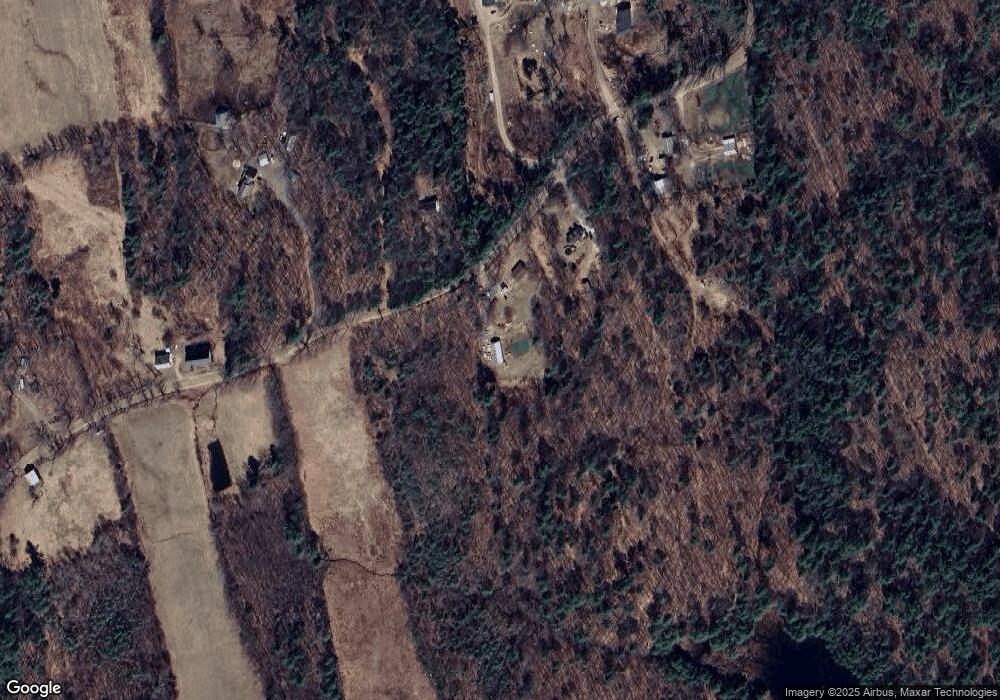
Map
Nearby Homes
- 238 Old Francestown Rd
- 179 Oak Hill Rd
- 200 Mountain Rd
- Lot 1-50-1 Colburn Rd
- 196 Deering Center Rd
- 450 Weare Rd
- 342 Weare Rd
- 103 Renshaw Rd
- 624 S Stark Hwy
- 77 Gould Rd
- 252 Clark Hill Rd
- 95 Wright Dr
- 93 Daniels Rd
- 34 Lull Rd
- 54 Briar Hill Rd
- 133 Hay Hill Rd
- Lot 2 Journeys End Rd
- Lot 3 Journeys End Rd
- 1 Old Coach Rd
- 174 S Stark Hwy Unit 13
- 124 Old Francestown Rd
- 140 Old Francestown Rd
- 56 Old Francestown Rd
- 123 Old Francestown Rd
- 59 Old Francestown Rd
- 147 Old Francestown Rd
- 139 Old Francestown Rd
- 14 Poor Farm Rd
- 196 Old Francestown Rd
- 231 Old Francestown Rd
- 218 Old Francestown Rd
- 198 Old Francestown Rd
- 52 Poor Farm Rd
- 252 Bunker Hill Rd
- 198 Saunders Hill Rd
- 126 Saunders Hill Rd
- 247 Old Francestown Rd
- 244 Old Francestown Rd
- 0 Old Francestown Rd Unit 352 4850936
- 246 Poor Farm Rd