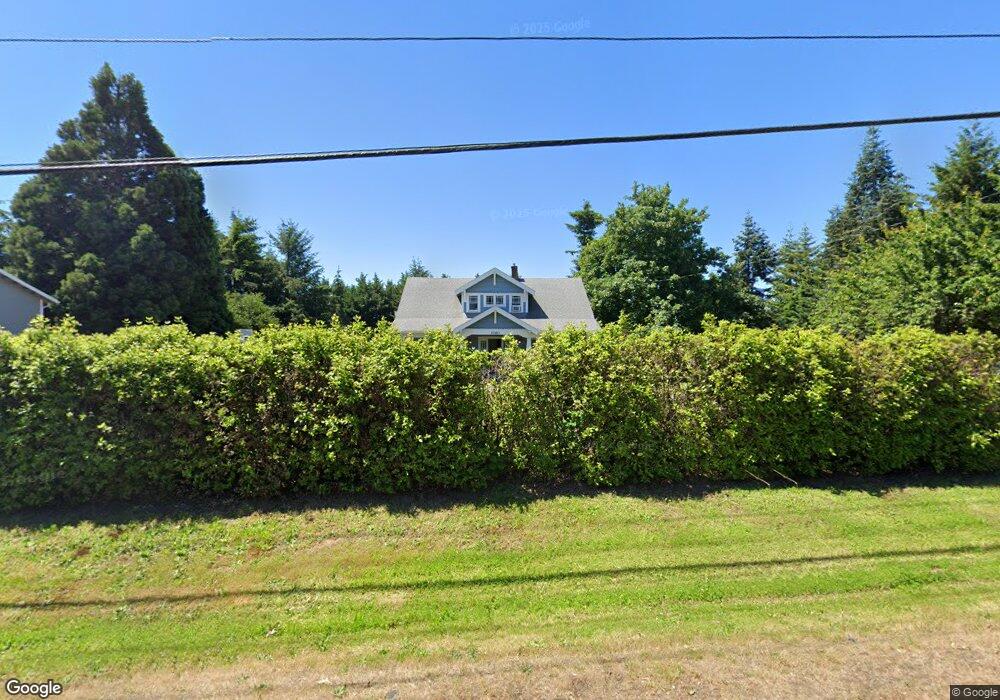
1160 Rosemont Rd West Linn, OR 97068
Parker Crest NeighborhoodEstimated Value: $915,000 - $1,282,000
4
Beds
2
Baths
2,888
Sq Ft
$360/Sq Ft
Est. Value
About This Home
This home is located at 1160 Rosemont Rd, West Linn, OR 97068 and is currently estimated at $1,040,138, approximately $360 per square foot. 1160 Rosemont Rd is a home located in Clackamas County with nearby schools including Trillium Creek Primary School, Rosemont Ridge Middle School, and West Linn High School.
Ownership History
Date
Name
Owned For
Owner Type
Purchase Details
Closed on
Apr 13, 2020
Sold by
Rowe Timothy M and Rowe Kati M
Bought by
Rowe Kati M and Rowe Timothy M
Current Estimated Value
Home Financials for this Owner
Home Financials are based on the most recent Mortgage that was taken out on this home.
Original Mortgage
$467,000
Outstanding Balance
$412,920
Interest Rate
3.3%
Mortgage Type
New Conventional
Estimated Equity
$627,218
Purchase Details
Closed on
May 18, 2016
Sold by
Rowe Timothy M and Rowe Kati M
Bought by
Rowe Timothy M
Purchase Details
Closed on
Jan 27, 2016
Sold by
Mitchell Jon Gregory and Mitchell Kathleen Joy
Bought by
Rowe Kati and Rowe Timothy
Home Financials for this Owner
Home Financials are based on the most recent Mortgage that was taken out on this home.
Original Mortgage
$380,000
Interest Rate
3.94%
Mortgage Type
New Conventional
Purchase Details
Closed on
Nov 21, 2011
Sold by
Mitchell Jon G and Mitchell Kathleen J
Bought by
Mitchell Jon Gregory and Mitchell Kathleen Joy
Create a Home Valuation Report for This Property
The Home Valuation Report is an in-depth analysis detailing your home's value as well as a comparison with similar homes in the area
Home Values in the Area
Average Home Value in this Area
Purchase History
| Date | Buyer | Sale Price | Title Company |
|---|---|---|---|
| Rowe Kati M | -- | Wfg Title | |
| Rowe Timothy M | -- | None Available | |
| Rowe Kati | $475,000 | Wfg Title | |
| Mitchell Jon Gregory | -- | None Available |
Source: Public Records
Mortgage History
| Date | Status | Borrower | Loan Amount |
|---|---|---|---|
| Open | Rowe Kati M | $467,000 | |
| Closed | Rowe Kati | $380,000 |
Source: Public Records
Tax History Compared to Growth
Tax History
| Year | Tax Paid | Tax Assessment Tax Assessment Total Assessment is a certain percentage of the fair market value that is determined by local assessors to be the total taxable value of land and additions on the property. | Land | Improvement |
|---|---|---|---|---|
| 2025 | $8,553 | $473,664 | -- | -- |
| 2024 | $8,234 | $459,868 | -- | -- |
| 2023 | $8,234 | $446,474 | $0 | $0 |
| 2022 | $7,582 | $423,595 | $0 | $0 |
| 2021 | $6,890 | $394,566 | $0 | $0 |
| 2020 | $6,953 | $383,074 | $0 | $0 |
| 2019 | $6,622 | $371,917 | $0 | $0 |
| 2018 | $6,319 | $361,084 | $0 | $0 |
| 2017 | $6,071 | $350,567 | $0 | $0 |
| 2016 | $5,915 | $340,356 | $0 | $0 |
| 2015 | $5,491 | $330,443 | $0 | $0 |
| 2014 | $5,167 | $320,818 | $0 | $0 |
Source: Public Records
Map
Nearby Homes
- 20111 Hoodview Ave
- 2024 Conestoga Ln
- 6135 Cheyenne Terrace
- 20322 Noble Ln
- 20349 Noble Ln
- 5135 Heron Dr
- 6296 Belmont Way
- 6275 Clubhouse Cir
- 4057 Heron Dr
- 22987 Bland Cir
- 6233 Meridian Cir
- 3029 Club House Ct
- 3088 Club House Ct
- 2038 Titan Terrace
- 2450 Bellevue Terrace
- 19874 Bennington Ct
- 2583 Pimlico Dr
- 3496 Chaparrel Loop
- 3296 Nomie Way
- 4050 Serango Ct
- 1180 Rosemont Rd
- 1900 Furlong Dr
- 1156 Rosemont Rd
- 1923 Furlong Dr
- 1935 Furlong Dr
- 1912 Furlong Dr
- 1947 Furlong Dr
- 1951 Furlong Ct
- 1950 Pinto Ct
- 1916 Furlong Dr
- 1928 Furlong Dr
- 1955 Furlong Ct
- 1936 Furlong Dr
- 1945 Pinto Ct
- 1924 Furlong Dr
- 1940 Pinto Ct
- 1920 Furlong Dr
- 1954 Furlong Ct
- 1967 Furlong Ct
- 66103 Canter Ln