1161 Pleasant Point Rd Cushing, ME 04563
Estimated Value: $1,288,000 - $1,607,828
--
Bed
--
Bath
--
Sq Ft
4.46
Acres
About This Home
This home is located at 1161 Pleasant Point Rd, Cushing, ME 04563 and is currently estimated at $1,447,914. 1161 Pleasant Point Rd is a home with nearby schools including Cushing Community School and Oceanside High School East.
Ownership History
Date
Name
Owned For
Owner Type
Purchase Details
Closed on
Dec 11, 2024
Sold by
Townsend Erik S
Bought by
Jones Samantha
Current Estimated Value
Home Financials for this Owner
Home Financials are based on the most recent Mortgage that was taken out on this home.
Original Mortgage
$2,000,000
Outstanding Balance
$1,980,404
Interest Rate
6.72%
Mortgage Type
Purchase Money Mortgage
Estimated Equity
-$532,490
Create a Home Valuation Report for This Property
The Home Valuation Report is an in-depth analysis detailing your home's value as well as a comparison with similar homes in the area
Home Values in the Area
Average Home Value in this Area
Purchase History
| Date | Buyer | Sale Price | Title Company |
|---|---|---|---|
| Jones Samantha | -- | None Available | |
| Jones Samantha | -- | None Available |
Source: Public Records
Mortgage History
| Date | Status | Borrower | Loan Amount |
|---|---|---|---|
| Open | Jones Samantha | $2,000,000 | |
| Closed | Jones Samantha | $2,000,000 |
Source: Public Records
Tax History Compared to Growth
Tax History
| Year | Tax Paid | Tax Assessment Tax Assessment Total Assessment is a certain percentage of the fair market value that is determined by local assessors to be the total taxable value of land and additions on the property. | Land | Improvement |
|---|---|---|---|---|
| 2024 | $14,978 | $1,393,310 | $865,100 | $528,210 |
| 2023 | $17,440 | $1,090,010 | $802,900 | $287,110 |
| 2022 | $16,895 | $1,090,010 | $802,900 | $287,110 |
| 2021 | $17,004 | $1,090,010 | $802,900 | $287,110 |
| 2020 | $17,113 | $1,090,010 | $802,900 | $287,110 |
| 2019 | $15,914 | $1,090,010 | $802,900 | $287,110 |
| 2018 | $0 | $1,046,350 | $802,900 | $243,450 |
| 2017 | $13,603 | $1,046,350 | $802,900 | $243,450 |
| 2016 | $13,603 | $1,046,350 | $802,900 | $243,450 |
| 2015 | $12,870 | $1,046,350 | $802,900 | $243,450 |
| 2014 | $11,824 | $1,046,350 | $802,900 | $243,450 |
Source: Public Records
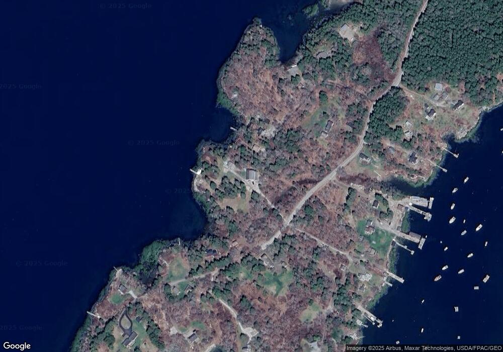
Map
Nearby Homes
- 250 Davis Point Rd
- 28 Orne Ln
- 794 Pleasant Point Rd
- 176 Harbor Rd
- 111 Davis Point Loop
- 127 Harbor Rd
- 23 Cottage Dr
- 79 Glenmere Rd
- 394 Hathorne Point Rd
- 5 Harbor Rd
- 110 Cushing Rd
- 6 Glenmere Rd
- 576 Pleasant Point Rd
- 47 Teel Cove Rd
- M214 L23C1 Autumn Marsh Rd
- 175 Ridge Rd
- 211 Turkey Cove Rd
- 253 Hathorne Point Rd
- 43 Tamarack Ln
- Lot 1 Waldoboro Rd
- 29A Cranberry Ln
- 29 Cranberry Ln
- 1181A Pleasant Point Rd
- 1170 Pleasant Point Rd
- 1181 Pleasant Point Rd
- 17 Cranberry Ln
- 1140 Pleasant Point Rd
- 1188 Pleasant Point Rd
- 16 Barnacle Ln
- 0 Barnacle Ln
- 9 Cranberry Ln
- 11 Cranberry Ln
- 3 Island Ln
- 18 Barnacle Ln
- 0 Gay Island Unit 865831
- 0 Gay Island Unit 836257
- 0 Gay Island Unit 790326
- 0 Gay Island Unit 737712
- 0 Gay Island Unit 571035