11628 N Route 40 Dunlap, IL 61525
North Peoria NeighborhoodEstimated Value: $307,593 - $410,000
3
Beds
2
Baths
2,326
Sq Ft
$147/Sq Ft
Est. Value
About This Home
This home is located at 11628 N Route 40, Dunlap, IL 61525 and is currently estimated at $342,398, approximately $147 per square foot. 11628 N Route 40 is a home located in Peoria County with nearby schools including Banner Elementary School, Dunlap Middle School, and Dunlap High School.
Ownership History
Date
Name
Owned For
Owner Type
Purchase Details
Closed on
Jun 26, 2020
Sold by
Jason Stroh William
Bought by
Bolen Ryan and Bolen Britt
Current Estimated Value
Home Financials for this Owner
Home Financials are based on the most recent Mortgage that was taken out on this home.
Original Mortgage
$210,000
Outstanding Balance
$186,560
Interest Rate
3.2%
Mortgage Type
New Conventional
Estimated Equity
$155,838
Purchase Details
Closed on
Mar 27, 2015
Sold by
Federal Home Loan Mtg Corp
Bought by
Stroh William J
Home Financials for this Owner
Home Financials are based on the most recent Mortgage that was taken out on this home.
Original Mortgage
$177,650
Interest Rate
3.75%
Mortgage Type
New Conventional
Create a Home Valuation Report for This Property
The Home Valuation Report is an in-depth analysis detailing your home's value as well as a comparison with similar homes in the area
Home Values in the Area
Average Home Value in this Area
Purchase History
| Date | Buyer | Sale Price | Title Company |
|---|---|---|---|
| Bolen Ryan | $283,000 | Elias Meginnes & Seghetti Pc | |
| Stroh William J | $187,500 | Peoria Title |
Source: Public Records
Mortgage History
| Date | Status | Borrower | Loan Amount |
|---|---|---|---|
| Open | Bolen Ryan | $210,000 | |
| Previous Owner | Stroh William J | $177,650 |
Source: Public Records
Tax History
| Year | Tax Paid | Tax Assessment Tax Assessment Total Assessment is a certain percentage of the fair market value that is determined by local assessors to be the total taxable value of land and additions on the property. | Land | Improvement |
|---|---|---|---|---|
| 2024 | $4,728 | $72,560 | $11,160 | $61,400 |
| 2023 | $4,498 | $69,110 | $10,630 | $58,480 |
| 2022 | $4,211 | $64,330 | $9,850 | $54,480 |
| 2021 | $4,047 | $61,270 | $9,380 | $51,890 |
| 2020 | $4,036 | $60,670 | $9,290 | $51,380 |
| 2019 | $4,100 | $62,550 | $9,580 | $52,970 |
| 2018 | $4,041 | $62,480 | $9,570 | $52,910 |
| 2017 | $4,217 | $64,420 | $9,870 | $54,550 |
| 2016 | $4,531 | $64,420 | $9,870 | $54,550 |
| 2015 | $4,784 | $62,540 | $9,580 | $52,960 |
| 2014 | $4,721 | $73,460 | $9,460 | $64,000 |
| 2013 | -- | $72,740 | $9,370 | $63,370 |
Source: Public Records
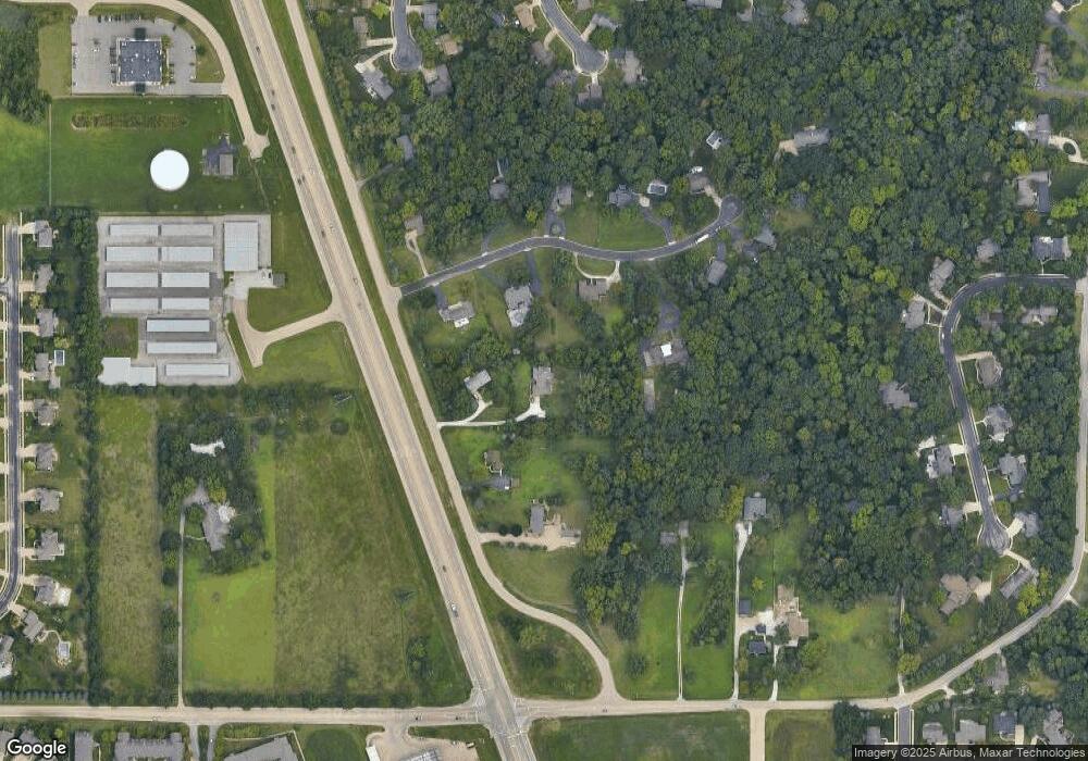
Map
Nearby Homes
- 1205 W Poplar Woods Ct
- 11217 N Oakwood Dr Unit 53
- 11217 N Oakwood Dr Unit 65
- 11018 N Waterton
- 11517 N Brooklyn Place
- 1432 W Grandridge Ct
- 1315 W Wexford Place
- 2331 W Molly Ln
- 2247 W Augusta Dr
- 10717 N Alex Dr
- 2218 W Augusta Dr
- Lot 7 W Augusta Dr
- 10703 N Dana Dr
- 1721 W Geneva Rd
- 511 W Mossville Rd
- 2620 W Arden Way
- 2817 W Lake Trail Ct
- 10422 N North Forest Trail
- 2623 W Stonehenge Ct
- 2520 W Kaylie Ct
- 11628 N 91
- 11628 N State Route 40
- 11628 N Rt 40 None
- 11628 Illinois 40
- 11702 Knoxville Ave
- 11702 State Route 40
- 11702 Illinois 40
- 11610 Illinois 40
- 1504 W Hickory Trace
- 1406 W Hickory Trace
- 1418 W Hickory Trace
- 11602 State Route 40
- 1516 W Hickory Trace
- 1220 N Brentfield Dr
- 1403 W Hickory Grove Rd
- 1330 W Hickory Trace
- 1507 W Hickory Trace
- 1503 W Hickory Trace
- 1519 W Hickory Trace
- 1409 W Hickory Trace
Your Personal Tour Guide
Ask me questions while you tour the home.