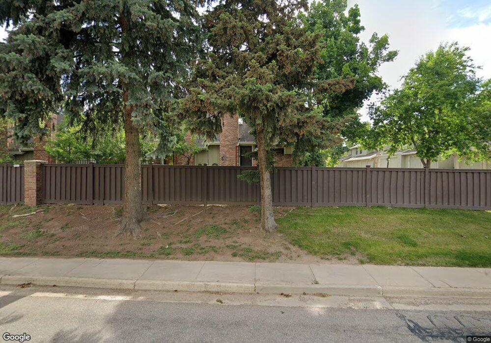
11647 W Elk Head Range Rd Littleton, CO 80127
Estimated Value: $481,000 - $501,000
4
Beds
4
Baths
2,200
Sq Ft
$223/Sq Ft
Est. Value
About This Home
This home is located at 11647 W Elk Head Range Rd, Littleton, CO 80127 and is currently estimated at $491,425, approximately $223 per square foot. 11647 W Elk Head Range Rd is a home located in Jefferson County with nearby schools including Shaffer Elementary School, Falcon Bluffs Middle School, and Chatfield High School.
Ownership History
Date
Name
Owned For
Owner Type
Purchase Details
Closed on
Jul 18, 2005
Sold by
Rawlings Susan Yancey
Bought by
Duerr Edward J and Duerr Kathy L
Current Estimated Value
Purchase Details
Closed on
Dec 5, 2000
Sold by
Braun Gil F
Bought by
Rawlings Susan Yancey
Home Financials for this Owner
Home Financials are based on the most recent Mortgage that was taken out on this home.
Original Mortgage
$76,000
Interest Rate
7.8%
Purchase Details
Closed on
Dec 1, 1994
Sold by
Vinet Craig P and Vinet Evelyn Sue
Bought by
Braun Gil F
Home Financials for this Owner
Home Financials are based on the most recent Mortgage that was taken out on this home.
Original Mortgage
$109,867
Interest Rate
8.99%
Mortgage Type
FHA
Create a Home Valuation Report for This Property
The Home Valuation Report is an in-depth analysis detailing your home's value as well as a comparison with similar homes in the area
Home Values in the Area
Average Home Value in this Area
Purchase History
| Date | Buyer | Sale Price | Title Company |
|---|---|---|---|
| Duerr Edward J | $205,000 | -- | |
| Rawlings Susan Yancey | $194,900 | -- | |
| Braun Gil F | $112,000 | -- |
Source: Public Records
Mortgage History
| Date | Status | Borrower | Loan Amount |
|---|---|---|---|
| Previous Owner | Rawlings Susan Yancey | $76,000 | |
| Previous Owner | Braun Gil F | $109,867 |
Source: Public Records
Tax History Compared to Growth
Tax History
| Year | Tax Paid | Tax Assessment Tax Assessment Total Assessment is a certain percentage of the fair market value that is determined by local assessors to be the total taxable value of land and additions on the property. | Land | Improvement |
|---|---|---|---|---|
| 2024 | $3,060 | $28,579 | $6,030 | $22,549 |
| 2023 | $3,060 | $28,579 | $6,030 | $22,549 |
| 2022 | $2,764 | $25,253 | $4,170 | $21,083 |
| 2021 | $2,807 | $25,980 | $4,290 | $21,690 |
| 2020 | $2,563 | $23,797 | $4,290 | $19,507 |
| 2019 | $2,532 | $23,797 | $4,290 | $19,507 |
| 2018 | $2,347 | $21,301 | $3,600 | $17,701 |
| 2017 | $2,183 | $21,301 | $3,600 | $17,701 |
| 2016 | $2,068 | $19,104 | $3,184 | $15,920 |
| 2015 | $1,808 | $19,104 | $3,184 | $15,920 |
| 2014 | $1,808 | $15,737 | $2,229 | $13,508 |
Source: Public Records
Map
Nearby Homes
- 11673 Elk Head Range Rd
- 11703 Elk Head Range Rd
- 11710 Elk Head Range Rd
- 7646 S Bear Mountain
- 11872 Elk Head Range Rd
- 11235 San Joaquin Ridge
- 7462 S Quail Cir Unit 426
- 8140 S Storm King Peak
- 7454 S Alkire St Unit 301
- 7474 S Alkire St Unit 203
- 11851 Canyon Ave
- 7369 S Gore Range Rd Unit 208
- 7433 S Quail Cir Unit 1924
- 7339 S Gore Range Rd
- 7409 S Alkire St Unit 304
- 7413 S Quail Cir Unit 1422
- 7413 S Quail Cir Unit 1435
- 8196 S Spring Creek Pass
- 7355 S Alkire St Unit 203
- 7825 Sand Mountain
- 11647 Elk Head Range Rd
- 11645 Elk Head Range Rd
- 11643 Elk Head Range Rd
- 11641 Elk Head Range Rd Unit 25
- 11651 Elk Head Range Rd
- 11649 Elk Head Range Rd
- 11653 Elk Head Range Rd
- 11631 Elk Head Range Rd
- 11633 Elk Head Range Rd
- 11635 Elk Head Range Rd
- 11655 Elk Head Range Rd
- 11637 Elk Head Range Rd
- 11657 Elk Head Range Rd
- 11619 Elk Head Range Rd
- 11659 Elk Head Range Rd
- 11617 Elk Head Range Rd
- 11621 Elk Head Range Rd
- 11615 Elk Head Range Rd
- 11623 Elk Head Range Rd
- 11669 Elk Head Range Rd Unit 107