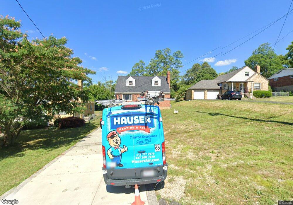
1166 Anderson Ferry Rd Cincinnati, OH 45238
Central Delhi NeighborhoodEstimated Value: $207,455 - $225,000
3
Beds
2
Baths
858
Sq Ft
$255/Sq Ft
Est. Value
About This Home
This home is located at 1166 Anderson Ferry Rd, Cincinnati, OH 45238 and is currently estimated at $218,864, approximately $255 per square foot. 1166 Anderson Ferry Rd is a home located in Hamilton County with nearby schools including C.O. Harrison Elementary School, Rapid Run Middle School, and Oak Hills High School.
Ownership History
Date
Name
Owned For
Owner Type
Purchase Details
Closed on
Apr 13, 2004
Sold by
Dunn Samuel M and Dunn Deborah S
Bought by
Dunn Cassandra S
Current Estimated Value
Home Financials for this Owner
Home Financials are based on the most recent Mortgage that was taken out on this home.
Original Mortgage
$98,320
Interest Rate
4.12%
Mortgage Type
Unknown
Create a Home Valuation Report for This Property
The Home Valuation Report is an in-depth analysis detailing your home's value as well as a comparison with similar homes in the area
Home Values in the Area
Average Home Value in this Area
Purchase History
| Date | Buyer | Sale Price | Title Company |
|---|---|---|---|
| Dunn Cassandra S | $106,000 | -- |
Source: Public Records
Mortgage History
| Date | Status | Borrower | Loan Amount |
|---|---|---|---|
| Closed | Dunn Cassandra S | $98,320 |
Source: Public Records
Tax History Compared to Growth
Tax History
| Year | Tax Paid | Tax Assessment Tax Assessment Total Assessment is a certain percentage of the fair market value that is determined by local assessors to be the total taxable value of land and additions on the property. | Land | Improvement |
|---|---|---|---|---|
| 2024 | $2,971 | $51,153 | $10,759 | $40,394 |
| 2023 | $2,980 | $51,153 | $10,759 | $40,394 |
| 2022 | $2,560 | $39,047 | $9,559 | $29,488 |
| 2021 | $2,507 | $39,047 | $9,559 | $29,488 |
| 2020 | $2,542 | $39,047 | $9,559 | $29,488 |
| 2019 | $2,438 | $33,660 | $8,239 | $25,421 |
| 2018 | $2,441 | $33,660 | $8,239 | $25,421 |
| 2017 | $2,204 | $33,660 | $8,239 | $25,421 |
| 2016 | $2,239 | $34,255 | $8,698 | $25,557 |
| 2015 | $2,242 | $34,255 | $8,698 | $25,557 |
| 2014 | $2,245 | $34,255 | $8,698 | $25,557 |
| 2013 | $2,223 | $36,057 | $9,156 | $26,901 |
Source: Public Records
Map
Nearby Homes
- 5226 Locust St
- 1398 Colonial Dr
- 5140 Willnet Dr
- 5435 Lariat Dr
- 5434 Lariat Dr
- 5229 Rapid Run Rd
- 1136 Betty Ln
- 5260 Ralph Ave
- 1020 Seibel Ln
- 5176 Dundas Dr
- 1650 Colonial Dr
- 5132 Ralph Ave
- 990 Covedale Ave
- 1195 Nancy Lee Ln
- 5009 Relleum Ave
- 5341 Carefree Ct
- 774 Ivyhill Dr
- 4998 Western Hills Ave
- 1418 Covedale Ave
- 5318 Sidney Rd
- 1174 Anderson Ferry Rd
- 1160 Anderson Ferry Rd
- 1184 Anderson Ferry Rd
- 1158 Anderson Ferry Rd
- 1125 Alcliff Ln
- 1121 Alcliff Ln
- 1165 Anderson Ferry Rd
- 1117 Alcliff Ln
- 1173 Anderson Ferry Rd
- 1156 Anderson Ferry Rd
- 1157 Anderson Ferry Rd
- 1129 Alcliff Ln
- 1196 Anderson Ferry Rd
- 1179 Anderson Ferry Rd
- 1113 Alcliff Ln
- 1151 Anderson Ferry Rd
- 1183 Anderson Ferry Rd
- 1109 Alcliff Ln
- 1133 Alcliff Ln
- 1154 Anderson Ferry Rd