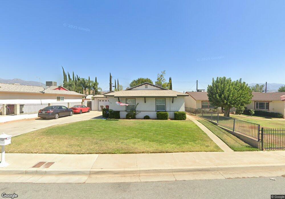
1166 Brinton Ave Banning, CA 92220
Estimated Value: $347,000 - $434,000
4
Beds
2
Baths
1,375
Sq Ft
$291/Sq Ft
Est. Value
About This Home
This home is located at 1166 Brinton Ave, Banning, CA 92220 and is currently estimated at $400,806, approximately $291 per square foot. 1166 Brinton Ave is a home located in Riverside County with nearby schools including Sundance Elementary School, San Gorgonio Middle School, and Beaumont Senior High School.
Ownership History
Date
Name
Owned For
Owner Type
Purchase Details
Closed on
Jan 19, 2016
Sold by
Marquez Andres and Marquez Rogelia
Bought by
Marquez Andres L and Revoc Rogelia
Current Estimated Value
Purchase Details
Closed on
Jul 9, 2013
Sold by
Garland Lane R and Garland Joann
Bought by
Marquez Andres and Marquez Rogelia
Purchase Details
Closed on
Dec 4, 2000
Sold by
Garland Lane R and Garland Joann
Bought by
Garland Lane R and Garland Joann
Create a Home Valuation Report for This Property
The Home Valuation Report is an in-depth analysis detailing your home's value as well as a comparison with similar homes in the area
Home Values in the Area
Average Home Value in this Area
Purchase History
| Date | Buyer | Sale Price | Title Company |
|---|---|---|---|
| Marquez Andres L | -- | None Available | |
| Marquez Andres | $132,000 | None Available | |
| Garland Lane R | -- | -- |
Source: Public Records
Tax History
| Year | Tax Paid | Tax Assessment Tax Assessment Total Assessment is a certain percentage of the fair market value that is determined by local assessors to be the total taxable value of land and additions on the property. | Land | Improvement |
|---|---|---|---|---|
| 2025 | $2,121 | $161,799 | $36,769 | $125,030 |
| 2023 | $2,121 | $155,519 | $35,343 | $120,176 |
| 2022 | $2,089 | $152,470 | $34,650 | $117,820 |
| 2021 | $2,050 | $149,481 | $33,971 | $115,510 |
| 2020 | $2,028 | $147,949 | $33,623 | $114,326 |
| 2019 | $1,997 | $145,049 | $32,964 | $112,085 |
| 2018 | $1,988 | $142,206 | $32,318 | $109,888 |
| 2017 | $1,957 | $139,419 | $31,685 | $107,734 |
| 2016 | $1,905 | $136,686 | $31,064 | $105,622 |
| 2015 | $1,874 | $134,636 | $30,599 | $104,037 |
| 2014 | $1,875 | $132,000 | $30,000 | $102,000 |
Source: Public Records
Map
Nearby Homes
- 1131 Rockcress Ln
- 5130 Larkspur Rd
- 5081 Larkspur Rd
- 1158 Mahogany St
- 1190 Mahogany St
- 1022 Mahogany St
- 959 Rockcress Ln
- 968 Mahogany St
- 2271 Linden Ln
- 5281 Larkspur Rd
- 5270 Verbena Cir
- 1263 Mahogany St
- 5373 Pinedrop Cir
- 5275 Verbena Cir
- 1352 Rockcress Ln
- 5370 Echo Dr
- 1291 Mahogany St
- 5295 Verbena Cir
- 5385 Larkspur Rd
- 5307 Verbena Cir
- 1150 Brinton Ave
- 1184 Brinton Ave
- 1167 Thompson Ave N
- 5036 W Gilman St
- 1132 Brinton Ave
- 1151 Thompson Ave N
- 1151 Brinton Ave
- 1167 Brinton Ave
- 5120 W Gilman St
- 1133 Brinton Ave
- 1116 Brinton Ave
- 1133 Thompson Ave N
- 5073 W Gilman St
- 4068 Cedar Ln
- 5051 W Gilman St
- 5087 W Gilman St
- 1115 Brinton Ave
- 5031 W Gilman St
- 5103 W Gilman St
- 1098 Brinton Ave
Your Personal Tour Guide
Ask me questions while you tour the home.