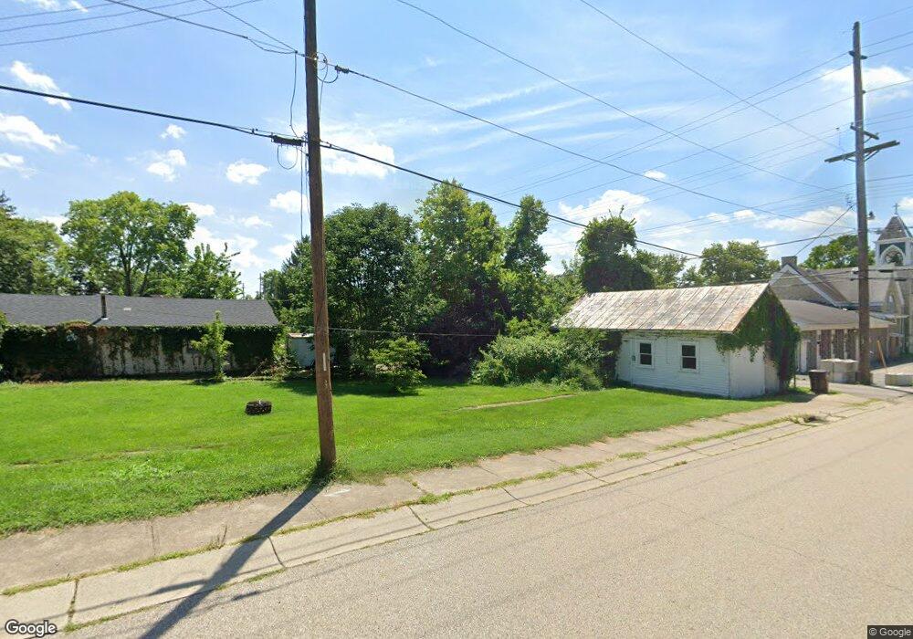
1166 E State Route 73 Unit TWP Springboro, OH 45066
Clearcreek Township NeighborhoodEstimated Value: $418,000 - $643,000
3
Beds
3
Baths
2,199
Sq Ft
$227/Sq Ft
Est. Value
About This Home
This home is located at 1166 E State Route 73 Unit TWP, Springboro, OH 45066 and is currently estimated at $499,399, approximately $227 per square foot. 1166 E State Route 73 Unit TWP is a home located in Warren County with nearby schools including Clearcreek Elementary School, Springboro Intermediate School, and Springboro Junior High School.
Ownership History
Date
Name
Owned For
Owner Type
Purchase Details
Closed on
Feb 12, 2013
Sold by
Wiget Shane C and Wiget Billie J
Bought by
Wiget Shane C and Wiget Billie J
Current Estimated Value
Purchase Details
Closed on
Jul 22, 2003
Sold by
Nells Jerry D
Bought by
Wiget Shane C and Wiget Billie J
Home Financials for this Owner
Home Financials are based on the most recent Mortgage that was taken out on this home.
Original Mortgage
$158,400
Outstanding Balance
$71,945
Interest Rate
5.3%
Mortgage Type
Construction
Estimated Equity
$427,454
Purchase Details
Closed on
Sep 8, 1992
Sold by
Nelis Jerry D and Nelis Jerry D
Bought by
Nelis and Nelis Jerry D
Create a Home Valuation Report for This Property
The Home Valuation Report is an in-depth analysis detailing your home's value as well as a comparison with similar homes in the area
Home Values in the Area
Average Home Value in this Area
Purchase History
| Date | Buyer | Sale Price | Title Company |
|---|---|---|---|
| Wiget Shane C | -- | Aspen Title Agency Inc | |
| Wiget Shane C | $23,500 | Homesite Title Agency Inc | |
| Nelis | -- | -- |
Source: Public Records
Mortgage History
| Date | Status | Borrower | Loan Amount |
|---|---|---|---|
| Open | Wiget Shane C | $158,400 |
Source: Public Records
Tax History Compared to Growth
Tax History
| Year | Tax Paid | Tax Assessment Tax Assessment Total Assessment is a certain percentage of the fair market value that is determined by local assessors to be the total taxable value of land and additions on the property. | Land | Improvement |
|---|---|---|---|---|
| 2024 | $4,762 | $116,770 | $35,790 | $80,980 |
| 2023 | $3,574 | $82,222 | $13,328 | $68,894 |
| 2022 | $3,574 | $82,222 | $13,328 | $68,894 |
| 2021 | $3,364 | $82,222 | $13,328 | $68,894 |
| 2020 | $3,295 | $69,678 | $11,295 | $58,384 |
| 2019 | $3,053 | $69,678 | $11,295 | $58,384 |
| 2018 | $3,044 | $69,678 | $11,295 | $58,384 |
| 2017 | $3,049 | $62,640 | $10,269 | $52,371 |
| 2016 | $3,173 | $62,640 | $10,269 | $52,371 |
| 2015 | $3,002 | $62,640 | $10,269 | $52,371 |
| 2014 | $3,002 | $56,000 | $9,240 | $46,760 |
| 2013 | $3,000 | $68,390 | $11,160 | $57,230 |
Source: Public Records
Map
Nearby Homes
- 7510 Country Brook Ct
- 1744 Harlan Rd
- 8234 Voltaire Ct
- 0 White Cedar Way Unit 1818661
- 7248 Sheffield Way
- 7660 Horizon Hill Dr
- 8533 Silver Oak Ct
- 8590 Shelly Woods Ct
- 7940 Bunnell Hill Rd
- 849 Wind Bluff Point
- 7498 Majestic Trail
- 1009 Highpoint Dr
- 79 White Beech Ct
- 7250 Beaver Brook Dr
- 2814 Station House Way
- 8455 London Ct
- 639 Birchcreek Way
- 7876 Tall Trees Ct
- 6887 Bunnell Hill Rd
- 7476 Waterway Dr
- 1160 E State Route 73
- 1168 E St Rt 73
- 1168 E State Route 73
- 1122 E State Route 73
- 1164 E State Route 73
- 1098 E State Route 73
- 1169 E State Route 73
- 1151 E State Route 73
- 1133 E State Route 73
- 1249 E State Route 73
- 1115 E State Route 73
- 0 Lemay St
- 1097 E State Route 73
- 1136 Nelis Ct
- 1079 E State Route 73
- 1291 E State Route 73
- 1130 Nelis Ct
- 1325 E State Route 73
- 1144 Nelis Ct
- 1094 Nelis Ct