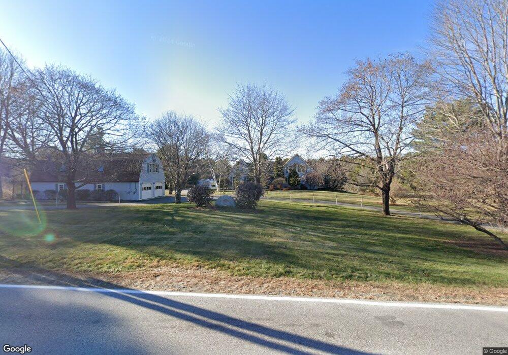
1166 Methodist Rd Westbrook, ME 04092
Estimated Value: $591,000 - $681,000
2
Beds
3
Baths
2,253
Sq Ft
$289/Sq Ft
Est. Value
About This Home
This home is located at 1166 Methodist Rd, Westbrook, ME 04092 and is currently estimated at $650,453, approximately $288 per square foot. 1166 Methodist Rd is a home located in Cumberland County with nearby schools including Westbrook High School.
Ownership History
Date
Name
Owned For
Owner Type
Purchase Details
Closed on
Feb 23, 2018
Sold by
Direnzo Anthony F
Bought by
Direnzo Ft
Current Estimated Value
Purchase Details
Closed on
Oct 29, 2014
Sold by
Direnzo Anthomy F
Bought by
Direnzo Anthomy F
Home Financials for this Owner
Home Financials are based on the most recent Mortgage that was taken out on this home.
Original Mortgage
$328,000
Outstanding Balance
$211,238
Interest Rate
4.21%
Mortgage Type
Unknown
Estimated Equity
$439,215
Purchase Details
Closed on
Apr 16, 2009
Sold by
Direnzo Anthony F
Bought by
Direnzo Anthony F
Home Financials for this Owner
Home Financials are based on the most recent Mortgage that was taken out on this home.
Original Mortgage
$307,500
Interest Rate
5.02%
Mortgage Type
Unknown
Create a Home Valuation Report for This Property
The Home Valuation Report is an in-depth analysis detailing your home's value as well as a comparison with similar homes in the area
Purchase History
| Date | Buyer | Sale Price | Title Company |
|---|---|---|---|
| Direnzo Ft | -- | -- | |
| Direnzo Anthomy F | -- | -- | |
| Direnzo Anthony F | -- | -- |
Source: Public Records
Mortgage History
| Date | Status | Borrower | Loan Amount |
|---|---|---|---|
| Open | Direnzo Anthomy F | $328,000 | |
| Closed | Direnzo Anthony F | $307,500 | |
| Previous Owner | Direnzo Anthony F | $300,000 |
Source: Public Records
Tax History
| Year | Tax Paid | Tax Assessment Tax Assessment Total Assessment is a certain percentage of the fair market value that is determined by local assessors to be the total taxable value of land and additions on the property. | Land | Improvement |
|---|---|---|---|---|
| 2023 | $8,542 | $512,100 | $91,700 | $420,400 |
| 2022 | $7,747 | $428,000 | $76,500 | $351,500 |
| 2021 | $7,631 | $428,000 | $76,500 | $351,500 |
| 2020 | $7,644 | $428,000 | $76,500 | $351,500 |
| 2019 | $7,644 | $428,000 | $76,500 | $351,500 |
| 2018 | $7,186 | $390,100 | $66,600 | $323,500 |
| 2017 | $7,365 | $390,100 | $66,600 | $323,500 |
| 2016 | $7,178 | $390,100 | $66,600 | $323,500 |
| 2015 | $7,006 | $390,100 | $66,600 | $323,500 |
| 2014 | $6,710 | $390,100 | $66,600 | $323,500 |
| 2013 | $6,710 | $390,100 | $66,600 | $323,500 |
Source: Public Records
Map
Nearby Homes
- 214 Duck Pond Rd
- 680 Methodist Rd
- 89 Duck Pond Rd
- 1 Friendly Way (On Land of Nod )
- 10 Land of Nod Rd
- 7 Daybreak Ln Unit 3
- 9 Daybreak Ln Unit 4
- 65 Batchelder Rd
- 99 Land of Nod Rd
- 58 Hardy Rd
- Lot 4 Highland Cliff Rd
- 169 Brook St
- 171 Brook St Unit 49
- 171 Brook St Unit 44
- 171 Brook St Unit 50
- 171 Brook St Unit 3
- 171 Brook St Unit 52
- 171 Brook St Unit 41
- 171 Brook St Unit 47
- 171 Brook St Unit 54
- 1171 Methodist Rd
- 1161 Methodist Rd
- 104 Country Ln
- 90 Country Ln
- 1187 Methodist Rd
- 120 Country Ln
- 1192 Methodist Rd
- 1193 Methodist Rd
- 76 Country Ln
- 117 Country Ln
- 95 Country Ln
- 1194 Methodist Rd
- 22 Mayfield Dr
- 75 Country Ln
- 62 Country Ln
- 20 Mayfield Dr
- 21 Mayfield Dr
- 61 Country Ln
- 18 Mayfield Dr
- 48 Country Ln
Your Personal Tour Guide
Ask me questions while you tour the home.