1167 Gorham Pond Rd Dunbarton, NH 03046
Estimated Value: $615,000 - $739,134
3
Beds
3
Baths
2,418
Sq Ft
$287/Sq Ft
Est. Value
About This Home
This home is located at 1167 Gorham Pond Rd, Dunbarton, NH 03046 and is currently estimated at $694,378, approximately $287 per square foot. 1167 Gorham Pond Rd is a home located in Merrimack County with nearby schools including Dunbarton Elementary School, Bow Memorial School, and Bow High School.
Ownership History
Date
Name
Owned For
Owner Type
Purchase Details
Closed on
Jul 1, 2013
Sold by
Perkins Donald
Bought by
Donald A Perkins Ret and Perkins Donald
Current Estimated Value
Purchase Details
Closed on
Jun 7, 2002
Sold by
Gelinas Gerald and Gelinas Debra
Bought by
Perkins Donald
Create a Home Valuation Report for This Property
The Home Valuation Report is an in-depth analysis detailing your home's value as well as a comparison with similar homes in the area
Home Values in the Area
Average Home Value in this Area
Purchase History
| Date | Buyer | Sale Price | Title Company |
|---|---|---|---|
| Donald A Perkins Ret | -- | -- | |
| Perkins Donald | $45,000 | -- |
Source: Public Records
Mortgage History
| Date | Status | Borrower | Loan Amount |
|---|---|---|---|
| Previous Owner | Perkins Donald | $300,000 |
Source: Public Records
Tax History Compared to Growth
Tax History
| Year | Tax Paid | Tax Assessment Tax Assessment Total Assessment is a certain percentage of the fair market value that is determined by local assessors to be the total taxable value of land and additions on the property. | Land | Improvement |
|---|---|---|---|---|
| 2024 | $11,011 | $417,400 | $106,100 | $311,300 |
| 2023 | $10,673 | $417,400 | $106,100 | $311,300 |
| 2022 | $9,592 | $417,400 | $106,100 | $311,300 |
| 2021 | $9,497 | $405,700 | $106,100 | $299,600 |
| 2020 | $9,039 | $405,700 | $106,100 | $299,600 |
| 2018 | $7,572 | $336,100 | $86,600 | $249,500 |
| 2017 | $8,608 | $336,100 | $86,600 | $249,500 |
| 2016 | $8,060 | $336,100 | $86,600 | $249,500 |
| 2015 | $7,929 | $336,100 | $86,600 | $249,500 |
| 2014 | $6,959 | $329,200 | $86,600 | $242,600 |
| 2013 | $6,916 | $329,200 | $86,600 | $242,600 |
Source: Public Records
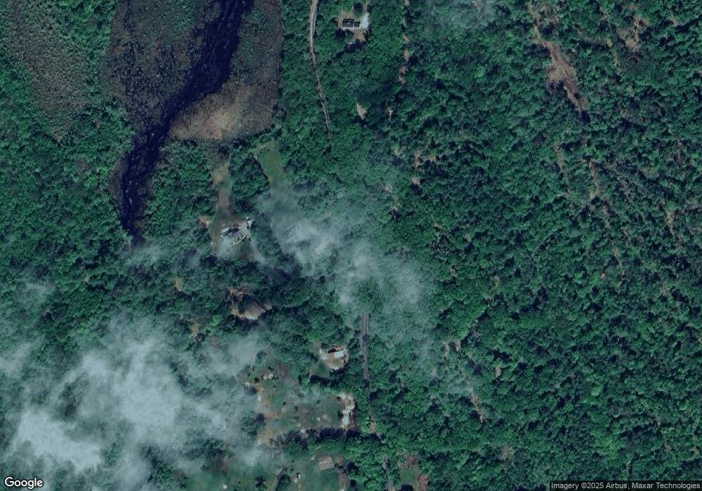
Map
Nearby Homes
- 3 Stephanie Rd
- 22 Fairway Dr
- 0 Fairway Dr Unit 11
- 174 S Stark Hwy Unit 13
- 174 S Stark Hwy Unit 1
- 174 S Stark Hwy Unit 23
- 88 Saunders Rd
- 849 River Rd
- 93 Daniels Rd
- 15 Robert Rogers Rd
- 78 Rangeway Rd
- 1003 School St
- 77 Gould Rd
- 103 Renshaw Rd
- 0 Huntington Hill Rd Unit 69
- 624 S Stark Hwy
- 602 Black Brook Rd
- 16 Palmer Rd
- 25 Pleasant St
- 99 Elm St
- 1169 Gorham Pond Rd
- 1171 Gorham Pond Rd
- 1183 Gorham Pond Rd
- 1140 Gorham Pond Rd
- 1184 Gorham Pond Rd
- 1191 Gorham Pond Rd
- 1141 Gorham Pond Rd
- 1141 Gorham Pond Rd
- 1194 Gorham Pond Rd
- 1207 Gorham Pond Rd
- 26 Karen Rd
- 25 Karen Rd
- 23 Karen Rd
- 22 Karen Rd
- 21 Karen Rd
- 1215 Gorham Pond Rd
- 20 Karen Rd
- 1121 Gorham Pond Rd
- 1119 Gorham Pond Rd
- 7 Gary Rd