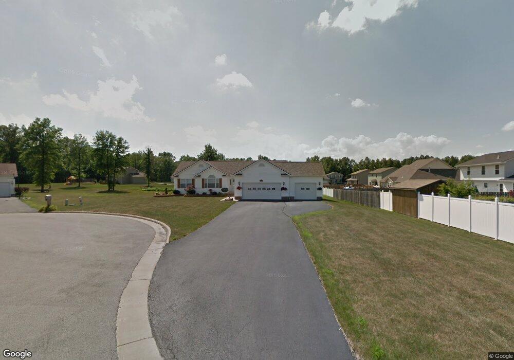
1168 Mulberry Run Mineral Ridge, OH 44440
Austintown NeighborhoodEstimated Value: $275,617 - $287,000
3
Beds
2
Baths
1,486
Sq Ft
$189/Sq Ft
Est. Value
About This Home
This home is located at 1168 Mulberry Run, Mineral Ridge, OH 44440 and is currently estimated at $280,154, approximately $188 per square foot. 1168 Mulberry Run is a home located in Mahoning County with nearby schools including Austintown Elementary School, Austintown Intermediate School, and Austintown Middle School.
Ownership History
Date
Name
Owned For
Owner Type
Purchase Details
Closed on
May 5, 2011
Sold by
Rinko Penny S
Bought by
Rinko Joseph S
Current Estimated Value
Purchase Details
Closed on
Jun 19, 2006
Sold by
Bertelli Homes Inc
Bought by
Rinko Joseph S and Rinko Penny S
Purchase Details
Closed on
Jan 12, 2005
Bought by
Rinko Joseph S
Create a Home Valuation Report for This Property
The Home Valuation Report is an in-depth analysis detailing your home's value as well as a comparison with similar homes in the area
Home Values in the Area
Average Home Value in this Area
Purchase History
| Date | Buyer | Sale Price | Title Company |
|---|---|---|---|
| Rinko Joseph S | -- | Attorney | |
| Rinko Joseph S | $141,000 | None Available | |
| Rinko Joseph S | -- | -- |
Source: Public Records
Tax History Compared to Growth
Tax History
| Year | Tax Paid | Tax Assessment Tax Assessment Total Assessment is a certain percentage of the fair market value that is determined by local assessors to be the total taxable value of land and additions on the property. | Land | Improvement |
|---|---|---|---|---|
| 2024 | $3,174 | $79,150 | $9,830 | $69,320 |
| 2023 | $3,153 | $79,150 | $9,830 | $69,320 |
| 2022 | $2,440 | $52,170 | $9,830 | $42,340 |
| 2021 | $2,441 | $52,170 | $9,830 | $42,340 |
| 2020 | $2,452 | $52,170 | $9,830 | $42,340 |
| 2019 | $2,369 | $46,970 | $9,830 | $37,140 |
| 2018 | $2,279 | $46,970 | $9,830 | $37,140 |
| 2017 | $2,271 | $46,970 | $9,830 | $37,140 |
| 2016 | $2,265 | $46,410 | $9,830 | $36,580 |
| 2015 | $2,196 | $46,410 | $9,830 | $36,580 |
| 2014 | $2,206 | $46,410 | $9,830 | $36,580 |
| 2013 | $2,182 | $46,410 | $9,830 | $36,580 |
Source: Public Records
Map
Nearby Homes
- 5085 Winslow Dr
- 1239 Woodledge Dr
- 0 W Webb Rd
- 1467 E County Line Rd
- 21 E Liberty St
- 1445 E County Line Rd
- 645 Carlin Dr
- 1684 Morris St
- 3872 Main St
- 3907 Edwards St
- 3579 Bee St
- 2169 Salt Springs Rd
- 5231 W Rockwell Rd
- 4028 Lanterman Rd
- 0 W Liberty Unit 5153649
- 4020 Lanterman Rd
- 176 N Canfield Niles Rd
- 6360 Meander Glen Dr
- 159 N Canfield Niles Rd
- 6393 Meander Glen Dr
- 1160 Mulberry Run
- 5091 Cranberry Dr
- 5095 Cranberry Dr
- 5087 Cranberry Dr
- 5125 Cranberry Dr
- 5115 Cranberry Dr
- 5099 Cranberry Dr
- 1169 Mulberry Run
- 5141 Cranberry Dr
- 5103 Cranberry Dr
- 1177 Mulberry Run
- 1161 Mulberry Run
- 1157 Mulberry Run
- 1185 Mulberry Run
- 5092 Cranberry Dr
- 5096 Cranberry Dr
- 5088 Cranberry Dr
- 1193 Mulberry Run
- 5100 Cranberry Dr
- 5144 Cranberry Dr