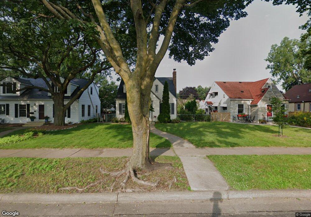
1169 Burnquist St Saint Paul, MN 55106
Payne-Phalen NeighborhoodEstimated Value: $324,000 - $372,136
4
Beds
2
Baths
1,848
Sq Ft
$189/Sq Ft
Est. Value
About This Home
This home is located at 1169 Burnquist St, Saint Paul, MN 55106 and is currently estimated at $350,034, approximately $189 per square foot. 1169 Burnquist St is a home located in Ramsey County with nearby schools including Frost Lake Elementary School, Txuj Ci HMong Language and Culture Upper Campus, and Johnson Senior High School.
Ownership History
Date
Name
Owned For
Owner Type
Purchase Details
Closed on
Jul 13, 2016
Sold by
Halder Stephanie J and Rappath John W
Bought by
Wallgren Michael T and Brahy Kathryn M
Current Estimated Value
Home Financials for this Owner
Home Financials are based on the most recent Mortgage that was taken out on this home.
Original Mortgage
$206,196
Outstanding Balance
$164,713
Interest Rate
3.6%
Mortgage Type
FHA
Estimated Equity
$185,321
Purchase Details
Closed on
Jun 27, 2001
Sold by
Ellis Janet M and Ellis John T
Bought by
Krueger Duff O
Create a Home Valuation Report for This Property
The Home Valuation Report is an in-depth analysis detailing your home's value as well as a comparison with similar homes in the area
Home Values in the Area
Average Home Value in this Area
Purchase History
| Date | Buyer | Sale Price | Title Company |
|---|---|---|---|
| Wallgren Michael T | $221,412 | All American Title Company | |
| Krueger Duff O | $183,000 | -- |
Source: Public Records
Mortgage History
| Date | Status | Borrower | Loan Amount |
|---|---|---|---|
| Open | Wallgren Michael T | $206,196 |
Source: Public Records
Tax History Compared to Growth
Tax History
| Year | Tax Paid | Tax Assessment Tax Assessment Total Assessment is a certain percentage of the fair market value that is determined by local assessors to be the total taxable value of land and additions on the property. | Land | Improvement |
|---|---|---|---|---|
| 2025 | $5,610 | $282,300 | $30,000 | $252,300 |
| 2023 | $5,610 | $286,500 | $20,000 | $266,500 |
| 2022 | $4,802 | $288,600 | $20,000 | $268,600 |
| 2021 | $5,080 | $237,100 | $20,000 | $217,100 |
| 2020 | $3,768 | $260,300 | $12,200 | $248,100 |
| 2019 | $3,592 | $227,800 | $12,200 | $215,600 |
| 2018 | $3,074 | $218,300 | $12,200 | $206,100 |
| 2017 | $2,472 | $195,000 | $12,200 | $182,800 |
| 2016 | $3,346 | $0 | $0 | $0 |
| 2015 | $3,020 | $158,000 | $12,200 | $145,800 |
| 2014 | $3,384 | $0 | $0 | $0 |
Source: Public Records
Map
Nearby Homes
- 1635 Maryland Ave E
- 1114 Lane Place
- 1343 Maryland Ave E
- 1221 Clarence St
- 1229 Clarence St
- 1144 Jenks Ave
- 1377 Clarence St
- 992 Orange Ave E
- 1357 Birmingham St
- 968 Hyacinth Ave E
- 1077 York Ave
- 915 Rose Ave E
- 1331 Stillwater Ave
- 904 Rose Ave E
- 938 Cypress St
- 941 Cypress St
- 904 Jessamine Ave E
- 1450 Arlington Ave E
- 976 Forest St
- 866 Clear Ave E
- 1171 Burnquist St
- 1163 Burnquist St
- 1175 Burnquist St
- 1175 1175 Burnquist-Street-
- 1159 Burnquist St
- 1168 Lane Place
- 1168 1168 Lane-Place-
- 1179 Burnquist St
- 1155 Burnquist St
- 1174 Lane Place
- 1162 Lane Place
- 1158 Lane Place
- 1176 Lane Place
- 1154 Lane Place
- 1185 Burnquist St
- 1151 Burnquist St
- 1182 Lane Place
- 1180 Lane Place
- 1152 Lane Place
- 1152 1152 Lane-Place-