117 Buckeye Branch Rd Morganton, GA 30560
Estimated Value: $244,886 - $618,000
--
Bed
1
Bath
1,356
Sq Ft
$297/Sq Ft
Est. Value
About This Home
This home is located at 117 Buckeye Branch Rd, Morganton, GA 30560 and is currently estimated at $402,472, approximately $296 per square foot. 117 Buckeye Branch Rd is a home located in Fannin County with nearby schools including Fannin County High School.
Ownership History
Date
Name
Owned For
Owner Type
Purchase Details
Closed on
Nov 18, 2016
Sold by
Mcclearen Laurie D
Bought by
Mcclearen James R
Current Estimated Value
Purchase Details
Closed on
Oct 15, 2009
Sold by
Mcclearen James R
Bought by
Mcclearen Laurie D and Laurie D Mcclearen Living Trust
Purchase Details
Closed on
May 1, 2001
Sold by
Conner Betty L
Bought by
Mcclearen James R and Mcclearen Laurie D
Purchase Details
Closed on
Sep 20, 1995
Sold by
Conner Alan L and Conner
Bought by
Conner Betty L
Purchase Details
Closed on
May 13, 1994
Bought by
Conner Betty L and Conner Tal
Purchase Details
Closed on
Sep 9, 1987
Bought by
Conner William P
Create a Home Valuation Report for This Property
The Home Valuation Report is an in-depth analysis detailing your home's value as well as a comparison with similar homes in the area
Home Values in the Area
Average Home Value in this Area
Purchase History
| Date | Buyer | Sale Price | Title Company |
|---|---|---|---|
| Mcclearen James R | -- | -- | |
| Mcclearen Laurie D | -- | -- | |
| Mcclearen James R | $100,000 | -- | |
| Conner Betty L | -- | -- | |
| Conner Betty L | -- | -- | |
| Conner William P | -- | -- |
Source: Public Records
Tax History Compared to Growth
Tax History
| Year | Tax Paid | Tax Assessment Tax Assessment Total Assessment is a certain percentage of the fair market value that is determined by local assessors to be the total taxable value of land and additions on the property. | Land | Improvement |
|---|---|---|---|---|
| 2024 | $731 | $79,714 | $14,560 | $65,154 |
| 2023 | $702 | $68,811 | $14,560 | $54,251 |
| 2022 | $701 | $68,811 | $14,560 | $54,251 |
| 2021 | $666 | $47,488 | $14,560 | $32,928 |
| 2020 | $677 | $47,488 | $14,560 | $32,928 |
| 2019 | $530 | $36,506 | $14,560 | $21,946 |
| 2017 | $529 | $29,893 | $7,209 | $22,684 |
| 2016 | $434 | $25,535 | $7,209 | $18,326 |
Source: Public Records
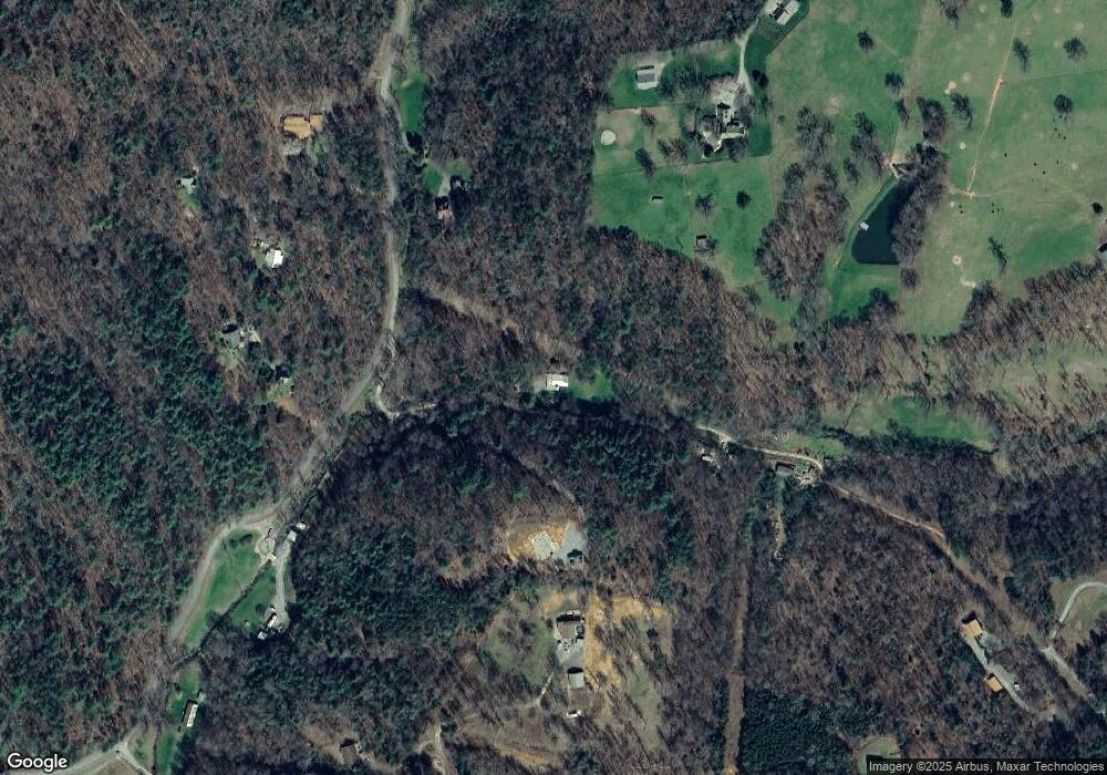
Map
Nearby Homes
- 60 Buckeye Branch Rd
- 79 Stewart Ln
- 177 Mountain Rd
- 185 Mountain Rd
- 158 Mountain Meadows Dr
- 166 Mountain Rd
- 8 Mountain Rd
- Vacant Tipton Springs Rd
- 335 Mountain Rd
- 2351 Old Dial Rd
- 362 Old Dial Rd
- 558 Tipton Springs Rd
- 161 Old Dial Rd
- 2.24 AC Lower Star Creek Rd
- 694 Misty Mountain Trail
- 14576 Morganton Hwy
- 2063 Old Dial Rd
- 60 Buckeye Branch Rd
- 4 Old Dial Rd
- 328 Buckeye Branch Rd
- 79 Stewart Ln
- 1305 Old Dial Rd
- LT 10 Blue Ridge Escape
- 90 Dial Escape Rd
- 1370 Old Dial Rd
- 1581 Old Dial Rd
- 310 Mountain Rd
- 149 Dial Escape Rd
- 1360 Old Dial Rd
- 966 Tipton Springs Rd
- 1197 Old Dial Rd
- 0 Mustang Trail Unit LOT 1 7206439
- 151 Mustang Trail
- 31 Stewart Ln
- 31 Stewart Ln
- 162 Mustang Trail