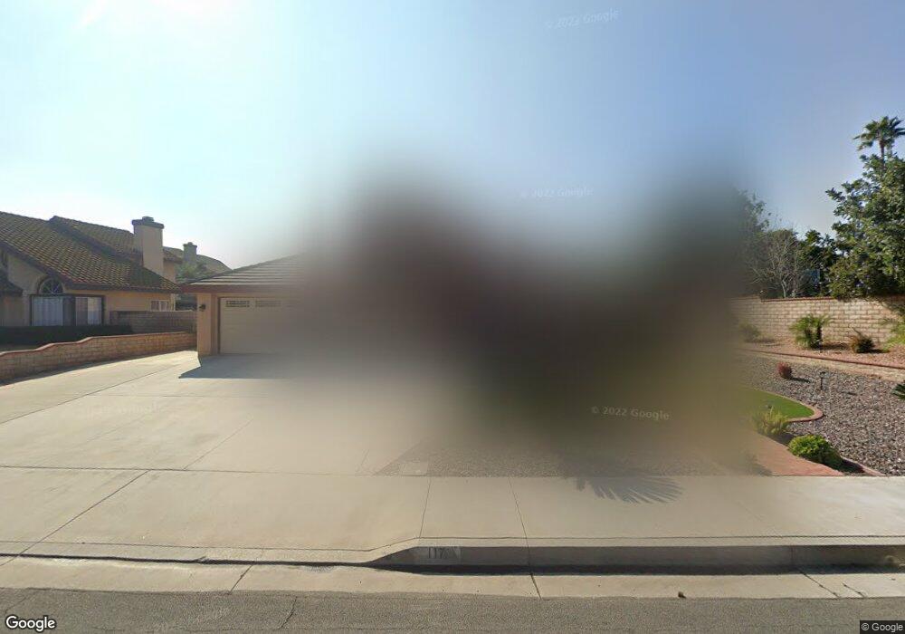
117 Cannon Rd Riverside, CA 92506
Mission Grove NeighborhoodEstimated Value: $675,000 - $830,000
4
Beds
3
Baths
2,224
Sq Ft
$339/Sq Ft
Est. Value
About This Home
This home is located at 117 Cannon Rd, Riverside, CA 92506 and is currently estimated at $753,703, approximately $338 per square foot. 117 Cannon Rd is a home located in Riverside County with nearby schools including William Howard Taft Elementary School, Amelia Earhart Middle School, and Martin Luther King Junior High School.
Ownership History
Date
Name
Owned For
Owner Type
Purchase Details
Closed on
Jul 6, 2025
Sold by
Family Trust Of Benjamin Lungay And Ma L and Lungay Benjamin
Bought by
Ma Luisa And Benjamin Lungay Family Revocable and Lungay
Current Estimated Value
Purchase Details
Closed on
Jun 11, 2007
Sold by
Lungay Benjamin and Lungay Maluisa
Bought by
Lungay Benjamin and Lungay Ma Luisa
Create a Home Valuation Report for This Property
The Home Valuation Report is an in-depth analysis detailing your home's value as well as a comparison with similar homes in the area
Home Values in the Area
Average Home Value in this Area
Purchase History
| Date | Buyer | Sale Price | Title Company |
|---|---|---|---|
| Ma Luisa And Benjamin Lungay Family Revocable | -- | None Listed On Document | |
| Lungay Benjamin | -- | None Available |
Source: Public Records
Tax History
| Year | Tax Paid | Tax Assessment Tax Assessment Total Assessment is a certain percentage of the fair market value that is determined by local assessors to be the total taxable value of land and additions on the property. | Land | Improvement |
|---|---|---|---|---|
| 2025 | $3,232 | $302,230 | $65,654 | $236,576 |
| 2023 | $3,232 | $290,496 | $63,105 | $227,391 |
| 2022 | $3,156 | $284,801 | $61,868 | $222,933 |
| 2021 | $3,121 | $279,217 | $60,655 | $218,562 |
| 2020 | $3,097 | $276,355 | $60,034 | $216,321 |
| 2019 | $3,037 | $270,937 | $58,857 | $212,080 |
| 2018 | $2,977 | $265,625 | $57,704 | $207,921 |
| 2017 | $2,923 | $260,418 | $56,573 | $203,845 |
| 2016 | $2,736 | $255,313 | $55,464 | $199,849 |
| 2015 | $2,696 | $251,481 | $54,632 | $196,849 |
| 2014 | $2,679 | $246,557 | $53,563 | $192,994 |
Source: Public Records
Map
Nearby Homes
- 110 Sandpoint Ln
- 7130 Tiverton Way
- 901 Clearwood Ave
- 7320 Barnstable Place
- 200 E Alessandro Blvd Unit 79
- 200 E Alessandro Blvd Unit 34
- 200 E Alessandro Blvd Unit 94
- 6746 Alderpoint Ct
- 1087 Mission Grove Pkwy N
- 7158 Golden Vale Dr
- 1202 Villanova Place
- 7639 Hillhurst Dr
- 6568 Balzac Cir
- 6910 Sandtrack Rd
- 7007 Golden Vale Dr
- 6801 Rycroft Dr
- 7390 Corinthian Way
- 14119 Ashton Ln
- 1327 Melville Dr
- 19156 Zamora Way
Your Personal Tour Guide
Ask me questions while you tour the home.