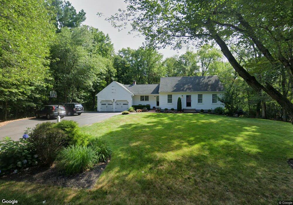
117 Greenwood Rd Andover, MA 01810
West Andover NeighborhoodEstimated Value: $860,212 - $902,000
4
Beds
2
Baths
1,720
Sq Ft
$511/Sq Ft
Est. Value
About This Home
This home is located at 117 Greenwood Rd, Andover, MA 01810 and is currently estimated at $879,553, approximately $511 per square foot. 117 Greenwood Rd is a home located in Essex County with nearby schools including High Plain Elementary School, Wood Hill Middle School, and Willow River Secondary School.
Ownership History
Date
Name
Owned For
Owner Type
Purchase Details
Closed on
Sep 30, 2003
Sold by
Adly Bahram Alfred G and Adly Marina A
Bought by
Burkett Michael N and Burkett Peggy S
Current Estimated Value
Purchase Details
Closed on
Jan 25, 1990
Sold by
Travelers Mtg Serv
Bought by
Adly B A Ghaffar
Purchase Details
Closed on
Nov 9, 1987
Sold by
Gaudette George
Bought by
Lenz Douglas C
Create a Home Valuation Report for This Property
The Home Valuation Report is an in-depth analysis detailing your home's value as well as a comparison with similar homes in the area
Home Values in the Area
Average Home Value in this Area
Purchase History
| Date | Buyer | Sale Price | Title Company |
|---|---|---|---|
| Burkett Michael N | $430,000 | -- | |
| Adly B A Ghaffar | $221,550 | -- | |
| Lenz Douglas C | $252,500 | -- |
Source: Public Records
Mortgage History
| Date | Status | Borrower | Loan Amount |
|---|---|---|---|
| Open | Lenz Douglas C | $274,695 | |
| Closed | Lenz Douglas C | $292,200 |
Source: Public Records
Tax History Compared to Growth
Tax History
| Year | Tax Paid | Tax Assessment Tax Assessment Total Assessment is a certain percentage of the fair market value that is determined by local assessors to be the total taxable value of land and additions on the property. | Land | Improvement |
|---|---|---|---|---|
| 2024 | $9,562 | $742,400 | $427,800 | $314,600 |
| 2023 | $9,139 | $669,000 | $385,400 | $283,600 |
| 2022 | $8,671 | $593,900 | $335,100 | $258,800 |
| 2021 | $8,286 | $541,900 | $304,500 | $237,400 |
| 2020 | $7,942 | $529,100 | $296,900 | $232,200 |
| 2019 | $7,852 | $514,200 | $288,100 | $226,100 |
| 2018 | $7,584 | $484,900 | $277,200 | $207,700 |
| 2017 | $7,271 | $479,000 | $271,800 | $207,200 |
| 2016 | $7,120 | $480,400 | $271,800 | $208,600 |
| 2015 | $6,873 | $459,100 | $261,300 | $197,800 |
Source: Public Records
Map
Nearby Homes
- 37 Crenshaw Ln Unit 37
- 25 Clubview Dr Unit 25
- 13 Clubview Dr Unit 13
- 29 Glenwood Dr
- 15 Geneva Rd
- 14 Geneva Rd
- 0
- 21 Clubview Dr Unit 21
- 96 Beacon St
- 22 Haggetts Pond Rd
- 11 Devonshire St
- 5 Marc Ln
- 750 Brookside Dr Unit G
- 38 Lincoln Cir E
- 10 Martingale Ln Unit 10
- 42 Beresford St
- 6 Windsor St
- 101 Bellevue Rd
- 15 Beaconsfield St
- 102 Weare St
- 122 Greenwood Rd
- 113 Greenwood Rd
- 121 Greenwood Rd
- 118 Greenwood Rd
- 116 Greenwood Rd
- 111 Greenwood Rd
- 112 Greenwood Rd
- 107 Greenwood Rd
- 125 Greenwood Rd
- 189 High Plain Rd
- 127 Greenwood Rd
- 4 Starwood Crossing
- 22 Gleason St
- 108 Greenwood Rd
- 185 High Plain Rd
- 191 High Plain Rd
- 6 Starwood Crossing
- 1 Starwood Crossing
- 18 Gleason St
- 8 Gleason St