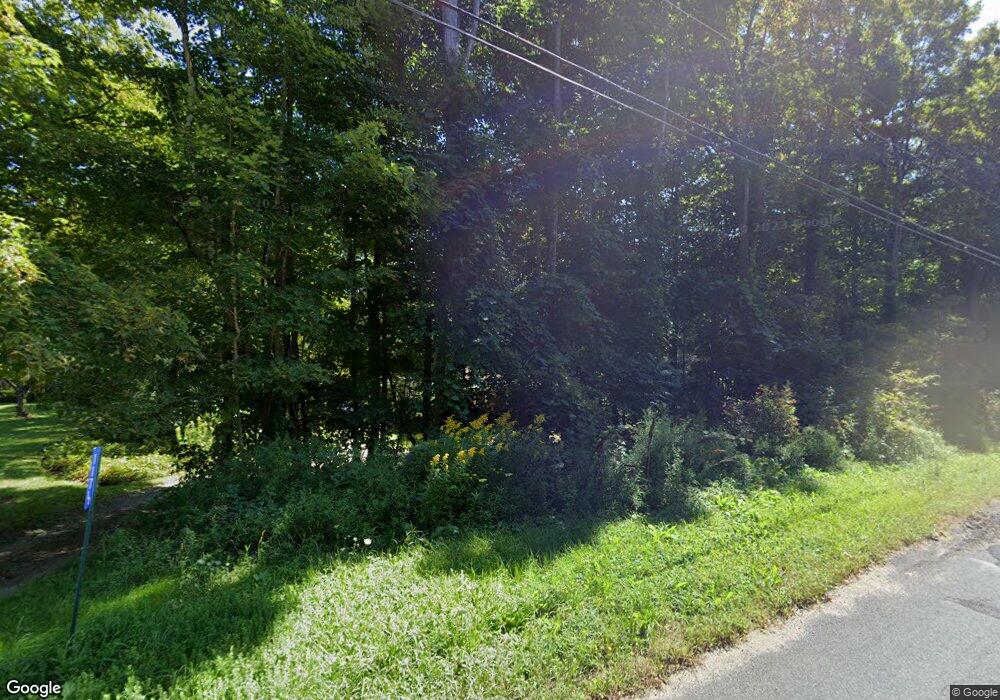
117 Newfield Rd Winsted, CT 06098
Estimated Value: $327,000 - $438,000
3
Beds
2
Baths
1,952
Sq Ft
$193/Sq Ft
Est. Value
About This Home
This home is located at 117 Newfield Rd, Winsted, CT 06098 and is currently estimated at $376,193, approximately $192 per square foot. 117 Newfield Rd is a home located in Litchfield County.
Ownership History
Date
Name
Owned For
Owner Type
Purchase Details
Closed on
Dec 17, 1997
Sold by
Carroll Minnie L Est
Bought by
Healy Joseph M and Healy Barbara P
Current Estimated Value
Home Financials for this Owner
Home Financials are based on the most recent Mortgage that was taken out on this home.
Original Mortgage
$76,000
Outstanding Balance
$12,756
Interest Rate
7.14%
Mortgage Type
Unknown
Estimated Equity
$363,437
Create a Home Valuation Report for This Property
The Home Valuation Report is an in-depth analysis detailing your home's value as well as a comparison with similar homes in the area
Home Values in the Area
Average Home Value in this Area
Purchase History
| Date | Buyer | Sale Price | Title Company |
|---|---|---|---|
| Healy Joseph M | $95,000 | -- | |
| Healy Joseph M | $95,000 | -- |
Source: Public Records
Mortgage History
| Date | Status | Borrower | Loan Amount |
|---|---|---|---|
| Open | Healy Joseph M | $76,000 | |
| Closed | Healy Joseph M | $76,000 | |
| Previous Owner | Healy Joseph M | $50,000 | |
| Closed | Healy Joseph M | $19,000 |
Source: Public Records
Tax History Compared to Growth
Tax History
| Year | Tax Paid | Tax Assessment Tax Assessment Total Assessment is a certain percentage of the fair market value that is determined by local assessors to be the total taxable value of land and additions on the property. | Land | Improvement |
|---|---|---|---|---|
| 2025 | $7,008 | $240,240 | $55,370 | $184,870 |
| 2024 | $6,544 | $240,240 | $55,370 | $184,870 |
| 2023 | $6,340 | $240,240 | $55,370 | $184,870 |
| 2022 | $5,419 | $161,560 | $40,110 | $121,450 |
| 2021 | $5,419 | $161,560 | $40,110 | $121,450 |
| 2020 | $5,419 | $161,560 | $40,110 | $121,450 |
| 2019 | $5,419 | $161,560 | $40,110 | $121,450 |
| 2018 | $5,419 | $161,560 | $40,110 | $121,450 |
| 2017 | $5,283 | $157,500 | $40,110 | $117,390 |
| 2016 | $5,283 | $157,500 | $40,110 | $117,390 |
| 2015 | $5,150 | $157,500 | $40,110 | $117,390 |
| 2014 | $5,026 | $157,500 | $40,110 | $117,390 |
Source: Public Records
Map
Nearby Homes
- 117 South Rd
- 469 Platt Hill Rd
- 440 Platt Hill Rd
- 00 Chapel Rd
- 274 Cliffside Dr Unit 274
- 390 Trailsend Dr Unit 390
- 389 Trailsend Dr
- 98 Woodside Cir
- 90 Woodside Cir
- 103 Woodside Cir
- 207 Ledge Dr
- 174 Ledge Dr
- 250 Cliffside Dr
- 23 Evergreen Rd
- 213 Ledge Dr Unit 213
- 239 Ledge Dr
- 65 Woodside Cir Unit 65
- 225 Ledge Dr
- 431 Trailsend Dr Unit + Garage G128
- 000 Newfield Rd
- 127 Newfield Rd
- 123 Newfield Rd
- 147 Newfield Rd
- 161 Newfield Rd
- 109 Newfield Rd
- 127 Newfield Rd
- 145 Newfield Rd
- 155 Newfield Rd
- 119 Newfield Rd
- 107 Newfield Rd
- 117 1/2 Newfield Rd
- 113 Newfield Rd
- 101 Newfield Rd
- 175 Newfield Rd
- 0 Newfield Rd Unit 170118257
- 0 Newfield Rd Unit L10167958
- 0 Newfield Rd Unit L125415
- 131 Newfield Rd
- 103 Wahnee Rd
- 135 Newfield Rd
