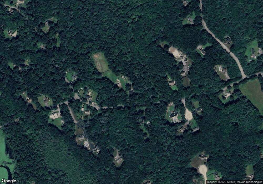
117 Paine St Uxbridge, MA 01569
Estimated Value: $490,760 - $538,000
4
Beds
2
Baths
1,150
Sq Ft
$457/Sq Ft
Est. Value
About This Home
This home is located at 117 Paine St, Uxbridge, MA 01569 and is currently estimated at $525,190, approximately $456 per square foot. 117 Paine St is a home located in Worcester County with nearby schools including Uxbridge High School.
Ownership History
Date
Name
Owned For
Owner Type
Purchase Details
Closed on
Sep 29, 2011
Sold by
Gretchen H Duffield Rt and Duffield Gretchen H
Bought by
Tuck Michael G and Tuck Debra M
Current Estimated Value
Home Financials for this Owner
Home Financials are based on the most recent Mortgage that was taken out on this home.
Original Mortgage
$189,600
Outstanding Balance
$129,626
Interest Rate
4.15%
Mortgage Type
Purchase Money Mortgage
Estimated Equity
$395,564
Create a Home Valuation Report for This Property
The Home Valuation Report is an in-depth analysis detailing your home's value as well as a comparison with similar homes in the area
Home Values in the Area
Average Home Value in this Area
Purchase History
| Date | Buyer | Sale Price | Title Company |
|---|---|---|---|
| Tuck Michael G | $237,000 | -- |
Source: Public Records
Mortgage History
| Date | Status | Borrower | Loan Amount |
|---|---|---|---|
| Open | Tuck Michael G | $189,600 |
Source: Public Records
Tax History Compared to Growth
Tax History
| Year | Tax Paid | Tax Assessment Tax Assessment Total Assessment is a certain percentage of the fair market value that is determined by local assessors to be the total taxable value of land and additions on the property. | Land | Improvement |
|---|---|---|---|---|
| 2025 | $5,306 | $404,700 | $184,000 | $220,700 |
| 2024 | $4,879 | $377,600 | $175,300 | $202,300 |
| 2023 | $4,477 | $320,900 | $150,600 | $170,300 |
| 2022 | $4,322 | $285,100 | $133,200 | $151,900 |
| 2021 | $4,510 | $285,100 | $133,200 | $151,900 |
| 2020 | $4,764 | $284,600 | $141,900 | $142,700 |
| 2019 | $5,118 | $295,000 | $154,900 | $140,100 |
| 2018 | $4,885 | $284,500 | $154,900 | $129,600 |
| 2017 | $4,405 | $259,700 | $140,500 | $119,200 |
| 2016 | $4,305 | $245,000 | $113,800 | $131,200 |
| 2015 | $4,225 | $242,800 | $113,800 | $129,000 |
Source: Public Records
Map
Nearby Homes
- 296 Yew St
- 405 West St
- 153 Davis St
- 104 Eber Taft Rd
- 139 Turner Farm Rd
- 127 Turner Farm Rd
- 117 Turner Farm Rd
- 279 S East Main St Unit Lot 2
- 46 Turner Farm Rd
- 45 Turner Farm Rd
- 99 Maple St
- 307 S East Main St Unit Lot 9
- 303 S East Main St Unit Lot 8
- 299 S East Main St Unit Lot 7
- 295 S East Main St Unit Lot 6
- 18 Turner Farm Rd
- 15 Turner Farm Rd
- 12 Turner Farm Rd
- 33 Summerfield Dr Unit 33
- 134 Mantell Rd
