117 Quaker Hwy Unit 42 Uxbridge, MA 01569
Estimated Value: $236,741 - $311,000
2
Beds
1
Bath
842
Sq Ft
$312/Sq Ft
Est. Value
About This Home
This home is located at 117 Quaker Hwy Unit 42, Uxbridge, MA 01569 and is currently estimated at $262,685, approximately $311 per square foot. 117 Quaker Hwy Unit 42 is a home located in Worcester County with nearby schools including Uxbridge High School and Our Lady of the Valley Regional School.
Ownership History
Date
Name
Owned For
Owner Type
Purchase Details
Closed on
Jan 15, 2009
Sold by
Est Berardi Michael W and Cundall Amy Ann
Bought by
Scorza Matthew P
Current Estimated Value
Home Financials for this Owner
Home Financials are based on the most recent Mortgage that was taken out on this home.
Original Mortgage
$90,000
Outstanding Balance
$57,912
Interest Rate
5.52%
Mortgage Type
Purchase Money Mortgage
Estimated Equity
$204,773
Create a Home Valuation Report for This Property
The Home Valuation Report is an in-depth analysis detailing your home's value as well as a comparison with similar homes in the area
Home Values in the Area
Average Home Value in this Area
Purchase History
| Date | Buyer | Sale Price | Title Company |
|---|---|---|---|
| Scorza Matthew P | $100,000 | -- |
Source: Public Records
Mortgage History
| Date | Status | Borrower | Loan Amount |
|---|---|---|---|
| Open | Scorza Matthew P | $90,000 |
Source: Public Records
Tax History Compared to Growth
Tax History
| Year | Tax Paid | Tax Assessment Tax Assessment Total Assessment is a certain percentage of the fair market value that is determined by local assessors to be the total taxable value of land and additions on the property. | Land | Improvement |
|---|---|---|---|---|
| 2025 | $27 | $203,700 | $0 | $203,700 |
| 2024 | $2,429 | $188,000 | $0 | $188,000 |
| 2023 | $2,284 | $163,700 | $0 | $163,700 |
| 2022 | $1,978 | $130,500 | $0 | $130,500 |
| 2021 | $2,234 | $141,200 | $0 | $141,200 |
| 2020 | $1,835 | $109,600 | $0 | $109,600 |
| 2019 | $1,787 | $103,000 | $0 | $103,000 |
| 2018 | $1,690 | $98,400 | $0 | $98,400 |
| 2017 | $1,528 | $90,100 | $0 | $90,100 |
| 2016 | $1,376 | $78,300 | $0 | $78,300 |
| 2015 | $1,319 | $75,800 | $0 | $75,800 |
Source: Public Records
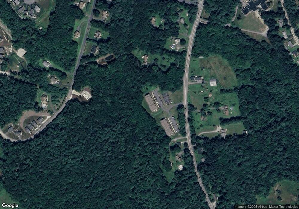
Map
Nearby Homes
- 129 Quaker Hwy Unit 6
- 328 Millville Rd
- 346 Millville Rd
- The Contemporary Villager Plan at Patriot's Landing
- Karenrose Sunnery Plan at Patriot's Landing
- 24 Road Ahr
- 127 Old Millville Rd
- 23 Rifleman Way
- 70 Chocolog Rd
- 288 High St
- 128 Mantell Rd
- 286 Blackstone St
- 100 Spring Hill Dr Unit 100
- 395 High St
- 45 Turner Farm Rd
- 46 Turner Farm Rd
- 18 Turner Farm Rd
- 85 East St
- 15 Turner Farm Rd
- 12 Turner Farm Rd
- 117 Quaker Hwy Unit 48
- 117 Quaker Hwy Unit 47
- 117 Quaker Hwy Unit 46
- 117 Quaker Hwy Unit 45
- 117 Quaker Hwy Unit 44
- 117 Quaker Hwy Unit 43
- 117 Quaker Hwy Unit 41
- 117 Quaker Hwy Unit 40
- 117 Quaker Hwy Unit 39
- 117 Quaker Hwy Unit 38
- 117 Quaker Hwy Unit 37
- 117 Quaker Hwy Unit 36
- 117 Quaker Hwy Unit 35
- 117 Quaker Hwy Unit 34
- 117 Quaker Hwy Unit 33
- 117 Quaker Hwy Unit 32
- 117 Quaker Hwy Unit 31
- 117 Quaker Hwy Unit 30
- 117 Quaker Hwy Unit 29
- 117 Quaker Hwy Unit 28