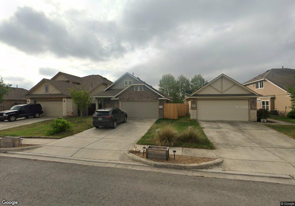
117 Rock Bluff Ln San Marcos, TX 78666
Blanco River District NeighborhoodEstimated Value: $289,184 - $354,000
--
Bed
--
Bath
1,516
Sq Ft
$209/Sq Ft
Est. Value
About This Home
This home is located at 117 Rock Bluff Ln, San Marcos, TX 78666 and is currently estimated at $316,296, approximately $208 per square foot. 117 Rock Bluff Ln is a home with nearby schools including Blanco Vista Elementary School, Laura B Wallace Middle School, and Jack C Hays High School.
Ownership History
Date
Name
Owned For
Owner Type
Purchase Details
Closed on
May 5, 2015
Sold by
Pacesetter Homes Llc
Bought by
Sproles Tyler W and Sproles Janell L
Current Estimated Value
Home Financials for this Owner
Home Financials are based on the most recent Mortgage that was taken out on this home.
Original Mortgage
$200,035
Outstanding Balance
$154,989
Interest Rate
3.84%
Mortgage Type
VA
Estimated Equity
$161,307
Create a Home Valuation Report for This Property
The Home Valuation Report is an in-depth analysis detailing your home's value as well as a comparison with similar homes in the area
Home Values in the Area
Average Home Value in this Area
Purchase History
| Date | Buyer | Sale Price | Title Company |
|---|---|---|---|
| Sproles Tyler W | -- | None Available |
Source: Public Records
Mortgage History
| Date | Status | Borrower | Loan Amount |
|---|---|---|---|
| Open | Sproles Tyler W | $200,035 |
Source: Public Records
Tax History Compared to Growth
Tax History
| Year | Tax Paid | Tax Assessment Tax Assessment Total Assessment is a certain percentage of the fair market value that is determined by local assessors to be the total taxable value of land and additions on the property. | Land | Improvement |
|---|---|---|---|---|
| 2025 | $5,245 | $304,820 | $81,420 | $223,400 |
| 2024 | $5,245 | $304,879 | $88,500 | $253,500 |
| 2023 | $6,003 | $277,163 | $88,500 | $239,960 |
| 2022 | $5,938 | $251,966 | $75,000 | $239,850 |
| 2021 | $5,781 | $229,060 | $54,600 | $174,460 |
| 2020 | $5,041 | $214,720 | $54,600 | $160,120 |
| 2019 | $6,159 | $228,960 | $31,500 | $197,460 |
| 2018 | $5,936 | $220,050 | $31,500 | $188,550 |
| 2017 | $5,702 | $216,820 | $31,500 | $185,320 |
| 2016 | $5,359 | $203,770 | $31,500 | $172,270 |
| 2015 | $789 | $25,200 | $25,200 | $0 |
| 2014 | $789 | $30,000 | $30,000 | $0 |
Source: Public Records
Map
Nearby Homes
- 226 Pincea Place
- 126 Preston Trail
- 234 Rock Bluff Ln
- 3210 Jacob Ln
- 318 Leather Oak Loop
- 105 Leather Oak Loop
- 214 Alford St
- 134 Friendship Oak Dr
- 2836 Jacob Ln
- 228 Durata
- 235 Hay Barn
- 106 Mossycup Dr
- 107 Friendship Oak Dr
- 102 Wainscot Oak Way
- 702 Silo St
- 3105 Brand Iron Dr
- 814 Jesse Trail
- 4527 Royal Oak Blvd
- 120 Witchhazel Way
- 2939 Brand Iron Dr
- 121 Rock Bluff Ln
- 113 Rock Bluff Ln
- 125 Rock Bluff Ln
- 129 Rock Bluff Ln
- 133 Rock Bluff Ln
- 154 Fort Griffin Dr
- 157 Preston Trail
- 150 Fort Griffin Dr
- 149 Fort Griffin Dr
- 201 Rock Bluff Ln
- 145 Fort Griffin Dr
- 141 Fort Griffin Dr
- 146 Fort Griffin Dr
- 205 Rock Bluff Ln
- 153 Preston Trail
- 142 Fort Griffin Dr
- 137 Fort Griffin Dr
- 209 Rock Bluff Ln
- 145 Preston Trail