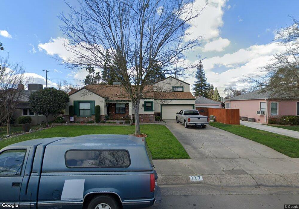
117 S Sunset Dr Lodi, CA 95240
Downtown Lodi NeighborhoodEstimated Value: $506,507 - $616,000
3
Beds
2
Baths
1,779
Sq Ft
$312/Sq Ft
Est. Value
About This Home
This home is located at 117 S Sunset Dr, Lodi, CA 95240 and is currently estimated at $554,877, approximately $311 per square foot. 117 S Sunset Dr is a home located in San Joaquin County with nearby schools including George Washington Elementary School, Millswood Middle School, and Lodi High School.
Ownership History
Date
Name
Owned For
Owner Type
Purchase Details
Closed on
Apr 17, 2003
Sold by
Almarez David and Almarez Sally
Bought by
Almarez David and Almarez Sally
Current Estimated Value
Purchase Details
Closed on
Dec 13, 2002
Sold by
Lewis Paul A and Lewis Rosanne W
Bought by
Almarez David and Almarez Sally
Home Financials for this Owner
Home Financials are based on the most recent Mortgage that was taken out on this home.
Original Mortgage
$200,000
Outstanding Balance
$84,610
Interest Rate
6.03%
Estimated Equity
$470,267
Purchase Details
Closed on
Aug 21, 2002
Sold by
Lewis Paul A
Bought by
Lewis Paul A and Lewis Rosanne W
Home Financials for this Owner
Home Financials are based on the most recent Mortgage that was taken out on this home.
Original Mortgage
$217,600
Interest Rate
6.52%
Create a Home Valuation Report for This Property
The Home Valuation Report is an in-depth analysis detailing your home's value as well as a comparison with similar homes in the area
Home Values in the Area
Average Home Value in this Area
Purchase History
| Date | Buyer | Sale Price | Title Company |
|---|---|---|---|
| Almarez David | -- | -- | |
| Almarez David | $279,000 | Old Republic Title Co | |
| Lewis Paul A | -- | Old Republic Title Company |
Source: Public Records
Mortgage History
| Date | Status | Borrower | Loan Amount |
|---|---|---|---|
| Open | Almarez David | $200,000 | |
| Previous Owner | Lewis Paul A | $217,600 |
Source: Public Records
Tax History
| Year | Tax Paid | Tax Assessment Tax Assessment Total Assessment is a certain percentage of the fair market value that is determined by local assessors to be the total taxable value of land and additions on the property. | Land | Improvement |
|---|---|---|---|---|
| 2025 | $4,315 | $404,054 | $120,200 | $283,854 |
| 2024 | $4,196 | $396,133 | $117,844 | $278,289 |
| 2023 | $4,138 | $388,367 | $115,534 | $272,833 |
| 2022 | $4,044 | $380,753 | $113,269 | $267,484 |
| 2021 | $4,116 | $373,289 | $111,049 | $262,240 |
| 2020 | $4,008 | $369,463 | $109,911 | $259,552 |
| 2019 | $3,926 | $362,219 | $107,756 | $254,463 |
| 2018 | $3,870 | $355,118 | $105,644 | $249,474 |
| 2017 | $3,782 | $348,156 | $103,573 | $244,583 |
| 2016 | $3,361 | $324,000 | $96,000 | $228,000 |
| 2014 | $2,897 | $277,200 | $83,600 | $193,600 |
Source: Public Records
Map
Nearby Homes
- 1413 Mariposa Way
- 1501 Mariposa Way
- 1618 W Locust St
- 1424 Graffigna Ave
- 418 Gerard Dr
- 521 W Pine St
- 1421 Graffigna Ave
- 1416 Reiman St
- 507 N Sunset Dr
- 1427 Reiman St
- 527 Cross St
- 2019 Debbie Ln
- 18 Benson Dr
- 400 Chestnut St
- 333 W Locust St
- 2127 Oxford Way
- 610 N California St
- 1507 Holly Dr
- 838 Virginia Ave
- 820 Ehrhardt Dr
Your Personal Tour Guide
Ask me questions while you tour the home.