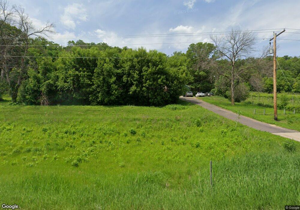
1170 Highway 19 Blvd Red Wing, MN 55066
Estimated Value: $244,000 - $333,000
4
Beds
3
Baths
1,850
Sq Ft
$162/Sq Ft
Est. Value
About This Home
This home is located at 1170 Highway 19 Blvd, Red Wing, MN 55066 and is currently estimated at $299,906, approximately $162 per square foot. 1170 Highway 19 Blvd is a home located in Goodhue County with nearby schools including Burnside Elementary School, Sunnyside Elementary School, and Twin Bluff Middle School.
Ownership History
Date
Name
Owned For
Owner Type
Purchase Details
Closed on
Sep 21, 2020
Sold by
Furchner Crystal Kay and Estate Of Judith D Guenzler
Bought by
Herling Zachary B
Current Estimated Value
Home Financials for this Owner
Home Financials are based on the most recent Mortgage that was taken out on this home.
Original Mortgage
$170,905
Outstanding Balance
$151,667
Interest Rate
2.9%
Mortgage Type
New Conventional
Estimated Equity
$148,239
Create a Home Valuation Report for This Property
The Home Valuation Report is an in-depth analysis detailing your home's value as well as a comparison with similar homes in the area
Home Values in the Area
Average Home Value in this Area
Purchase History
| Date | Buyer | Sale Price | Title Company |
|---|---|---|---|
| Herling Zachary B | $179,900 | None Available |
Source: Public Records
Mortgage History
| Date | Status | Borrower | Loan Amount |
|---|---|---|---|
| Open | Herling Zachary B | $170,905 |
Source: Public Records
Tax History Compared to Growth
Tax History
| Year | Tax Paid | Tax Assessment Tax Assessment Total Assessment is a certain percentage of the fair market value that is determined by local assessors to be the total taxable value of land and additions on the property. | Land | Improvement |
|---|---|---|---|---|
| 2025 | $4,558 | $280,000 | $75,000 | $205,000 |
| 2024 | $4,558 | $276,100 | $75,000 | $201,100 |
| 2023 | $2,171 | $261,900 | $75,000 | $186,900 |
| 2022 | $3,540 | $260,500 | $75,000 | $185,500 |
| 2021 | $2,938 | $228,600 | $75,000 | $153,600 |
| 2020 | $2,954 | $214,000 | $75,000 | $139,000 |
| 2019 | $2,986 | $202,200 | $75,000 | $127,200 |
| 2018 | $2,468 | $206,300 | $75,000 | $131,300 |
| 2017 | $2,412 | $185,400 | $75,000 | $110,400 |
| 2016 | $2,250 | $183,600 | $75,000 | $108,600 |
| 2015 | $2,182 | $180,200 | $75,000 | $105,200 |
| 2014 | -- | $174,900 | $75,000 | $99,900 |
Source: Public Records
Map
Nearby Homes
- TBD Mill Rd
- 4958 Chalet Ct
- 4990 Chalet Ct
- 4994 Chalet Ct
- 4986 Chalet Ct
- 4976 Chalet Ct
- 914 Snowbird Dr
- 910 Snowbird Dr
- 906 Snowbird Dr
- 921 Snowbird Dr
- 4786 Mount Hood Ln
- 4739 Big Sky Ct
- 1056 Birch Ave
- 808 Aurora Cir
- 853 Aurora Cir
- 912 Aurora Cir
- 936 Aurora Cir
- 980 Aurora Cir
- 135 Kingswood Dr
- 232 Fern Ave
- 1260 Highway 19 Blvd
- 900 Highway 19 Blvd
- 1491 Old Highway 19
- 1651 Old Highway 19
- 5261 Mill Rd
- 530 Highway 19 Blvd
- 570 Hwy 19 Blvd
- 570 Hwy 19 Blvd
- 5201 Mill Rd
- 5995 Leeson Ln
- 1983 Old Highway 19
- 5125 Mill Rd
- XXX Highway 19 Blvd
- Lot 9 Cannondale Ct
- Lot 10 Cannondale Ct
- Lot 3 Cannondale Ct
- 5545 Cannon Dale Ct
- 5537 Cannon Dale Ct
- 5561 Cannon Dale Ct
- 5531 Cannon Dale Ct