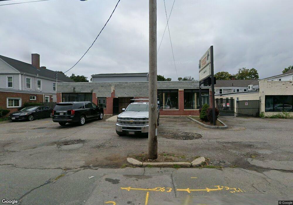
1171 Main St Brockton, MA 02301
Campello NeighborhoodEstimated Value: $530,324
4
Beds
3
Baths
7,000
Sq Ft
$76/Sq Ft
Est. Value
About This Home
This home is located at 1171 Main St, Brockton, MA 02301 and is currently estimated at $530,324, approximately $75 per square foot. 1171 Main St is a home located in Plymouth County with nearby schools including Davis K-8 School, John F. Kennedy Elementary School, and South Middle School.
Ownership History
Date
Name
Owned For
Owner Type
Purchase Details
Closed on
Dec 19, 2017
Sold by
Teen Challenge New Eng
Bought by
Bethesda Missionary Ba
Current Estimated Value
Home Financials for this Owner
Home Financials are based on the most recent Mortgage that was taken out on this home.
Original Mortgage
$225,000
Outstanding Balance
$189,430
Interest Rate
3.94%
Mortgage Type
Commercial
Estimated Equity
$340,894
Create a Home Valuation Report for This Property
The Home Valuation Report is an in-depth analysis detailing your home's value as well as a comparison with similar homes in the area
Home Values in the Area
Average Home Value in this Area
Purchase History
| Date | Buyer | Sale Price | Title Company |
|---|---|---|---|
| Bethesda Missionary Ba | $300,000 | -- |
Source: Public Records
Mortgage History
| Date | Status | Borrower | Loan Amount |
|---|---|---|---|
| Open | Bethesda Missionary Ba | $225,000 |
Source: Public Records
Tax History Compared to Growth
Tax History
| Year | Tax Paid | Tax Assessment Tax Assessment Total Assessment is a certain percentage of the fair market value that is determined by local assessors to be the total taxable value of land and additions on the property. | Land | Improvement |
|---|---|---|---|---|
| 2025 | -- | $452,000 | $226,900 | $225,100 |
| 2024 | -- | $420,800 | $206,300 | $214,500 |
| 2023 | $0 | $373,900 | $179,000 | $194,900 |
| 2022 | $0 | $351,700 | $179,000 | $172,700 |
| 2021 | $0 | $335,000 | $170,500 | $164,500 |
| 2020 | $0 | $310,400 | $162,300 | $148,100 |
| 2019 | $0 | $299,400 | $162,300 | $137,100 |
| 2018 | $0 | $299,400 | $162,300 | $137,100 |
| 2017 | $0 | $299,400 | $162,300 | $137,100 |
| 2016 | -- | $283,320 | $162,340 | $120,980 |
| 2015 | -- | $283,320 | $162,340 | $120,980 |
| 2014 | -- | $283,320 | $162,340 | $120,980 |
Source: Public Records
Map
Nearby Homes
- 223 Clinton St Unit 10
- 223 Clinton St Unit 3
- 115 Market St
- 65 Tremont St
- 977 Warren Ave
- 936 Warren Ave
- 103 Clinton St
- 163 S Leyden St
- 35 Longworth Ave Unit 17
- 137 Channing Ave
- 47 Southworth St
- 15 1st St
- 29 Hancock St
- 54 Ferris Ave
- 16 Hancock St
- 20 Custer St
- 61 Myrtle St
- 99 Grove St
- 18 Florence St
- 112 Hillside Ave
- 1159 Main St
- 1159&1171 Main St
- 1181 Main St
- 21 Lyon Ave
- 1180 Main St
- 1151 Main St
- 14 Market St
- 1147 Main St Unit 206
- 1170 Main St Unit 4
- 1170 Main St Unit 5
- 1170 Main St Unit 6
- 1170 Main St
- 11 Lyon Ave
- 13 Lyon Ave Unit 13 Lyon Ave 1
- 13 Lyon Ave
- 11 Lyon Ave
- 18 Rutland Square
- 16 Rutland Square
- 23 Lyon Ave
- 1201 Main St