11721 69th St E Parrish, FL 34219
Estimated Value: $626,000
3
Beds
2
Baths
2,118
Sq Ft
$296/Sq Ft
Est. Value
About This Home
This home is located at 11721 69th St E, Parrish, FL 34219 and is currently priced at $626,000, approximately $295 per square foot. 11721 69th St E is a home located in Manatee County with nearby schools including Barbara A. Harvey Elementary School, Buffalo Creek Middle School, and Parrish Community High School.
Ownership History
Date
Name
Owned For
Owner Type
Purchase Details
Closed on
Jul 26, 2019
Sold by
Sorg Jr David 1 and Sorg Melanie J
Bought by
Manatee County
Current Estimated Value
Purchase Details
Closed on
Sep 7, 1993
Sold by
Walker Charles B
Bought by
Sorg David W and Sorg Melanie J
Home Financials for this Owner
Home Financials are based on the most recent Mortgage that was taken out on this home.
Original Mortgage
$143,700
Interest Rate
7.24%
Mortgage Type
Purchase Money Mortgage
Create a Home Valuation Report for This Property
The Home Valuation Report is an in-depth analysis detailing your home's value as well as a comparison with similar homes in the area
Home Values in the Area
Average Home Value in this Area
Purchase History
| Date | Buyer | Sale Price | Title Company |
|---|---|---|---|
| Manatee County | -- | Attorney | |
| Sorg David W | $40,000 | -- |
Source: Public Records
Mortgage History
| Date | Status | Borrower | Loan Amount |
|---|---|---|---|
| Previous Owner | Sorg David W | $143,700 |
Source: Public Records
Tax History
| Year | Tax Paid | Tax Assessment Tax Assessment Total Assessment is a certain percentage of the fair market value that is determined by local assessors to be the total taxable value of land and additions on the property. | Land | Improvement |
|---|---|---|---|---|
| 2025 | -- | $483,818 | $153,000 | $330,818 |
| 2023 | -- | $490,047 | $91,800 | $398,247 |
| 2022 | -- | $433,067 | $90,000 | $343,067 |
| 2021 | $0 | $383,032 | $100,000 | $283,032 |
| 2020 | $215 | $337,055 | $67,500 | $269,555 |
| 2019 | $1,738 | $211,762 | $0 | $0 |
| 2018 | $2,733 | $207,814 | $0 | $0 |
| 2017 | $2,530 | $203,540 | $0 | $0 |
| 2016 | $2,522 | $199,354 | $0 | $0 |
Source: Public Records
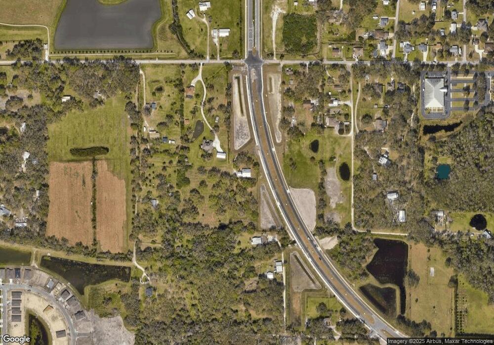
Map
Nearby Homes
- 6209 116th Ave E
- 6306 115th Ave E
- 11452 64th St E
- 6203 115th Ave E
- 11415 61st St E
- 11880 Us Highway 301 N
- 7121 122nd Ave E
- 6307 114th Ave E
- 6413 114th Ave E
- 11439 57th St E
- 11114 58th Street Cir E
- 283 Gardenia Ln
- 11742 Hidden Forest Loop
- 120 Heather Ln
- 114 Sunflower Dr
- 1628 Rio Vista Terrace
- 1517 Rio Vista Terrace
- 273 Gardenia Ln
- 12300 Parrish Cemetary Rd
- 168 Begonia Terrace
- 11731 69th St E
- 11715 69th St E
- 6616 Youngblood Rd
- 11819 69th St E
- 11711 69th St E
- 11740 Darsey Rd
- 11825 69th St E
- 11811 69th St E
- 6412 Youngblood Rd
- 11661 69th St E
- 11823 69th St E
- 11805 69th St E
- 11760 69th St E
- 11835 69th St E
- 11738 Darsey Rd
- 11845 69th St E
- 11822 69th St E
- 11847 69th St E
- 6304 Youngblood Rd
- 11909 69th St E
Your Personal Tour Guide
Ask me questions while you tour the home.