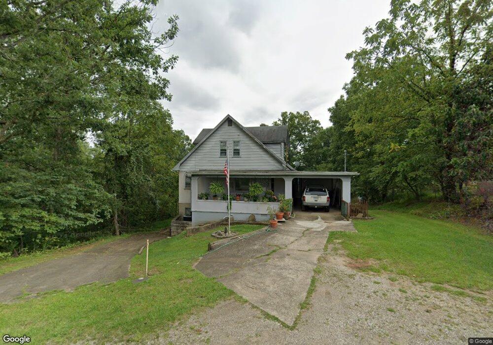
1174 Mcgill Rd Vincent, OH 45784
Estimated Value: $199,737 - $293,000
4
Beds
4
Baths
1,350
Sq Ft
$196/Sq Ft
Est. Value
About This Home
This home is located at 1174 Mcgill Rd, Vincent, OH 45784 and is currently estimated at $263,934, approximately $195 per square foot. 1174 Mcgill Rd is a home with nearby schools including Warren High School.
Ownership History
Date
Name
Owned For
Owner Type
Purchase Details
Closed on
Nov 4, 2002
Bought by
Dorst Pauline L
Current Estimated Value
Purchase Details
Closed on
Apr 20, 1994
Bought by
Dorst Pauline L and Dorst Dorst
Purchase Details
Closed on
Apr 3, 1990
Bought by
Dorst Mae Stout
Purchase Details
Closed on
Jul 1, 1987
Create a Home Valuation Report for This Property
The Home Valuation Report is an in-depth analysis detailing your home's value as well as a comparison with similar homes in the area
Home Values in the Area
Average Home Value in this Area
Purchase History
| Date | Buyer | Sale Price | Title Company |
|---|---|---|---|
| Dorst Pauline L | -- | -- | |
| Dorst Pauline L | -- | -- | |
| Dorst Mae Stout | -- | -- | |
| -- | $43,500 | -- |
Source: Public Records
Tax History Compared to Growth
Tax History
| Year | Tax Paid | Tax Assessment Tax Assessment Total Assessment is a certain percentage of the fair market value that is determined by local assessors to be the total taxable value of land and additions on the property. | Land | Improvement |
|---|---|---|---|---|
| 2024 | $986 | $33,880 | $9,610 | $24,270 |
| 2023 | $986 | $33,880 | $9,610 | $24,270 |
| 2022 | $1,024 | $33,880 | $9,610 | $24,270 |
| 2021 | $836 | $28,180 | $9,530 | $18,650 |
| 2020 | $785 | $28,180 | $9,530 | $18,650 |
| 2019 | $774 | $28,180 | $9,530 | $18,650 |
| 2018 | $767 | $27,390 | $8,670 | $18,720 |
| 2017 | $762 | $27,390 | $8,670 | $18,720 |
| 2016 | $1,405 | $27,390 | $8,670 | $18,720 |
| 2015 | $570 | $24,140 | $8,350 | $15,790 |
| 2014 | $1,252 | $24,140 | $8,350 | $15,790 |
| 2013 | $478 | $30,280 | $13,010 | $17,270 |
Source: Public Records
Map
Nearby Homes
- 1556 Mcgill Rd
- 28 Mcgill Rd
- 2207 Veto Rd
- 631 Short Brook Rd
- 0 Brackenridge Rd Unit 23885979
- 0 Brackenridge Rd Unit 23885976
- 265 James Ln
- 120 Fleming Dr
- 135 Knob Dr
- 735 Timberline Dr
- 852 Wallace Rd
- 464 Cave Hill Rd
- 1462 State Route 339
- 15 Oakmont Dr
- 1396 State Route 339
- 545 Lewis Pointe Dr
- 19 Suzanne St
- 6570 State Route 339
- 0 T1309
- 8045 Veto Rd