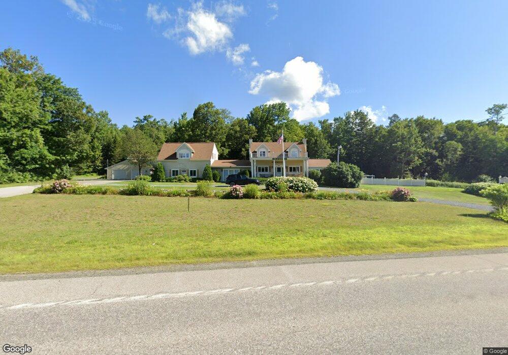
1174 U S Route 2 Randolph, NH 03593
Estimated Value: $1,686,658
--
Bed
--
Bath
5,946
Sq Ft
$284/Sq Ft
Est. Value
About This Home
This home is located at 1174 U S Route 2, Randolph, NH 03593 and is currently estimated at $1,686,658, approximately $283 per square foot. 1174 U S Route 2 is a home located in Coos County with nearby schools including Edward Fenn Elementary School and Gorham High School.
Ownership History
Date
Name
Owned For
Owner Type
Purchase Details
Closed on
Dec 3, 2021
Sold by
Gerard E Hamanne T E and Gerard Hamanne
Bought by
Bowman Inn Llc
Current Estimated Value
Home Financials for this Owner
Home Financials are based on the most recent Mortgage that was taken out on this home.
Original Mortgage
$354,000
Outstanding Balance
$323,711
Interest Rate
3.14%
Mortgage Type
Purchase Money Mortgage
Estimated Equity
$1,362,947
Create a Home Valuation Report for This Property
The Home Valuation Report is an in-depth analysis detailing your home's value as well as a comparison with similar homes in the area
Home Values in the Area
Average Home Value in this Area
Purchase History
| Date | Buyer | Sale Price | Title Company |
|---|---|---|---|
| Bowman Inn Llc | $1,180,000 | None Available | |
| Bowman Inn Llc | $1,180,000 | None Available |
Source: Public Records
Mortgage History
| Date | Status | Borrower | Loan Amount |
|---|---|---|---|
| Open | Bowman Inn Llc | $354,000 | |
| Closed | Bowman Inn Llc | $354,000 |
Source: Public Records
Tax History Compared to Growth
Tax History
| Year | Tax Paid | Tax Assessment Tax Assessment Total Assessment is a certain percentage of the fair market value that is determined by local assessors to be the total taxable value of land and additions on the property. | Land | Improvement |
|---|---|---|---|---|
| 2024 | $15,590 | $1,399,500 | $269,000 | $1,130,500 |
| 2023 | $13,131 | $672,000 | $92,800 | $579,200 |
| 2022 | $11,370 | $672,000 | $92,800 | $579,200 |
| 2021 | $9,930 | $642,300 | $92,800 | $549,500 |
| 2020 | $9,699 | $642,300 | $92,800 | $549,500 |
| 2019 | $9,506 | $642,300 | $92,800 | $549,500 |
| 2018 | $9,014 | $621,200 | $96,200 | $525,000 |
| 2017 | $9,107 | $621,200 | $96,200 | $525,000 |
| 2016 | $9,275 | $621,200 | $96,200 | $525,000 |
| 2015 | $9,094 | $621,200 | $96,200 | $525,000 |
| 2014 | $8,989 | $621,200 | $96,200 | $525,000 |
| 2012 | $8,847 | $553,600 | $67,400 | $486,200 |
Source: Public Records
Map
Nearby Homes
- 1174 Us Route 2
- 1502 US Route 2
- 00 U S Highway 2
- 1860 Presidential Hwy
- 0 Presidential Hwy Unit 23669413
- 67 Owls Head Hwy
- 00 Us Rte 2
- 69 Casey Ln
- 0 Meadows Rd Unit 4C-1 5054578
- 280 Gorham Hill Rd
- 959 Presidential Hwy
- 00 Meadows Rd Unit 4C-2
- 0000 Meadows Rd Unit 4C-4
- 000 Meadows Rd Unit 4C-3
- 0000 Meadows Rd Unit Lot Map 8 Lot 4C- 4
- 141 Lancaster Rd Unit 28
- 141 Lancaster Rd Unit 14
- 141 Lancaster Rd
- 141 Lancaster Rd Unit TRLR 1
- 729 Presidential Hwy
- 1174 Us Route 2
- 1174 Us Route 2
- 1174 U S Highway 2
- 1174 U S 2
- 00 Us Route 2 Ns
- US Route 2 Map R 14 Lot 7
- 1097 Us Route 2
- 1223 Us Route 2
- 1239 Us Route 2
- 1096 Us Route 2
- 1096 U S Route 2
- 1095 Us Route 2
- 1092 Us Route 2
- 1092 Us Route 2
- 1080 Us Route 2
- 1266 Us Route 2
- 1062 Us Route 2
- 1062 Us Route 2
- 1062 Us Route 2
- 1280 Us Route 2